

| Mesoscale Discussion 2322 | |
| < Previous MD | |

|
|
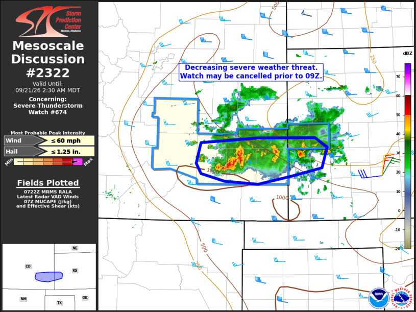
Mesoscale Discussion 2322 NWS Storm Prediction Center Norman OK 0224 AM CDT Mon Sep 21 2026 Areas affected...southeast Colorado and portions of western Kansas Concerning...Severe Thunderstorm Watch 674... Valid 210724Z - 210830Z The severe weather threat for Severe Thunderstorm Watch 674 continues. SUMMARY...The threat for severe weather is diminishing and the remaining valid portions of the watch may be cancelled prior to the 09Z expiration. DISCUSSION...Recent trends in volumetric radar data indicate decreasing echo tops and updraft intensities owing to the presence of considerable convective inhibition and the resultant disruption of previous supercell structures. Ongoing storms over portions of Otero, Bent, and Prowers Counties in southeast CO may remain capable of locally gusty winds and sub-severe hail for the next hour or so. However, in general, the threat for organized severe weather appears to have ended. ..Mead.. 09/21/2026 ...Please see www.spc.noaa.gov for graphic product... ATTN...WFO...DDC...GLD...PUB... LAT...LON 38000407 38360396 38450271 38440144 38270117 37910129 37770195 37640270 37680344 37820396 38000407 MOST PROBABLE PEAK WIND GUST...UP TO 60 MPH MOST PROBABLE PEAK HAIL SIZE...UP TO 1.25 IN |
|
|
Top/All Mesoscale Discussions/Forecast Products/Home |
|
Source link