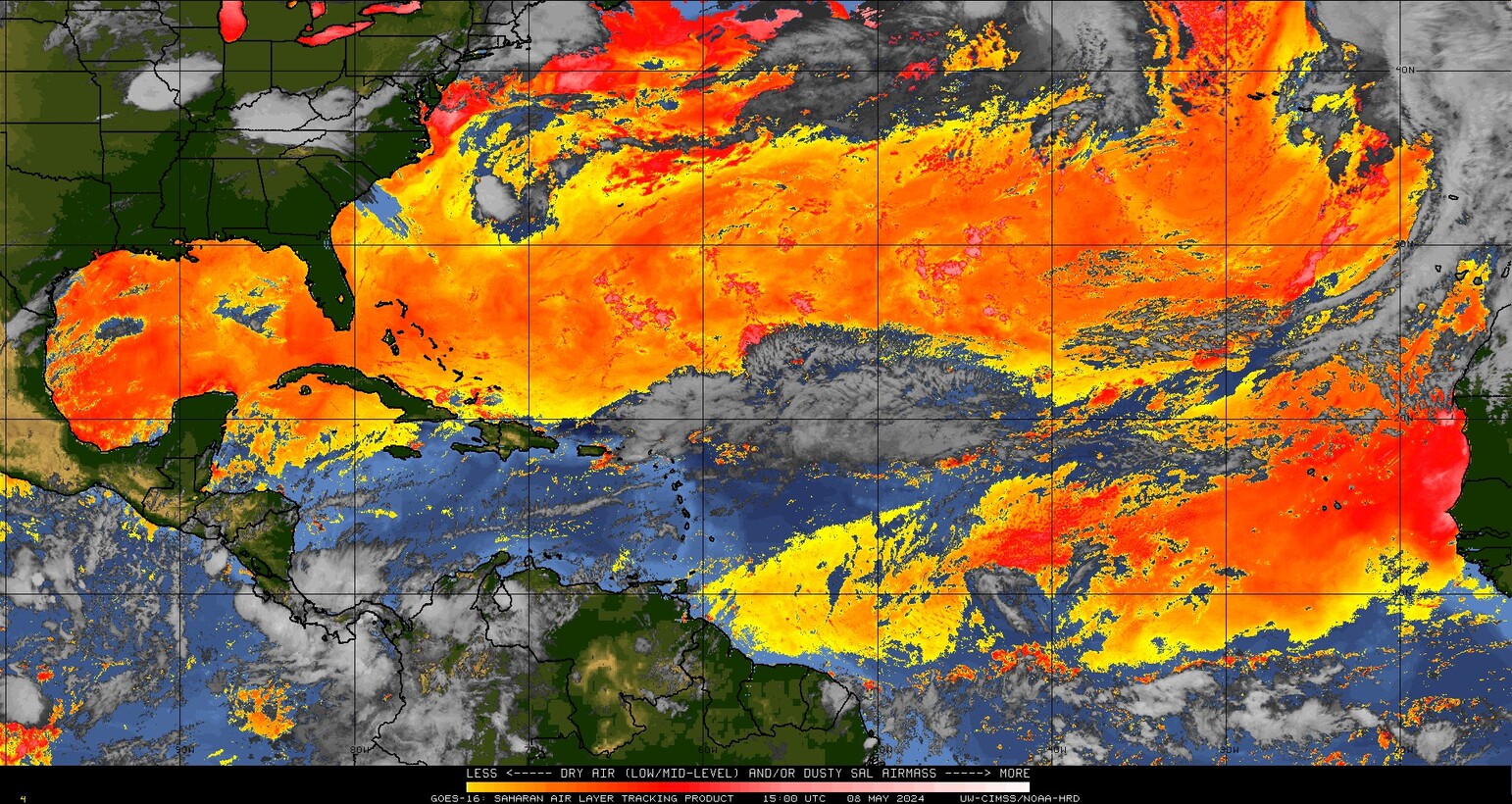
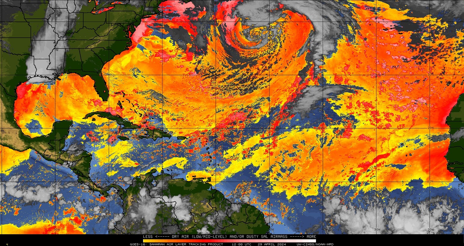
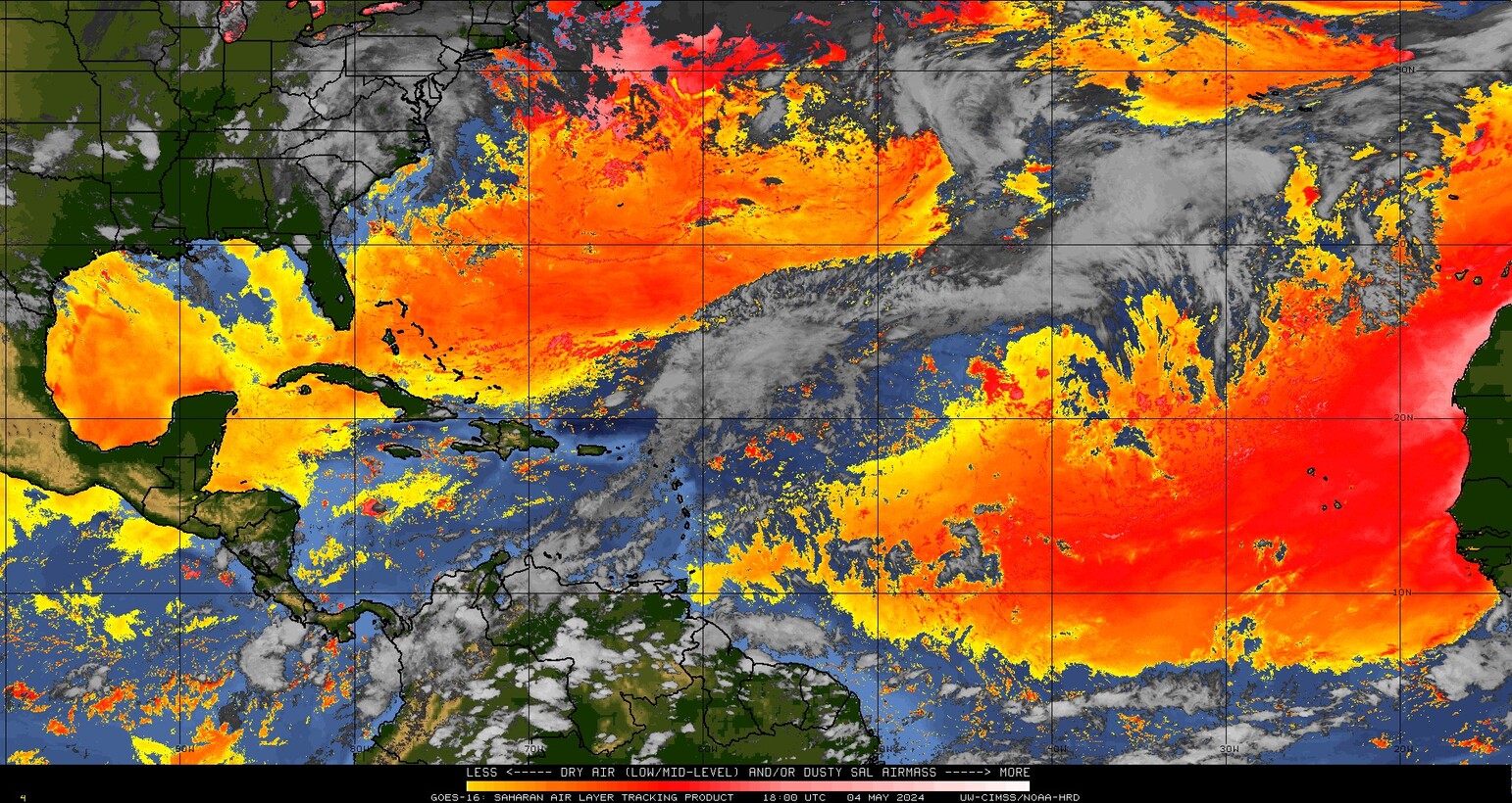
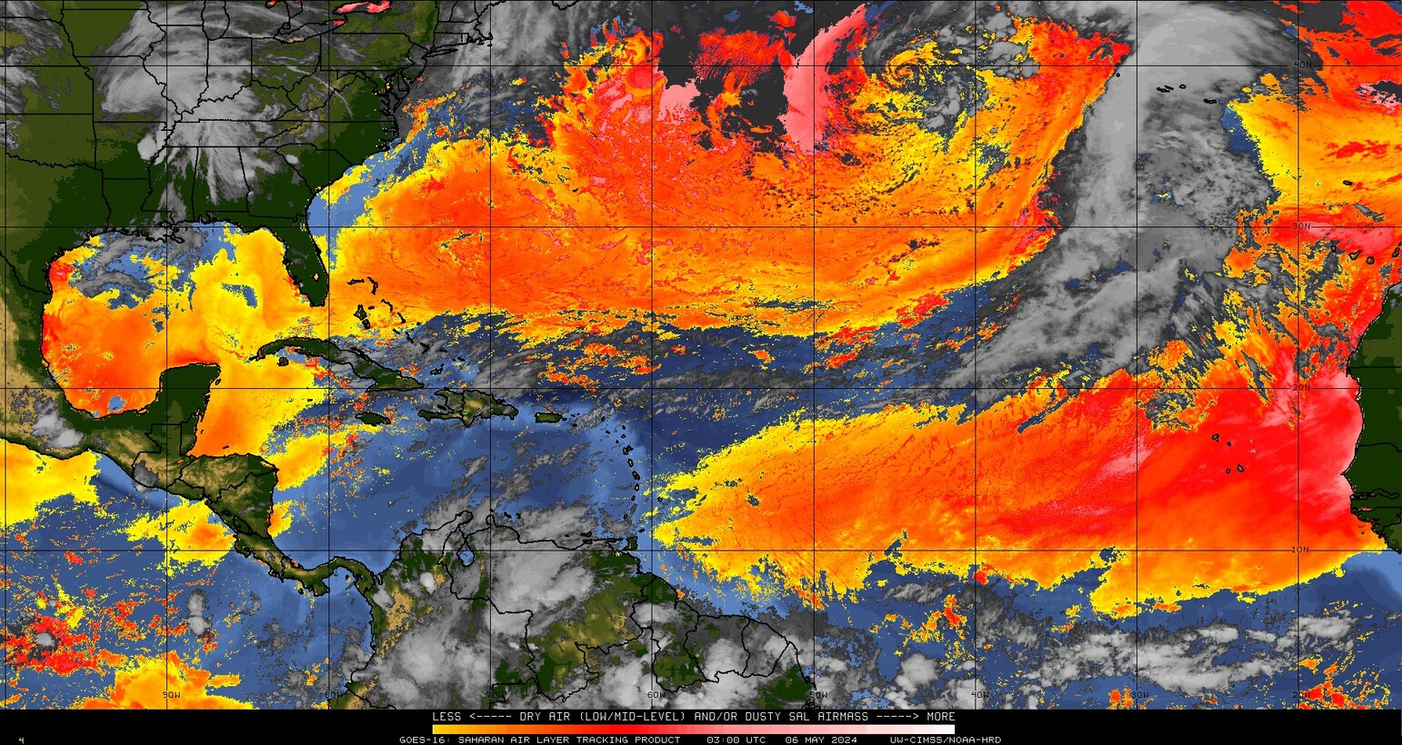
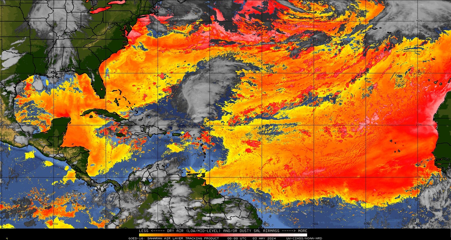
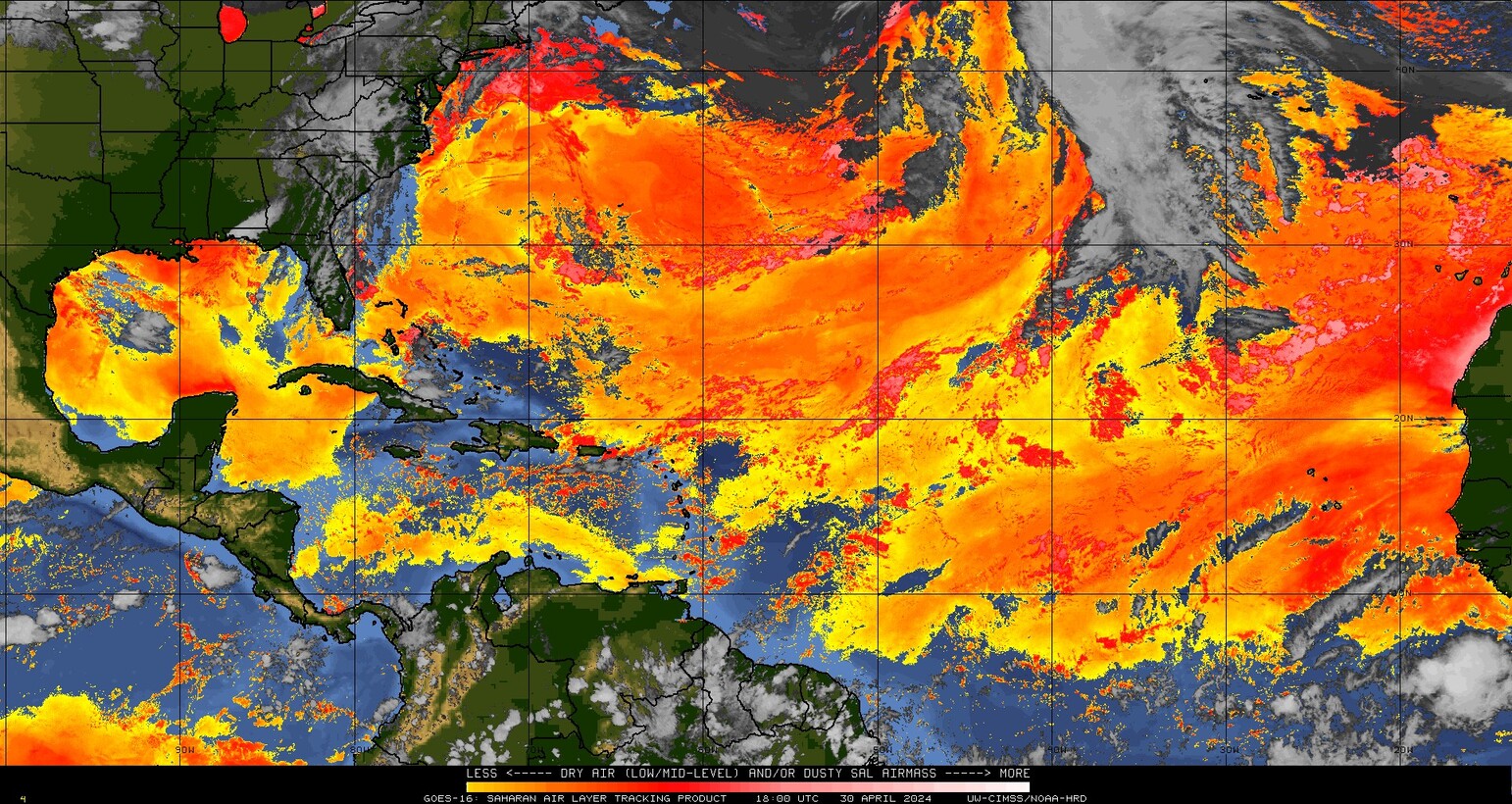
Track the movement of Saharan Dust across the globe with this map loop tool. Every summer, a massive plume of dry, dusty air known as the Saharan Air Layer (SAL) travels thousands of miles from Africa across the Atlantic Ocean. Our live, user-friendly radar lets you monitor this dust cloud in real time as it moves toward the Caribbean, Florida, and the Gulf Coast. Saharan dust brings dry air and high wind shear. This powerful combination actively chokes and minimizes tropical storm development.
Saharan Air Layer (SAL) Map Loop
Map loop consists of images from the last 24 hours.