Graphical Tropical Weather Outlook
The Tropical Weather Outlook discusses significant areas of disturbed weather and their potential for development during the next 7 days, including a categorical forecast of the probability of tropical cyclone formation during the first 48 hours, and during the entire 7-day forecast period. The 48 h and 7-day probabilities of formation for each disturbance are given to the nearest 10% and expressed in terms of one of the following categories: low probability of development (0-30%), medium probability (40-60%), and high probability of development (70-100%).
The Tropical Weather Outlook is issued every six hours from 15 May–30 November for the Atlantic and Eastern North Pacific basins, and from 1 June–30 November for the Central North Pacific Basins at 0000, 0600, 1200, 1800 UTC.
Interactive Map Outlook
All three basins are combined inside the interactive map. Click on active polygons for more information.
Also see Live Hurricane Tracker Map
Atlantic Outlook Images


000
ABNT20 KNHC 011707
TWOAT

Tropical Weather Outlook
NWS National Hurricane Center Miami FL
200 PM EDT Sat Aug 1 2026

For the North Atlantic...Caribbean Sea and the Gulf of America:

Tropical cyclone formation is not expected during the next 7 days.

$$
Forecaster Hagen/Pierce
Eastern Pacific Outlook Images
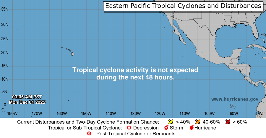


000 ABPZ20 KNHC 011710 TWOEP Tropical Weather Outlook NWS National Hurricane Center Miami FL 1100 AM PDT Sat Aug 1 2026 For the eastern and central North Pacific east of 180 longitude: Active Systems: The National Hurricane Center is issuing advisories on Tropical Storm Genevieve, located well west of the southern tip of the Baja California Peninsula. Tropical cyclone formation is not expected during the next 7 days. $$ Forecaster Hagen/Pierce |
Central Pacific Outlook Images
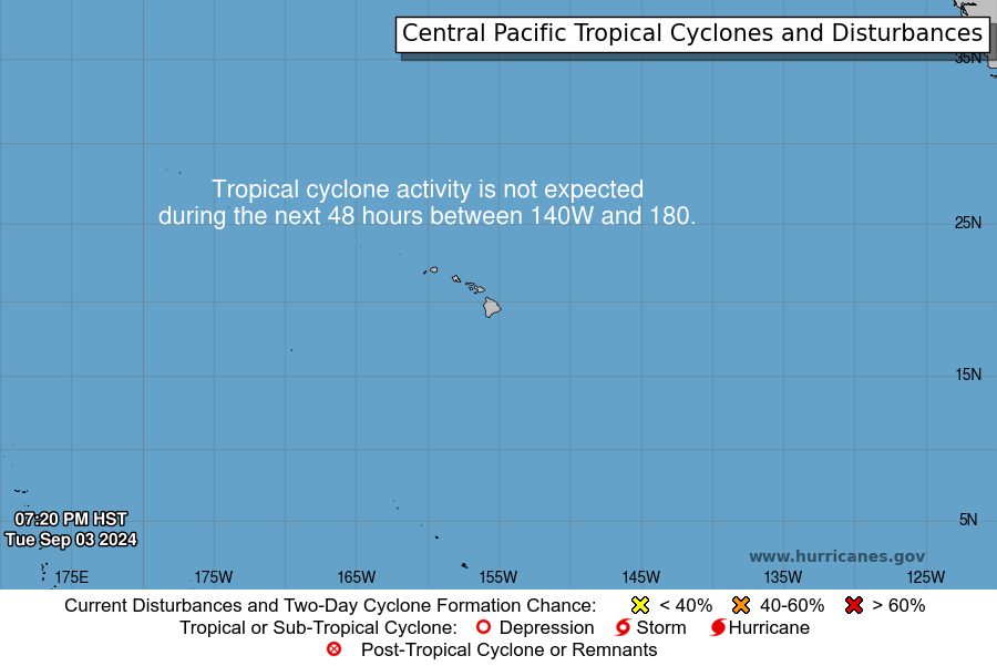


000 ACPN50 PHFO 011710 TWOCP Tropical Weather Outlook NWS Central Pacific Hurricane Center Honolulu HI Issued by NWS National Hurricane Center Miami FL 800 AM HST Sat Aug 01 2026 For the central North Pacific...between 140W and 180W: Active Systems: The National Hurricane Center is issuing advisories on Tropical Storm Genevieve, located well west of the southern tip of the Baja California Peninsula. Tropical cyclone formation is not expected during the next 7 days. $$ Forecaster Hagen/Pierce NNNN |
Hurricane tracking and tropical outlook weather data is provided courtesy of the National Hurricane Center