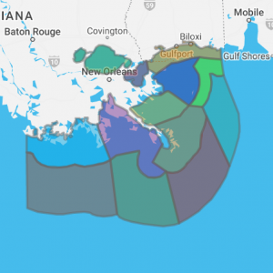
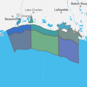
Louisiana Marine Forecast Interactive Clickable Zone Map
Louisiana NOAA marine forecasts zones for the Gulf of Mexico, coastal waters, bays and offshore. Marine data below are from the following Louisiana offices:
- New Orleans, Pascagoula to Atchafalaya river out 60 NM
- Lake Charles, Coastal waters from the Lower Atchafalaya River LA to High Island TX out 60 NM including Sabine and Calcasieu Lakes and Vermilion Bay
Click any zone on the map below to retrieve forecast
Coastal marine forecasts from NOAA National Weather Service. Marine forecasts are issued at least four times a day. Advisories, watches and warnings for marine areas are issued as required. Internet forecasts should never be relied upon to obtain the latest forecast and warning data. Use other means such as NOAA Weather Radio to obtain the latest forecasts and warnings.
For more marine forecast information visit the following office websites:


