

 |
| Mesoscale Discussion 1517 | |
| < Previous MD Next MD > | |
|
|
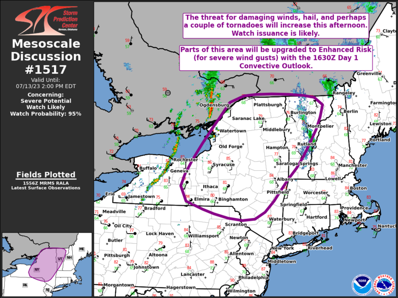
Mesoscale Discussion 1517 NWS Storm Prediction Center Norman OK 0716 PM CDT Sun Jul 05 2026 Areas affected...The Texas Big Country Concerning...Severe Thunderstorm Watch 463... Valid 060016Z - 060145Z The severe weather threat for Severe Thunderstorm Watch 463 continues. SUMMARY...Occasional strong-severe gusts will be possible through about 02-03z. Southward extension of WW 463 may need to be considered, but a new watch is not likely. DISCUSSION...Storm clusters continue to spread south-southwestward on convective outflow, into a remaining hot air mass with moderate buoyancy and very steep low-level lapse rates. The storms will spread south of the current watch counties, with some southward expansion possible. However, the storms will begin to move south of the somewhat richer moisture/larger buoyancy and should begin to weaken around 02-03z. Thereafter, while gusty outflow winds will be possible, the weakening convection will result in weakening of the cold pool and associated severe-gust threat. ..Thompson.. 07/06/2026 ...Please see www.spc.noaa.gov for graphic product... ATTN...WFO...FWD...SJT...MAF... LAT...LON 32560082 32470024 32519963 32629882 32469863 32049864 31649892 31509964 31440021 31520078 31710146 32080172 32390187 32720186 32840168 32840132 32560082 MOST PROBABLE PEAK WIND GUST...65-80 MPH MOST PROBABLE PEAK HAIL SIZE...UP TO 1.25 IN |
|
|
Top/All Mesoscale Discussions/Forecast Products/Home |
|
Source link