Tampa Bay Florida Marine Forecast Interactive Clickable Zone Map
Marine forecast zone from the state of Florida Tampa Bay NOAA office which include the Gulf of Mexico, coastal waters, bays and offshore. Marine forecast areas included are Cedar Key, Homosassa, Hudson, New Port Richey, Anclote, Tarpon Springs, Palm Harbor, Tarpon Springs, Dunedin, Clearwater, Indian Shores, Madeira Beach, St Pete, Bradenton, Longboat key, Siesta Key, Venice, Englewood, Cape Haze, Placida, Boca Grande, Captiva, Sanibel, Charlotte Harbor, Fort Myers, Cape Coral and Bonita Springs
Tampa Bay Marine Forecast Zone Map
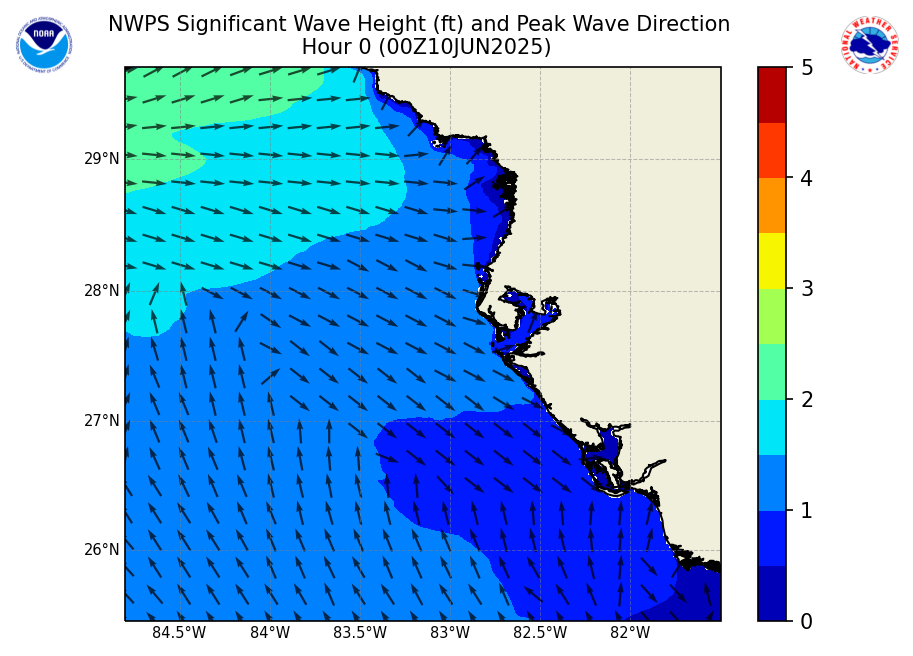
Significant Wave Height Forecast


Marine forecasts are issued at least four times a day. Advisories, Watches and Warnings for Marine Areas are issued as required. Internet forecasts should never be relied upon to obtain the latest forecast and warning data. Use other means such as NOAA Weather Radio to obtain the latest forecasts and warnings.
Tampa Bay Zone Marine Forecast Text Links
- GMZ830 Tampa Bay Waters
- GMZ853 Coastal waters from Englewood to Tarpon Springs FL out 20 NM
- GMZ873 Waters from Englewood to Tarpon Springs FL out 20 to 60 NM
- GMZ836 Charlotte Harbor and Pine Island Sound
- GMZ856 Coastal waters from Bonita Beach to Englewood FL out 20 NM
- GMZ876 Waters from Bonita Beach to Englewood FL out 20 to 60 NM
- GMZ850 Coastal waters from Tarpon Springs to Suwannee River FL out 20 NM
- GMZ870 Waters from Tarpon Springs to Suwannee River FL out 20 to 60 NM
Synopsis for the coastal waters from Bonita Beach to Suwannee River
Expires:202607210815;;305660
FZUS52 KTBW 201920
CWFTBW

Coastal Waters Forecast for Florida
National Weather Service Tampa Bay Ruskin FL
320 PM EDT Mon Jul 20 2026

Gulf coastal waters from Bonita Beach to the mouth of the
Suwannee River out to 60 NM.

Important notice to mariners...marine forecasts are issued at
least four times a day. Boaters on extended trips should
routinely monitor subsequent forecast issuances and updates for
the latest marine weather information.

The wave heights are forecast as significant wave height which is
the average of the highest one-third of the waves. The highest
waves may rarely be twice the significant wave height. The winds
and seas near thunderstorms may be higher than forecast.


GMZ800-210815-
Synopsis for the coastal waters from Bonita Beach to Suwannee River-
320 PM EDT Mon Jul 20 2026

.SYNOPSIS...
Hazardous marine conditions continue with strong gusty southerly winds,
rough seas, scattered showers and storms through Tuesday. Conditions
begin to clear Wednesday afternoon.

$$
For more marine forecast information for the Tampa Bay zone visit the following office website: