The tropical Atlantic has been on the active side this weekend, the action so far has not been especially threatening or impressive. Along these lines, Tropical Storm Peter formed on Sunday morning, September 19, in the waters about 500 miles east of the northern Leeward Islands. As of 11 a.m. EDT Sunday, Peter’s top winds were 45 mph, and the storm was moving west-northwest at 17 mph.
Peter’s current nemesis is a tropical upper tropospheric trough (TUTT), a type of upper low that can impart large amounts of shear to a nearby tropical cyclone. Strong southwesterly shear from a TUTT north of Puerto Rico has decoupled Peter, pushing most of its showers and thunderstorms (convection) well northeast of the storm’s low-level center. Some convection was beginning to form near the center on Sunday afternoon.
It’s unclear whether Peter will be able to reconsolidate. Most GFS ensemble members diminish Peter amid the strong shear, whereas the European ensemble members tend to keep Peter going, with the TUTT potentially merging with Peter.
Steering currents around the TUTT are expected to keep Peter well northeast of the Greater Antilles, and most of Peter’s disturbed weather will be on the northeast side of the storm, so any impacts to Puerto Rico and the Virgin Island are likely to be minimal.
If Peter makes it through the next several days, it may get a chance to reintensify late in the week as it moves into more favorable conditions around the latitude of Bermuda.


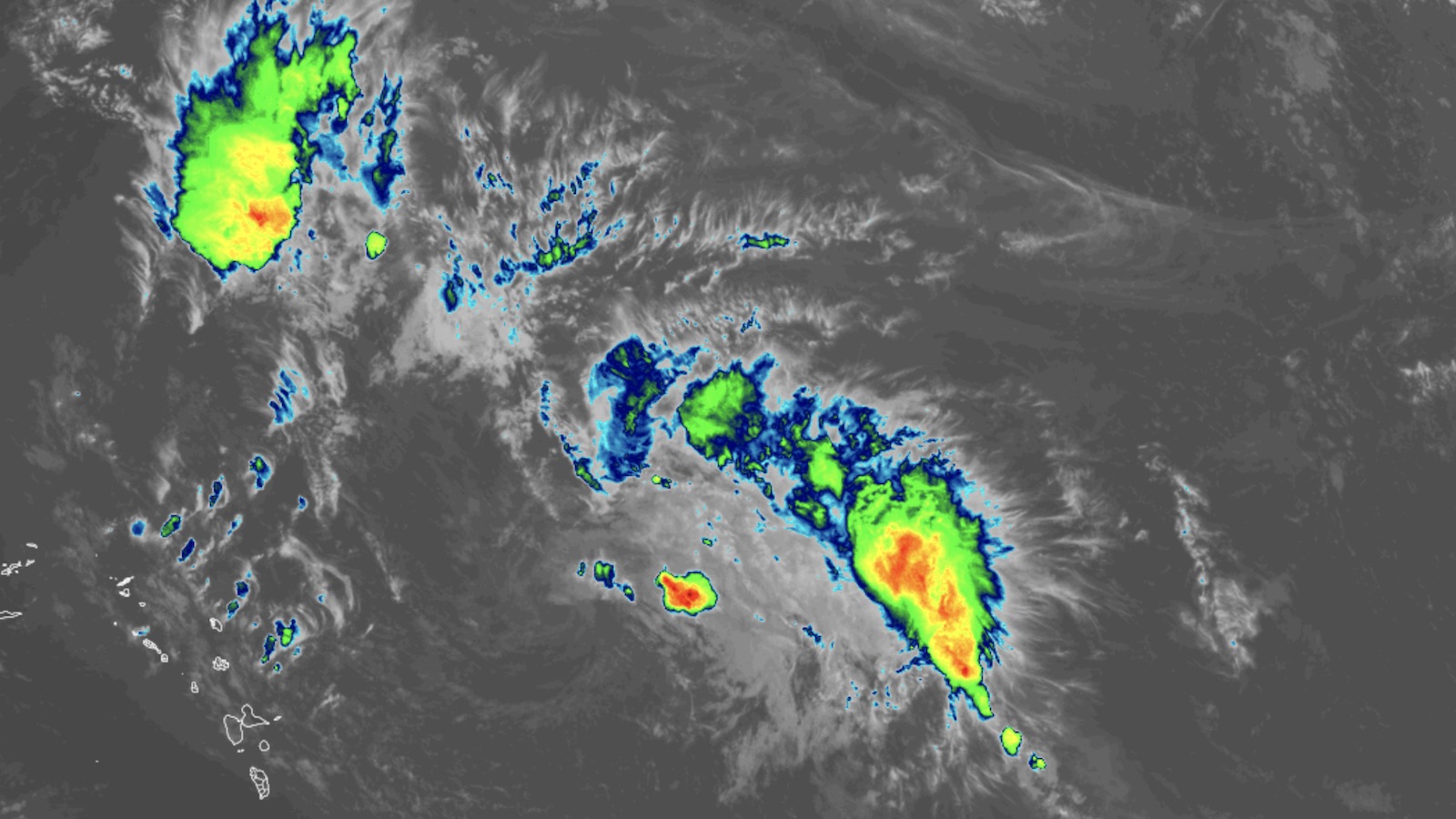
TD 17 likely to become Atlantic’s next named storm
Tropical Depression 17 formed on Sunday morning in the far eastern tropical Atlantic. As of 11 a.m. EDT, TD 17 was about 300 miles west-southwest of the Cabo Verde Islands, moving north-northwest at 14 mph. Top sustained winds were 35 mph.
With wind shear light to moderate (5-10 knots) and sea surface temperatures warm (around 28 degrees C or 82°F), TD 17 may intensify into Tropical Storm Rose as soon as Sunday evening. The window for any development of 97L likely will close by midweek, as the system heads northwest and encounters cooler SSTs, higher wind shear, and a steadily drier atmosphere.
Two other systems to watch
On the heels of TD 17, another wave emerging off the African coast late Sunday could develop later in the week. This wave will move into the tropical Atlantic at a lower latitude than TD 17, potentially giving it a better chance of approaching the Caribbean in a few days. In its tropical weather outlook issued at 2 p.m. EDT Sunday, the National Hurricane Center gave this system a 40% chance of development into at least a tropical depression between Tuesday and Friday.
Meanwhile, the remnants of Tropical Storm Odette, which was declared post-tropical south of Nova Scotia on Saturday evening, could regroup later this week as a tropical or subtropical cyclone as they arc southward atop warmer waters. NHC gave 30% odds of such redevelopment between Tuesday and Friday.
Heading into uncharted territory on this year’s list of Atlantic names
According to Phil Klotzbach of Colorado State University, since accurate satellite records began in 1966k, only two other seasons have had as many as 16 named storms by September 19: 2020 and 2005. So far in 2021, the Atlantic has had 16 named storms, six hurricanes, and three major hurricanes. The 1991-2020 averages were 14.4 named storms, 7.2 hurricanes, and 3.2 major hurricanes, so by several metrics, 2021 already has had a full season of activity – and there’s over 40% of the season to go! This makes it likely that we will run through the full list of 21 names for the second year in a row.
The names remaining in 2021 are Rose, Sam, Teresa, Victor, and Wanda, none of them ever used in Atlantic tropical history. In fact, among the six rotating lists used every six years in the Atlantic since 1979, this year’s list is the only one that has never made it to the “R” storm.
Assuming the year stays active, the 22nd named storm of 2021 would be Adria, as the season cycles through a new alphabetical list of 21 supplemental names adopted earlier this year by the World Meteorological Organization. (Naming storms after Greek letters has been permanently discontinued.)
Website visitors can comment on “Eye on the Storm” posts. Please read our Comments Policy prior to posting. Comments are generally open for 30 days from date posted. Sign up to receive email announcements of new postings here. Twitter: @DrJeffMasters and @bhensonweather
Source link