|
|
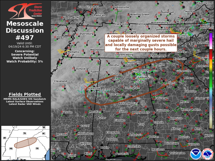
| Mesoscale Discussion 497 | |
| < Previous MD | |
|
|
Mesoscale Discussion 0497 NWS Storm Prediction Center Norman OK 1158 PM CDT Sat Apr 19 2025 Areas affected...portions of southwestern Texas Concerning...Tornado Watch 151... Valid 200458Z - 200630Z The severe weather threat for Tornado Watch 151 continues. SUMMARY...The severe threat continues across Tornado Watch 151. QLCS tornadoes are possible, and a swath of severe winds is also possible. A few gusts could exceed 75 mph. DISCUSSION...A progressive linear segment, embedded within a broader persistent elongated convective system (PECS), continues to rapidly track eastward toward a moderately unstable airmass (characterized by 2500+ J/kg MLCAPE). This segment is showing both QLCS circulations, and bowing segments with a pronounced rear-inflow jet (evident via cross-sectional analysis of KSJT radar data). In addition to favorable buoyancy, stronger mid-level flow (and associated 60+ kt deep-layer shear vectors) are oriented slightly more orthogonal to the line segment compared to northern parts of the PECS. As this segment progresses into the 45-55 kt low-level jet, bowing segments and mesovortices should persist with both a tornado and severe gust threat. Some of the latest runs of Warn-on-Forecast output suggest that a focused severe wind swath may occur with this segment, and a couple of 75+ mph gusts cannot be ruled out. ..Squitieri.. 04/20/2025 ...Please see www.spc.noaa.gov for graphic product... ATTN...WFO...EWX...SJT... LAT...LON 30540105 31280075 31630008 31539911 31119870 30529898 30239970 30290053 30540105 MOST PROBABLE PEAK TORNADO INTENSITY...85-115 MPH MOST PROBABLE PEAK WIND GUST...65-80 MPH MOST PROBABLE PEAK HAIL SIZE...1.00-1.75 IN |
|
|
Top/All Mesoscale Discussions/Forecast Products/Home |
|
Source link