Winter has gotten off to an unseasonably warm and unnervingly dry start across most of the contiguous U.S., after one of the three warmest autumns on record. Long-term warming and La Niña appear to be co-conspirators in the situation.
Over just the first week of December, more than 3,000 daily record highs were set across the nation, compared to a scant 11 daily record lows. Another round of exceptionally mild weather is expected to emerge in the second week of December, perhaps extending beyond that.
All told, the month could easily end up among the nation’s least-wintry Decembers on record, with frigid air largely bottled up in Alaska and western Canada.
During meteorological autumn (September-November), every state in the contiguous U.S. except for Alabama, Georgia, and South Carolina was significantly warmer than average, according to a NOAA/NCEI report issued on December 8.
What’s most noteworthy is the sheer breadth of the mildness. While no single state had its warmest autumn on record, 32 out of 48 states – representing the great bulk of the contiguous U.S. – made it into their top-10 warmest.
Averaged across the contiguous states, only 2016 and 2015 were milder.


It was a near-average autumn for precipitation for the contiguous U.S. as a whole, but that masks some profound regional differences. Factors ranging from tropical cyclones (Hurricane Ida) to powerful atmospheric rivers (Pacific Northwest) made it a top-ten-wettest autumn for New York and Washington, and South Dakota had a top-10 wettest autumn as well.
Yet most of the contiguous U.S. had either below- or near-average precipitation this past autumn.


Drought digs in its heels
November didn’t help matters on the drought front. Nationally, it was the seventh warmest and eighth driest November on record. Almost every state from the Rockies westward had a top-10 warmest month, and it was a top-10 driest month in 15 states stretching from Nevada to New Jersey. All but eight of the contiguous states were significantly drier than average.
As human-caused climate change boosts the odds of unusual warmth, it’s also making drought worse, by allowing more moisture to evaporate from already-parched soils.
La Niña is a potent drought-maker in the United States, often associated with unusually dry, mild winters from the Southwest across the Southern Plains. The latest monthly outlook from NOAA’s Climate Prediction Center, issued December 9, predicts the current La Niña to continue this winter, possibly strengthening into a moderate event, and to segue into neutral conditions by spring 2022.
That’ll likely be the end of La Niña for awhile. As explained in a climate.gov update, eight of the 12 first-year La Niña events in the NOAA record recurred for a second winter, which is what we’re seeing right now. However, just two of those 12 first-year events went on to become “triple dippers” (reemerging for a third winter).


An unusually strong monsoon last summer brought much-needed drought relief to the Southwest. With La Niña back in place for a second winter, though, the moisture picture is again worsening for a region that’s now in its third decade of long-term drought, one that’s already considered a megadrought by some researchers and likely being worsened by climate change.
- Lake Powell, which now holds less than 30% of full pool (capacity), hit its lowest level in November since the reservoir was built and filled in the 1960s. It’s projected to struggle just to hold its own over the next two years.
In California, the impacts from La Niña can be highly variable, but NOAA’s most recent extended outlook is giving most of California a 50-60% chance of unusually dry conditions. Given the state’s already-stressed reservoirs, the California Department of Water Resources (DWR) announced on December 1 that 2022 allocations from the State Water Project, a major source of water for state farms and residences, will be set at 0% – the first “non-allocation” year in state history.
“It is going to take a multi-pronged approach to successfully respond to these unprecedented drought conditions,” said DWR director Karla Nemeth, as reported by the California Globe. “If conditions continue to be this dry, we will see mandatory cutbacks.”
Across the Great Plains and High Plains, wintertime drought can be especially tough on the huge expanses of winter wheat grown during the cold season.


Where the water’s gone
It’s not dry everywhere in North America, of course. Large parts of the Pacific Northwest and adjacent British Columbia have been inundated with torrential rains this fall. Catastrophic floods have plagued some of the fire-scarred areas east of Vancouver that suffered in once-unthinkable record heat last summer.
At Seattle’s Sea-Tac airport, the 19.79 inches of rain measured from September 1 through December 7 is the most on record for that period.
La Niña often brings the Pacific Northwest unusually heavy winter rain and mountain snowfall, and the most recent extended outlook from NOAA indicates exactly that.
La Niña winters can also trend wet in Hawaii, and the state just got socked with a memorable storm system, the result of a cool-season low-latitude cyclone called a Kona Low. The high winds and flooding caused widespread impacts, as detailed in an NWS/Honolulu report. Rains of five to 15 inches were widespread, and multi-sensor estimates ranged beyond 20 inches on the south-facing slope of Halekala in Maui.
The 7.92 inches at Honolulu on December 6 was the city’s largest calendar-day rainfall since Hawaii became a state in 1959, topped only by 15.32 inches on March 5, 1958.
Heavy snows atop Mauna Kea and Mauna Loa during the storm got huge traction on social media, especially when juxtaposed against the dearth of snow in Colorado. Actually, it’s not that unusual for snowstorms to slam those two peaks on Hawaii’s Big Island, both of which top 13,000 feet.
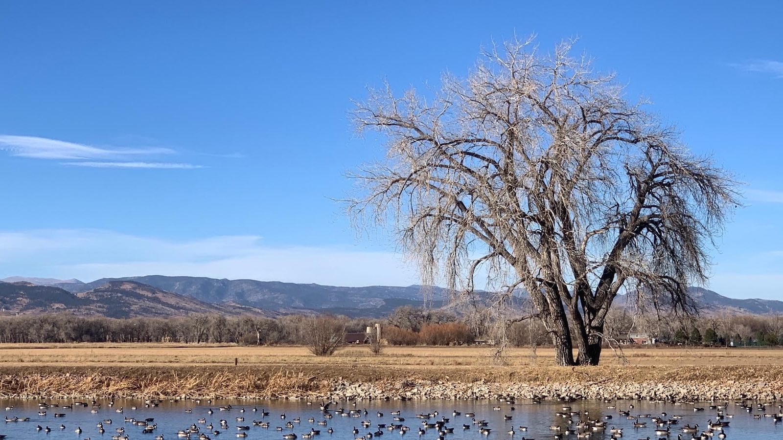
However, the snow drought in Colorado has been truly historic. If the dusting of snow predicted for Denver on December 10 doesn’t prove measurable (at least 0.1 inch), then the city could add another week or more to its ongoing record for latest measurable snow, demolishing the old mark of November 21, 1934. Snow records in Denver date back to 1882.
Jeff Masters contributed to this post.
Website visitors can comment on “Eye on the Storm” posts. Comments are generally open for 30 days from date posted. Sign up to receive email announcements of new postings here. Twitter: @DrJeffMasters and @bhensonweather
Source link