|
|
| Mesoscale Discussion 591 | |
| < Previous MD | |

|
|
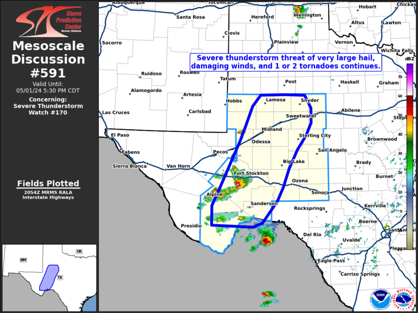
Mesoscale Discussion 0591 NWS Storm Prediction Center Norman OK 0606 PM CDT Mon Apr 28 2025 Areas affected...Southeast Minnesota...western/central Wisconsin Concerning...Tornado Watch 181... Valid 282306Z - 290030Z The severe weather threat for Tornado Watch 181 continues. SUMMARY...Organized severe thunderstorms will spread across southeast Minnesota into western/central Wisconsin later this evening. Tornado threat continues, but damaging winds may also become more common. DISCUSSION...Northeast-southwest band of thunderstorms, roughly 175 mi in length, has developed across southeast MN into northern IA. A few supercells are embedded along this corridor, but some propensity for an upward-evolving linear MCS may be under way. Latest radar trends suggest this developing MCS should track across much of southeast MN into western WI later this evening and a new tornado watch will likely be warranted downstream as this transpires. ..Darrow.. 04/28/2025 ...Please see www.spc.noaa.gov for graphic product... ATTN...WFO...GRB...DLH...ARX...MPX...DMX... LAT...LON 44649331 45748993 44788880 43529051 43089412 44649331 MOST PROBABLE PEAK TORNADO INTENSITY...120-150 MPH MOST PROBABLE PEAK WIND GUST...65-80 MPH MOST PROBABLE PEAK HAIL SIZE...1.50-2.50 IN |
|
|
Top/All Mesoscale Discussions/Forecast Products/Home |
|
Source link

