|
|
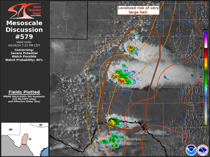
| Mesoscale Discussion 579 | |
| < Previous MD | |
|
|
   Mesoscale Discussion 0579
   NWS Storm Prediction Center Norman OK
   0517 PM CDT Sun Apr 27 2025

   Areas affected...Portions of the northern High Plains

   Concerning...Severe potential...Watch possible

   Valid 272217Z - 272345Z

   Probability of Watch Issuance...60 percent

   SUMMARY...Supercell threat is increasing across the northern High
   Plains. New WW appears warranted.

   DISCUSSION...High-level diffluent flow has overspread the northern
   High Plains early this evening. Latest diagnostic data suggests a
   weak surface wave has developed over extreme northeast WY, which
   favors continued boundary-layer moistening into southeast MT over
   the next few hours. Latest satellite imagery suggests deepening
   towers over the higher terrain in southeast Big Horn County MT.
   Robust thunderstorms should mature and spread east just north of the
   aforementioned weak wave. Forecast soundings favor supercells, and
   with increasing boundary-layer moisture into the early evening
   hours, there appears to be some risk for tornadoes as dew points
   rise into the lower 50s.

   Convection is also deepening over the Black Hills within a wind
   profile that also favors supercells. Mid 50s surface dew points may
   spread west into this region which would aid buoyancy within a
   veering wind profile.

   New watch appears warranted across this region.

   ..Darrow/Guyer.. 04/27/2025

   ...Please see www.spc.noaa.gov for graphic product...

   ATTN...WFO...UNR...BYZ...

   LAT...LON   44120359 44850434 45060587 45810547 45710323 44430220
               44120359

   MOST PROBABLE PEAK TORNADO INTENSITY...85-115 MPH
   MOST PROBABLE PEAK WIND GUST...65-80 MPH
   MOST PROBABLE PEAK HAIL SIZE...1.50-2.50 IN
|
|
|
Top/All Mesoscale Discussions/Forecast Products/Home |
|
Source link