|
|
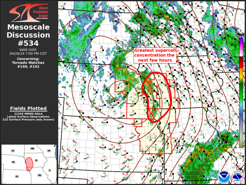
| Mesoscale Discussion 534 | |
| < Previous MD Next MD > | |
|
|
Mesoscale Discussion 0534 NWS Storm Prediction Center Norman OK 0742 PM CDT Wed Apr 23 2025 Areas affected...portions of eastern Colorado into western Kansas Concerning...Severe Thunderstorm Watch 163... Valid 240042Z - 240215Z The severe weather threat for Severe Thunderstorm Watch 163 continues. SUMMARY...The severe threat continues across Severe Thunderstorm Watch 163. Large hail remains the main threat, though severe gust could eventually become a bigger concern. DISCUSSION...Multiple supercells and multicells are progressing across eastern Colorado into western Kansas, many of which have been initiating off of outflow boundaries from earlier storms. The tendency has been storms to oscillate in intensity and produce 1-2 inch diameter stones at their peak. However, storm mergers have supported strong outflow and the potential development of an MCS structure over Kansas. With time, a severe gust threat could manifest if the cold pool becomes strong/deep enough. A discrete, sustained supercell is also progressing east across eastern Colorado, where a baroclinic boundary is fostering storm initiation and a local uptick in severe hail potential. ..Squitieri.. 04/24/2025 ...Please see www.spc.noaa.gov for graphic product... ATTN...WFO...DDC...GLD...PUB...BOU... LAT...LON 39400441 39120278 38910129 38810054 38030026 37530040 37370101 37510187 37760240 38480340 39090437 39400441 MOST PROBABLE PEAK TORNADO INTENSITY...85-115 MPH MOST PROBABLE PEAK WIND GUST...65-80 MPH MOST PROBABLE PEAK HAIL SIZE...1.50-2.50 IN |
|
|
Top/All Mesoscale Discussions/Forecast Products/Home |
|
Source link