|
|
| Mesoscale Discussion 521 | |
| < Previous MD Next MD > | |

|
|
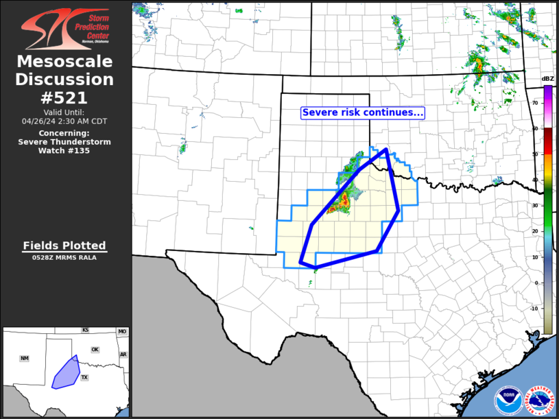
Mesoscale Discussion 0521 NWS Storm Prediction Center Norman OK 0820 PM CDT Tue Apr 22 2025 Areas affected...Northeast Kansas into northwest Missouri Concerning...Severe potential...Watch possible Valid 230120Z - 230315Z Probability of Watch Issuance...40 percent SUMMARY...A few strong/severe thunderstorms are possible this evening. Hail is the primary risk. DISCUSSION...Water-vapor imagery suggests a weak, low amplitude short-wave trough is located over the central Plains. This feature is translating east and may provide some encouragement for isolated convective development along/near a frontal zone that currently extends from south of CNK-north of STJ. 00z sounding from TOP exhibited very steep lapse rates, but notable capping was evident near 2km, and surface-based convection may struggle to develop as nocturnal cooling increases. However, large-scale ascent ahead of the short wave may cool/moist mid levels such that an elevated parcel is more likely to freely convect over the next few hours. This activity could briefly attain severe levels, but longevity/coverage may not warrant a severe thunderstorm watch. ..Darrow/Mosier.. 04/23/2025 ...Please see www.spc.noaa.gov for graphic product... ATTN...WFO...EAX...OAX...TOP...ICT... LAT...LON 39129752 40389460 40389345 39709364 38139657 39129752 MOST PROBABLE PEAK WIND GUST...55-70 MPH MOST PROBABLE PEAK HAIL SIZE...1.50-2.50 IN |
|
|
Top/All Mesoscale Discussions/Forecast Products/Home |
|
Source link

