|
|
| Mesoscale Discussion 492 | |
| < Previous MD | |

|
|
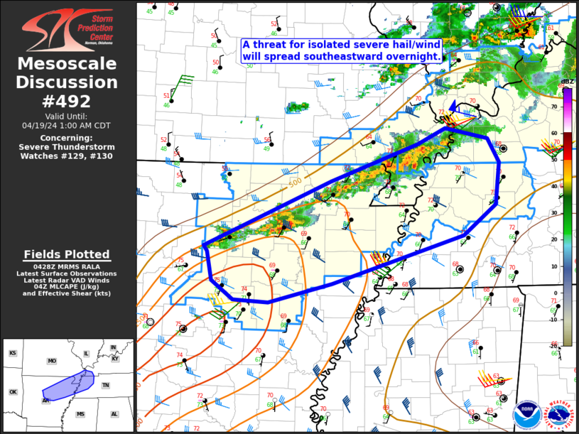
Mesoscale Discussion 0492 NWS Storm Prediction Center Norman OK 0920 PM CDT Sat Apr 19 2025 Areas affected...Edwards Plateau Region Concerning...Severe potential...Watch likely Valid 200220Z - 200315Z Probability of Watch Issuance...80 percent SUMMARY...Severe thunderstorms will continue across the Edwards Plateau region. New WW is warranted by 03z. DISCUSSION...Leading edge of strong large-scale ascent is spreading across west TX. Cold front has recently surged through Fort Stockton and convection is expected to increase along the boundary as it advances east. Stalled synoptic front is currently draped from near Stephenville-San Angelo into Upton County. VAD profile from SJT exhibits very strong ESRH along the north side of the boundary, but substantial ESRH exists across the warm sector as well. LLJ is expected to increase ahead of the short wave over the next few hours, and a marked increase in convection is expected across the Edwards Plateau as forcing overspreads this region. While the primary storm mode may become more linear in nature, there is some concern for tornadoes with supercells that currently exist, and with embedded circulations along the forced line. New watch will likely issued by 03z to account for this evolution. ..Darrow/Smith.. 04/20/2025 ...Please see www.spc.noaa.gov for graphic product... ATTN...WFO...SJT...MAF... LAT...LON 31130213 32109961 31389914 30770159 31130213 MOST PROBABLE PEAK TORNADO INTENSITY...85-115 MPH MOST PROBABLE PEAK WIND GUST...55-70 MPH MOST PROBABLE PEAK HAIL SIZE...2.00-3.50 IN |
|
|
Top/All Mesoscale Discussions/Forecast Products/Home |
|
Source link

