|
|
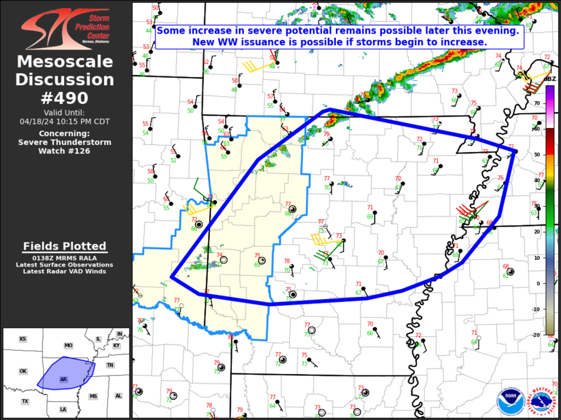
| Mesoscale Discussion 490 | |
| < Previous MD | |
|
|
Mesoscale Discussion 0490 NWS Storm Prediction Center Norman OK 0827 PM CDT Sat Apr 19 2025 Areas affected...portions of central Texas Concerning...Tornado Watch 149... Valid 200127Z - 200300Z The severe weather threat for Tornado Watch 149 continues. SUMMARY...An uptick in the tornado threat may be underway over southern portions of Tornado Watch 149. The extent of the tornado threat is dependent on further intensification of warm-sector supercells. A strong tornado is possible. DISCUSSION...Multiple small supercells have gradually organized over the past couple of hours over portions of central TX within the warm sector. KFWS NEXRAD data shows a likely low-level mesocyclone becoming established with a more dominant supercell in Erath County. These storms are intensifying amid a moist and unstable surface-based airmass, along the western periphery of an intensifying low-level jet. Given strong low-level shear in place, any further intensification with these storms may support tornado development. Some of the latest WoFs guidance also indicates the potential for increased low-level rotation with these storms over the next few hours. ..Squitieri.. 04/20/2025 ...Please see www.spc.noaa.gov for graphic product... ATTN...WFO...FWD...SJT... LAT...LON 31969884 32789838 33489790 33519729 33169701 32639725 32059780 31759811 31699848 31969884 MOST PROBABLE PEAK TORNADO INTENSITY...120-150 MPH MOST PROBABLE PEAK WIND GUST...55-70 MPH MOST PROBABLE PEAK HAIL SIZE...1.50-2.50 IN |
|
|
Top/All Mesoscale Discussions/Forecast Products/Home |
|
Source link