|
|
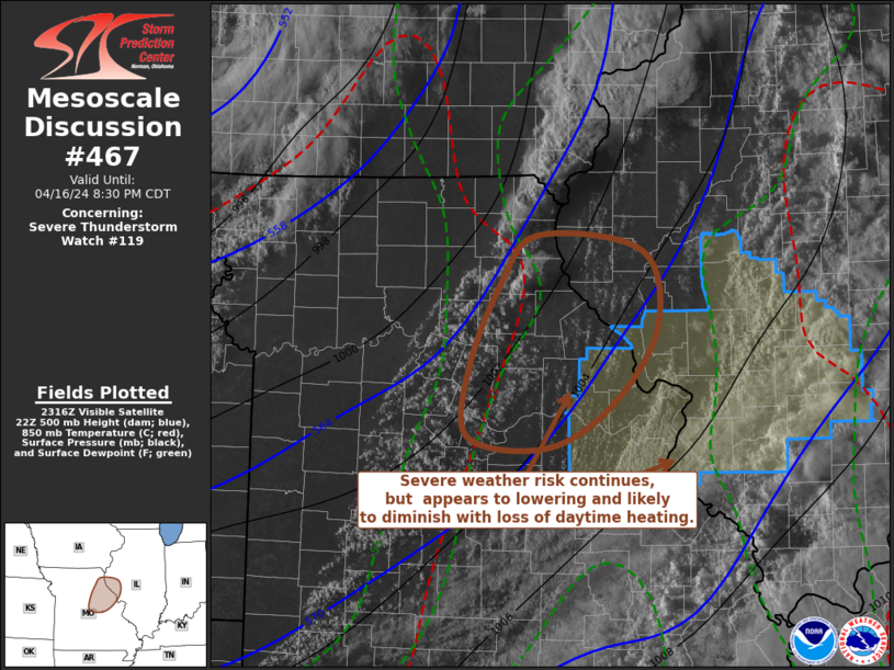
| Mesoscale Discussion 467 | |
| < Previous MD | |
|
|
Mesoscale Discussion 0467 NWS Storm Prediction Center Norman OK 0722 AM CDT Fri Apr 18 2025 Areas affected...Southern Wisconsin...Lake Michigan Concerning...Severe Thunderstorm Watch 142... Valid 181222Z - 181415Z The severe weather threat for Severe Thunderstorm Watch 142 continues. SUMMARY...A severe threat will likely continue over the next couple of hours from parts of southern Wisconsin eastward over Lake Michigan. Significant wind gusts and large hail will be possible with the strongest of cells. DISCUSSION...The latest high-resolution radar imagery from KMKX shows a cluster of strong to severe storms over southern Wisconsin, with a severe short line segment located about 40 statute miles to the west of Milwaukee, Wisconsin. The storms are located along an east-to-west gradient of instability, where the RAP is estimating MUCAPE around 1000 J/kg. RAP forecast soundings to the west of Milwaukee still have a temperature inversion from the surface to 850 mb, with strong effective shear above the inversion. This will continue to support elevated supercell development. In addition, forecast soundings have steep lapse rates in the 700 to 500 mb layer, which will aid a threat for large hail with supercells. Hailstones greater than 2 inches in diameter will be possible in the more intense cores. The stronger and faster moving line segments could also produce severe gusts, with 70+ mph gusts possible. The severe threat is expected to become more isolated later this morning. To the east of the current watch, watch issuance probably won't be needed. Trends will be monitored. ..Broyles/Gleason.. 04/18/2025 ...Please see www.spc.noaa.gov for graphic product... ATTN...WFO...GRR...LOT...MKX...ARX... LAT...LON 43328623 42978610 42648625 42508658 42488814 42558932 42619011 42769037 43059037 43369020 43578977 43598821 43528671 43328623 MOST PROBABLE PEAK WIND GUST...65-80 MPH MOST PROBABLE PEAK HAIL SIZE...2.00-3.50 IN |
|
|
Top/All Mesoscale Discussions/Forecast Products/Home |
|
Source link