|
|
| Mesoscale Discussion 463 | |
| < Previous MD | |

|
|
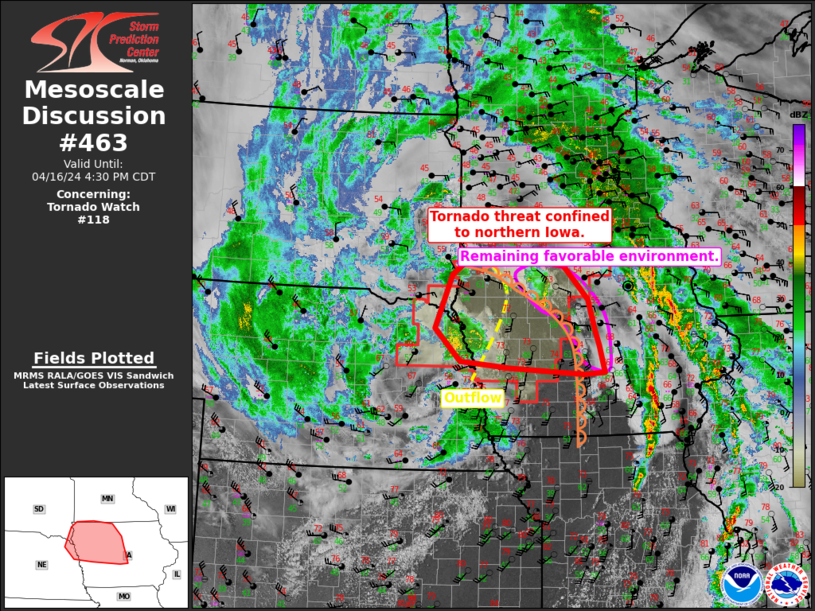
Mesoscale Discussion 0463 NWS Storm Prediction Center Norman OK 0806 PM CDT Thu Apr 17 2025 Areas affected...Northwest Iowa into south-central Minnesota Concerning...Severe Thunderstorm Watch 140... Valid 180106Z - 180230Z The severe weather threat for Severe Thunderstorm Watch 140 continues. SUMMARY...A few stronger elevated storms may produce marginally severe hail. DISCUSSION...On the eastern edge of a plume of steep mid-level lapse rates, convection has formed behind the cold front due to weak warm advection over the boundary. 40-50 kts of effective shear will promote some risk of large hail with these storms. However, limited elevated buoyancy will limit the overall threat. Though parts of north-central Iowa are still ahead of the cold front, surface cooling has already contributed to an increase in MLCIN. The potential for development along/ahead of the front would appear to be low. If storms do develop, a similar hail and isolated wind damage threat would exist prior to the front undercutting convection. ..Wendt.. 04/18/2025 ...Please see www.spc.noaa.gov for graphic product... ATTN...WFO...MPX...DMX...FSD...OAX... LAT...LON 42269651 42239689 42429702 43609613 44069510 44229467 44249410 44239352 44079339 43379446 42549583 42339629 42269651 MOST PROBABLE PEAK WIND GUST...UP TO 60 MPH MOST PROBABLE PEAK HAIL SIZE...UP TO 1.25 IN |
|
|
Top/All Mesoscale Discussions/Forecast Products/Home |
|
Source link

