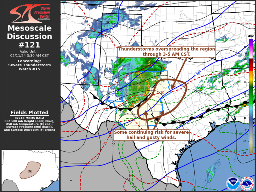
| Mesoscale Discussion 121 | |
| < Previous MD | |

|
|
   Mesoscale Discussion 0121
   NWS Storm Prediction Center Norman OK
   0524 PM CST Thu Feb 26 2026

   Areas affected...portions of central and east-central Arkansas

   Concerning...Severe potential...Watch unlikely

   Valid 262324Z - 270100Z

   Probability of Watch Issuance...5 percent

   SUMMARY...An isolated severe risk will exist across portions of
   central and east-central Arkansas over the next 1-2 hours, with
   severe hail the primary hazard.

   DISCUSSION...An isolated supercell currently entering White County
   has become better established along the cool side of a surface
   baroclinic boundary over the past 30-60 minutes with additional
   development recently noted farther south along this boundary. A
   mid-level impulse embedded within broader northwesterly flow is
   supporting modest mid-level ascent, which has aided in the
   development of 500-1000 J/kg of MUCAPE rooted around 850 mb atop a
   cooler, drier low-level air mass. Effective bulk shear of 50-60 kts
   coupled with long, straight hodographs and modestly steep mid-level
   lapse rates (around 7 C/km) will support at least some potential for
   isolated severe hail. Some uncertainty remains regarding the
   southeastward extent of this risk over the next 1-2 hours, however,
   as warming mid-level temperatures around 700 mb and increasing
   convective inhibition are likely to yield a gradual weakening trend
   with time. Given this uncertainty, WW issuance appears unlikely at
   this time, but trends will continue to be monitored.

   ..Chalmers/Lyons/Hart.. 02/26/2026

   ...Please see www.spc.noaa.gov for graphic product...

   ATTN...WFO...MEG...LZK...

   LAT...LON   34899236 35219215 35319192 35189158 34979120 34799096
               34509084 34459078 34179097 34129124 34249175 34409216
               34759234 34899236

   MOST PROBABLE PEAK WIND GUST...UP TO 60 MPH
   MOST PROBABLE PEAK HAIL SIZE...1.00-1.75 IN
|
|
|
Top/All Mesoscale Discussions/Forecast Products/Home |
|
Source link


