Headlines
- Invest 94L just north of the Caribbean islands is going to fall prey to epic amounts of wind shear in the southwest Atlantic this weekend, ending any low-risk development potential.
- Invest 95L has a very narrow window through Saturday morning to organize before moving across land in Central America as a rainmaker.
- The tropics look fairly quiet heading into next week.
Thanks to Eric for covering me this week while I underwent oral surgery for orthodontia. I’ll just say it’s about as glamorous as it sounds. Thanks to Methodist Hospital here in Houston for a good procedure and great quality care afterwards.
Let’s take a dip into the tropics.
Invest 94L’s last gasp
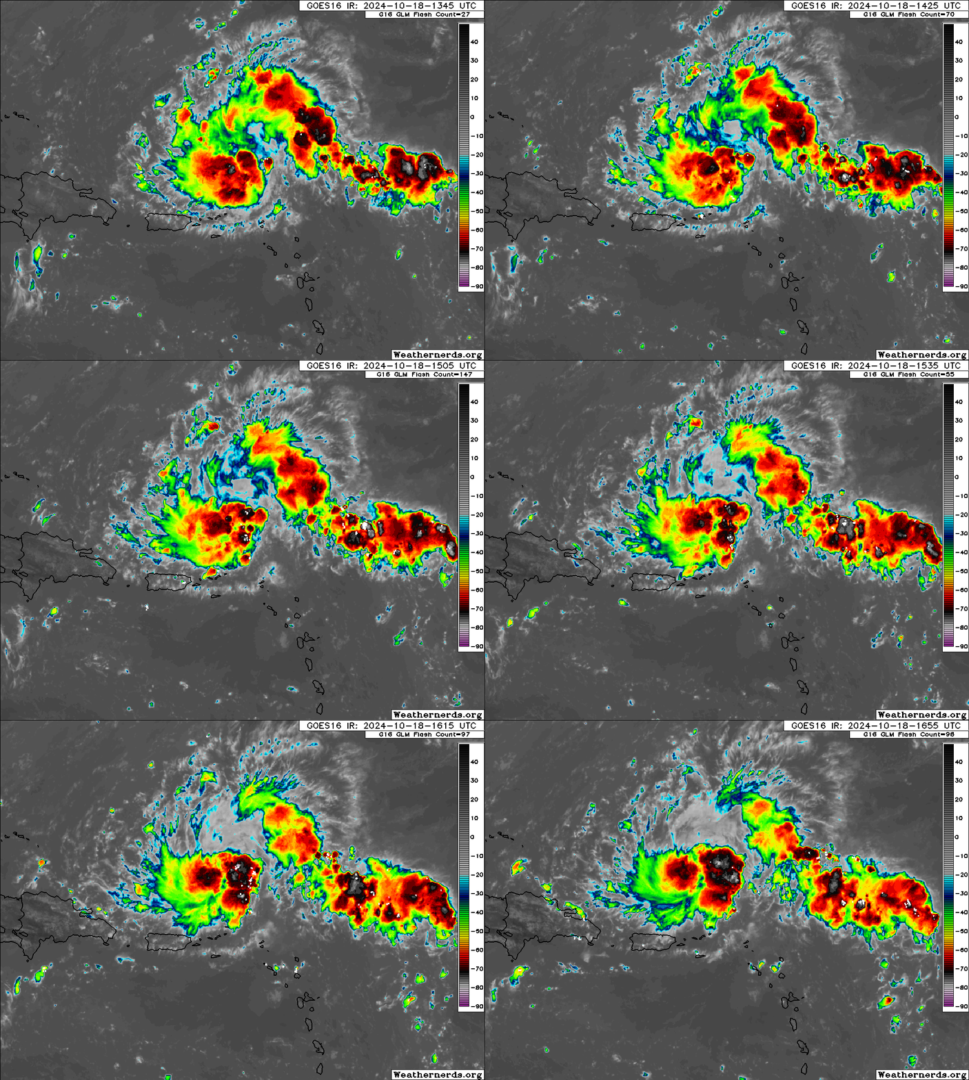
What is left of Invest 94L is moving just north of the Lesser Antilles and Puerto Rico today. This is a rather robust area of thunderstorms, but it lacks any organization.

Over the next couple days, 94L will continue westward over the next 24 hours or so before it’s completely enveloped by significant wind shear that has overtaken the Gulf of Mexico and southwest Atlantic. Wind shear is as high as 90 knots right now across Florida, which is completely inhospitable for tropical development and some of the strongest shear I’ve seen here this time of year. So, thanks for the memories, Invest 94L and we wish you well.
Invest 95L to dump rain on Central America
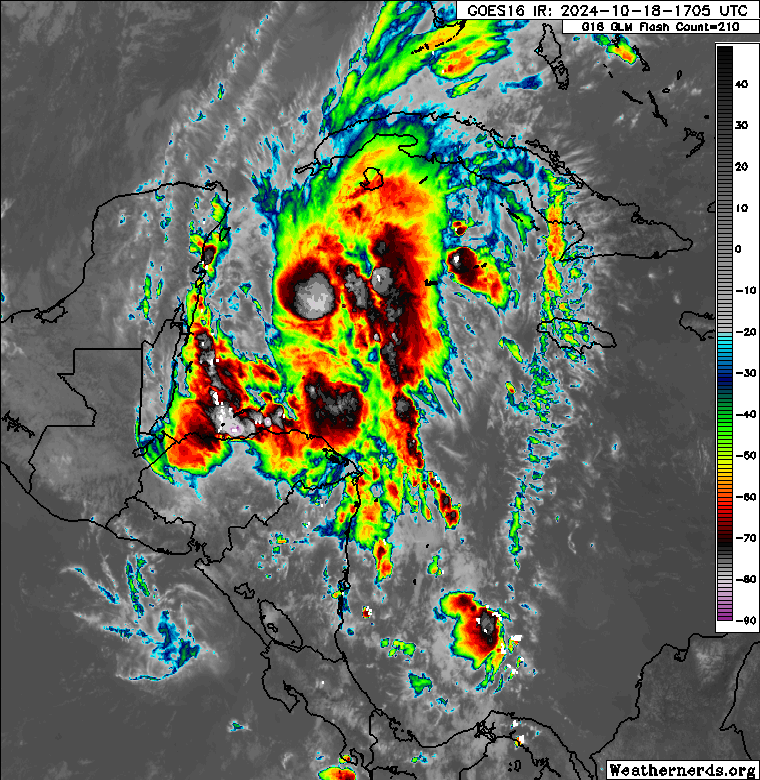
Meanwhile, Invest 95L is in a bit of a different situation. This disturbance is located off the coasts of Belize and Honduras this afternoon. It is also showing robust thunderstorm activity.

This one has a much less hostile environment to develop in than Invest 94L to the north does. However, it has a key limiting factor: Time. Invest 95L has about 24 hours or less left over water before it moves inland across Belize and Central America. In that time, it could become a tropical depression or low-end tropical storm, but no further development would be expected. Still, heavy rainfall is likely in Central America this weekend from Invest 95L that could cause some flooding issues. There is a chance that the remnants of 95L merge with another Pacific disturbance to form a storm next week that rides westward away from Mexico. But beyond this weekend’s rainfall, 95L is not a threat to land.
Beyond the Invests
At this point, there is nothing to speak of in the tropics once 94L and 95L exit the picture. That’ll give us a few more days of rest here. There are signs that the tropics could get active again heading into November, but it’s important to note that as the Northern Hemisphere pattern begins to shift toward winter, the typical behaviors of tropical systems don’t always continue. We’ll touch more on this next week.
In the meantime, have a good weekend, and don’t forget to check out our Sponsors page above. Thank you to them for their support of The Eyewall this hurricane season!
Source link


