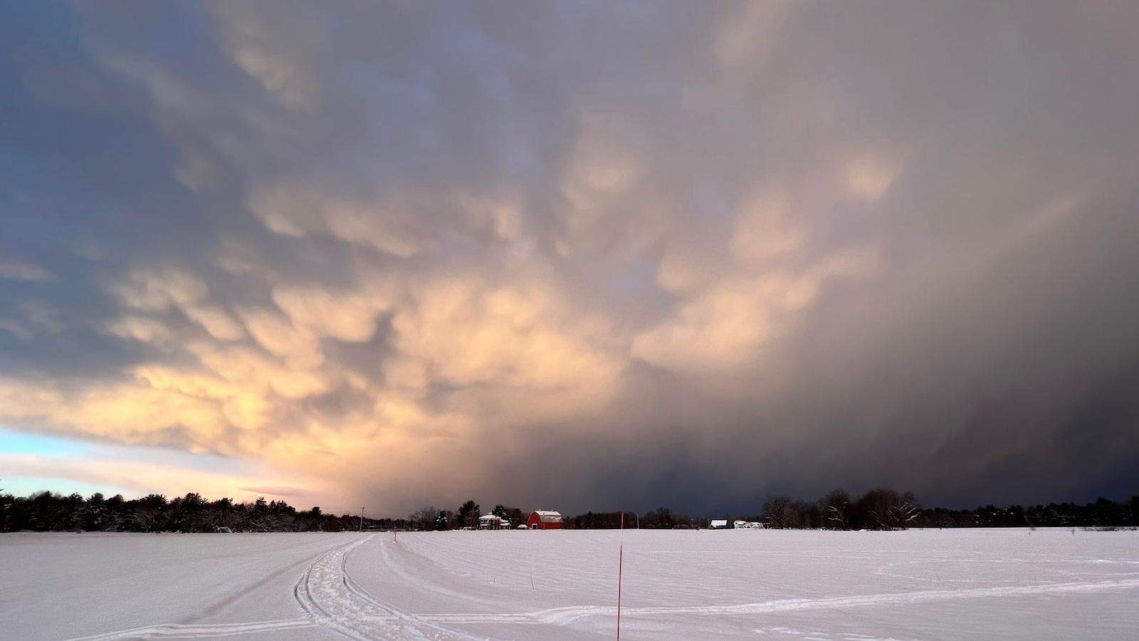
One of upstate New York’s most intense and prolonged lake-effect snows on record – accompanied by frequent lightning and snowfall rates of as much as seven inches per hour – began to ease on Sunday for hard-hit areas near Buffalo, even as intense snow bands continued to hammer areas well to the east into Sunday night.
Conditions should turn milder and drier as Thanksgiving week progresses, giving residents a chance to dig out and catch their collective breath. At least two deaths were reported from the storm.
Social media outlets were buried over the weekend in an avalanche of head-snapping snow images and gob-smacking statistics. Some all-time local and state snow records may have fallen, although there are measurement challenges in the mix that’ll first have to be clarified.
Buffalo’s calendar-day snowfall total of 21.5 inches on Saturday, November 19 – measured at the city’s official observing site, Buffalo Niagara International Airport – ranks as the city’s second highest in November history, behind 24.9 inches on Nov. 20, 2000. In data stretching back to 1884, only four other calendar days have racked up higher snow totals in Buffalo than Saturday did. The all-time record is 33.9 inches on Dec. 10, 1995.
As for the entire storm, the three-day total in Buffalo (Thursday-Saturday Nov. 17-19) was 36.6 inches. That comes in at #8 on the Buffalo list of most three-calendar-day snowfalls, and the second biggest ever recorded in November, behind 38.9 inches on Nov. 18-20, 2000.
Some locations just east and south of Buffalo experienced far higher storm totals, topped by a phenomenal 80 inches in Orchard Park (home to the Buffalo Bills football team) that reportedly included 66 inches in a 24-hour period. If confirmed, this total would break New York’s 24-hour state record of 50 inches, set at Camden in late January 1966.
The perils of enthusiastic snow measurement
Snow is an ever-changing substance. Once it falls, it can undergo compaction and other structural change within hours. That’s why a snow-depth reading after 24 hours is usually lower than the sum of more frequent measurements over the same period – and conversely, why adding short-term readings to get a 24-hour total or storm total can yield a number that’s unrealistically high.
Snow measurement guidelines issued in 2013 for NWS surface observers, both volunteers and employees, include the following:
“Never add more than four 6-hourly observations to determine your 24-hour snowfall total. If you add more than four observations it could inaccurately inflate the snowfall total. Because it is not possible for most observers to take snowfall measurements every hour, this standard practice of providing six hours between snowfall measurements during a snow event ensures a standard length of time for snow to settle between measurements and helps ensure consistency and uniformity among stations.”
If any of the spectacular readings above from the lake-effect onslaught become candidates for all-time records, the tempo of snow measurement will be one of the factors examined to see if the observation qualifies as a record.
Here’s a classic example: in January 1997, a massive lake-effect storm appeared to drop 77 inches in 24 hours on Montague, New York. That would have been a world record for 24-hour snowfall—and in fact, it was briefly promoted as such. However, an NWS review committee found that the observer had taken six measurements in 24 hours, including five within 12 hours.
Though the observer was “knowledgeable and competent” and “the measurement site was excellent,” the readings were “taken at intervals too frequent to allow summing to produce a standard 24-hour climatic snowfall total,” the committee concluded.
It’ll be fascinating to see which of this new storm’s grand totals, if any, make the climate grade!
What made this past week’s event so noteworthy
In classic lake-effect fashion, relentless westerly surface winds blew along the lengths of Lakes Erie and Ontario for several days under a slow-moving upper-level storm and south of a Canadian surface low. In such a setup, the difference in friction between lake and land surface causes moist air to converge into bands, running roughly parallel to each lake and flowing like a fire hose toward each lake’s eastern end, where the heaviest snow is focused.
One factor that helped push this event into memorable territory was the unseasonable late-autumn warmth of the lakes. As the snow kicked off on Wednesday, November 16, the unofficial water temperature 30 feet below the surface of Lake Erie at the Buffalo Water Treatment Plant was 52 degrees Fahrenheit, several degrees above average. (In readings going back to 1927, only three years have had warmer water on Nov. 16.)
As the west-southwest winds pushed seasonably cold air atop the unusually mild November water, an unstable atmosphere developed. The convergence along the snowbands also helped fuel the bands by forcing the unstable air upward.
Not only were the ingredients especially favorable for lake-effect snow, but the persistent weather pattern kept the lake-effect machine going for a long time. Some locations in the Buffalo area had more than 100 hours of snowfall from Wednesday evening into Sunday night, making this an unusually prolonged lake-effect event, as noted by the National Weather Service office in Buffalo.
Climate change and lake-effect snow
As human-produced greenhouse gases warm the climate, it’s reasonable to expect that U.S. snowfall in general will decline. Unusually warm lake temperatures in autumn and early winter can certainly boost the intensity of a particular lake-effect snow event, provided that sufficiently cold air passes overhead and other factors are in place.
At the same time, warming air temperatures over the long term can be expected to eventually shrink the seasonal window that’s cold enough to support lake-effect snow.
A 2015 study in the Journal of Climate that used dynamic downscaling of global climate models for a high-end climate change scenario (RCP 8.5) found that lake-effect precipitation should generally increase over time, while trending away from snow and toward rain.
“Lake effect snow will still occur in a warming world, but by the late 21st century, we can expect a shortened lake effect snow season,” concluded an analysis by Climate Central. “Rather than peaking in fall and early winter, heavy lake effect snow would be pushed back later in the season, generally from January through March.”
Perfect weather for a lake-effect study
Researchers based at the State University of New York in Oswego had their hands full over the weekend, as they gathered data from lightning sensors and the Doppler on Wheels mobile radar to assess how lightning evolves in lake-effect snowstorms – including its apparent triggering by a nearby wind farm.
With support from the National Science Foundation, Project LEE (Lake-Effect Electrification) will continue through the winter months. For more on the project, see the news release from SUNY Oswego and the project’s Twitter feed (@nsf_lee), as well as the article by the author of this post at the Washington Post’s Capital Weather Gang.
Jeff Masters contributed to this post. Website visitors can comment on “Eye on the Storm” posts (see comments policy below). Sign up to receive notices of new postings here.
Source link