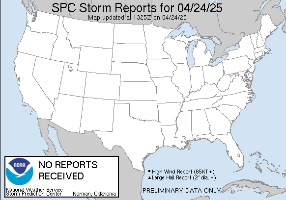
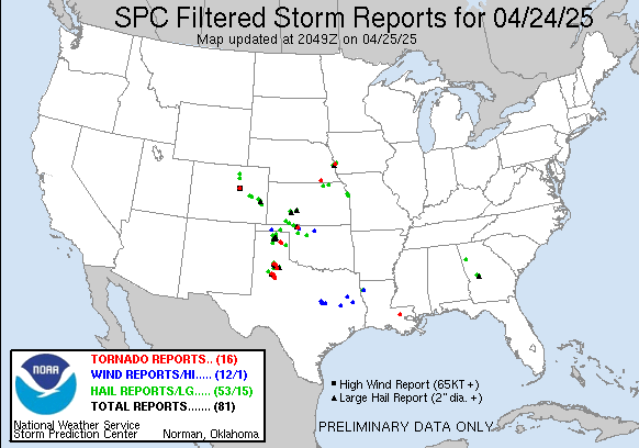
United States Storm Reports Interactive Map Today
The Preliminary Storm Report or LSR is a NWS text product that relays information, normally received from external sources (e.g. weather spotters, local officials, media, public, etc.), about a specific weather event (hail `{`size`}`, wind gust or damage, tornado, various wintry precipitation types and amounts, rainfall amounts, etc.) The Storm Reports page is organized based on reports received from 1200 UTC to 1159 UTC the next day. Data is updated every 10 minutes.
Click on storm report inside map for detailed data.
Scroll down for storm reports from yesterday.
T = Tornado | W = Wind | H = Hail

If the storm reports text data fields are blank or missing information below, there are no storm reports for today.
Tornado Reports Today
| Time | F_Scale | Location | County | State | Lat | Lon | Comments |
|---|
Hail Reports Today
Hail sizes are measured in 1/100 of an inch (175 = 1.75``)
| Time | Size | Location | County | State | Lat | Lon | Comments |
|---|
Wind Reports Today
Wind speed gusts are measured in MPH
| Time | Speed | Location | County | State | Lat | Lon | Comments |
|---|---|---|---|---|---|---|---|
| 1353 | UNK | 3 N Alexander City | Tallapoosa | AL | 32.99 | -85.95 | Power lines reported down along Dobbs Road just south of North Central Avenue Intersection. Time estimated by radar. (BMX) |
| 1354 | UNK | 3 NNE Alexander City | Tallapoosa | AL | 32.97 | -85.93 | Report of trees down along Dobbs Road and Greenleaf Street near Alexander City. Time estimated by radar. (BMX) |
| 1411 | UNK | 1 NNW Eagle Creek | Tallapoosa | AL | 32.96 | -85.76 | Trees reported down along Horseshoe Bend Road in the Tohopeka Community. Time estimated by radar. (BMX) |
United States Storm Reports Interactive Map Yesterday
T = Tornado | W = Wind | H = Hail

Tornado Reports Yesterday
| Time | F_Scale | Location | County | State | Lat | Lon | Comments |
|---|
Hail Reports Yesterday
Hail sizes are measured in 1/100 of an inch (175 = 1.75``)
| Time | Size | Location | County | State | Lat | Lon | Comments |
|---|
Wind Reports Yesterday
Wind speed gusts are measured in MPH
| Time | Speed | Location | County | State | Lat | Lon | Comments |
|---|
This data is courtesy of the NWS Storm Prediction Center

