The nation’s third warmest February on record secured a place for winter 2023-24 as the warmest in U.S. records going back to 1895, according to the monthly climate update issued by NOAA on March 8.
Using the climatological definition of the season — December through February — winter 2023-24 averaged 37.6°F for the 48 contiguous U.S. states, soaring 0.82°F above the previous record from winter 2015-16. This stands as the biggest margin from one year to the next-warmest year across the entire 129-year database of winter temperatures. As in 2015-16, this winter’s U.S. warmth was boosted by a strong El Niño event.

Each of the four seasons has now seen record U.S. warmth since 2010, including spring 2012, summer 2021 (tying 1936), and autumn 2016.
Winter 2023-24 was the warmest on record for eight states stretching across the nation’s northern tier, from North Dakota to New Hampshire. A phenomenal three-quarters of the 48 contiguous states had a top-10-warmest winter (see Figure 2).

Winter as a whole would have been even more record-smashingly mild had it not been for a sharp few days of cold and widespread snow in mid-to-late January. That month only came in as the nation’s 48th-warmest January, but December’s record warmth and February’s third-place finish pushed the season as a whole to the top of the heat rankings.
The winter-scale warmth was especially striking in the Upper Midwest. Among the record-melting stats pulled together for Minneapolis-St. Paul by meteorologist Tony D (@WX_TD):
- 18 days reached at least 50°F (old record: eight days in 1980-81)
- only 23 days dipped to or below 20°F (old record: 34 days in 1877-78)

As for February, every contiguous U.S. state came in much milder than average. It was the warmest February on record for four states — Iowa, Minnesota, Missouri, and Wisconsin —and a top-10 warmest for 24 states in all across most of the Plains, Midwest, and Northeast, from Texas to North Dakota to Maine.
Unlike January, there was no nationwide cold blast to interrupt February’s mildness in any major way. In fact, data compiled by independent meteorologist Guy Walton show that the nation set or tied just 45 daily record lows in February, compared to 2,908 record highs.

Lots of rain, not much snow – and a mammoth fire in Texas
Winter 2023-24 was the 31st-wettest for the contiguous U.S. in 129 years of record-keeping. If this had been a chilly winter more typical of last century, all that precipitation might have translated into blankets of snow cover. Instead, this winter’s moisture fell largely as rain. On a number of days this winter, snow extent across the 48 contiguous states dipped into record-low territory for the date in satellite data extending back to 2003, including during the run-up to the year-end holidays.
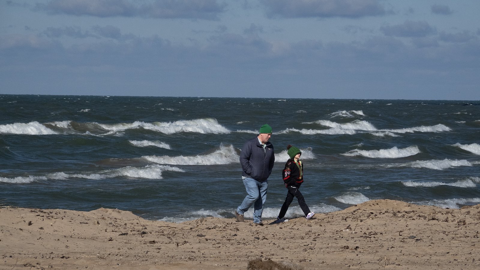
Ice cover extent across the Great Lakes plunged to record-low values in midwinter, as discussed by Jeff Masters in a February 16 post. On average, Great Lakes ice extent peaks in early March, with close to 40% coverage typical (see Figure 5). As of March 7, a mere 2.2% of the lake surface was ice-covered, the lowest extent for the date in 51 years of record-keeping.

The major urban areas of the mid-Atlantic and Northeast did see a couple of noteworthy snows in January and February, as several cities notched their first calendar day with an inch of snow in more than two years. However, several other potentially big snowstorms missed the mark. In February, one major system dumped record February rains in Colorado, and another produced an intense but narrow snow streak from Pennsylvania into the New York City area.
Read: What’s behind this winter’s U.S. snow drought?

Averaged nationwide, February precipitation came in as the 40th-lowest among 130 years of record-keeping. It was a top-10 driest February for 12 states from the Midwest to the Northeast, including New York and every New England state. A major snowstorm socked California’s Sierra Nevada just as February was segueing into March.
Largely in line with El Niño expectations, winter precipitation was lower than average over much of the Northwest and higher than average across the Southwest. With a rapid transition to La Niña now looking increasingly likely by midyear, the odds of drought across the nation’s Sunbelt will once again be rising. So the last two consecutive years of generous moisture and snowpack across California and the Southwest will serve as crucial buffers for water supply – although the risk of wildfire will jump as soon as the landscape dries out.

The Texas Panhandle shared in the El Niño moisture, recording one of its wettest winters on record. However, the grasslands of Texas can dry out quickly in late winter. In the last days of February, fierce winds and record-warm temperatures ended up stoking what appears to be the largest fire in modern U.S. history outside of Alaska.
Growing to 500,000 acres in its first day alone (February 26-27), the Smokehouse Creek Fire tore from just north of Amarillo eastward into extreme western Oklahoma. The blaze had scorched 1,058,570 acres as of March 8, putting it ahead of the August Complex, California’s largest wildfire on record (1,032,648 acres). At least two people were killed by the Smokehouse Creek Fire and at least 130 structures have destroyed.
Jeff Masters contributed to this post.
We help millions of people understand climate change and what to do about it. Help us reach even more people like you.
Source link


