More than 150 structures, including homes, were destroyed in a New Mexico wildfire whipped up by fierce winds on Tuesday. The McBride Fire, which erupted in the mountain resort town of Riudoso (pop. 8,000), about 80 miles west of Roswell, remained fully uncontained as of 9 a.m. MDT Wednesday after scorching 4132 acres.
“Air tactical support was not able to fly on Tuesday due to extreme 60+ mph winds,” authorities from the Lincoln National Forest said in an InciWeb report on Wednesday morning. Firefighters were nervously watching for the potential for winds to increase again on Wednesday afternoon, perhaps gusting to 30 mph with relative humidity below 10%, before subsiding overnight.
The NOAA/NWS Storm Prediction Center placed areas from eastern New Mexico into western Texas in a “critical” fire weather zone, the second highest rating, for Wednesday. Relative humidity may dip as low as 2%, SPC reported.
Concern increased that top-end “extremely critical” conditions might develop on Wednesday afternoon in southeast NM and/or adjacent far-west TX.
Great Plains severe weather outbreak shifts east
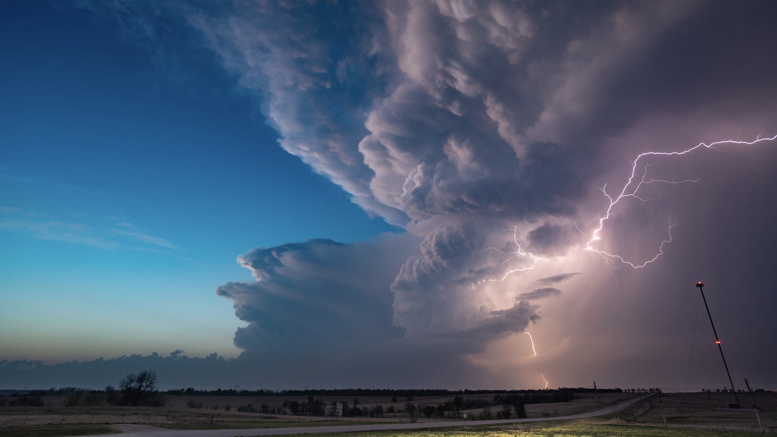
A full-latitude upper-level trough of low pressure spawned large hail, high winds, and a few tornadoes on Wednesday across a lengthy corridor from central Texas to southeast Minnesota. Most of the action focused on the two ends of the active zone.
At least 23 injuries were reported from a tornado near Salado, Texas, in Bell County north of Austin.
The tornado-producing supercell also spit out what was apparently a 5.5-inch-diameter hailstone. The largest hailstone on record in Texas is 6.416 inches, confirmed near Hondo on April 28, 2021.
In Iowa, five tornadoes were reported, including a highly photogenic twister near Gilmore City. No serious injuries or major damage were reported in Iowa.
Another day of widespread severe weather was on tap for Wednesday as the north-south frontal zone and storm corridor shifts east. SPC placed the center of the corridor under a moderate risk of severe weather (the second highest of its five risk categories). The most confident prognosis is that a broad zone of damaging winds, potentially gusting to 75 mph or higher, as a squall line develops and marches across the Mid-Mississippi Valley. Brief but dangerous tornadoes may be embedded in this line.
A potentially volatile situation was setting up toward the southern end of this zone, as the rain-cooled remnants of a departing storm complex could leave boundaries that could serve as focal points for intense supercells ahead of the main storm corridor. If the air mass recovers enough for supercells to develop, there is a chance for one or more strong, long-track tornadoes, warned NOAA/NWS/SPC. The area of most concern straddled the Mississippi River from eastern Arkansas and northwest Mississippi to far western Tennessee and Kentucky and the bootheel of far southeast Missouri.
The severe weather threat is expected to diminish considerably by Thursday as the upper low pulls into Canada with a weakening cold front continuing eastward. With moisture largely lacking and cool weather predominating for a few days after that, the next substantial threat of severe weather may not occur until at least the middle of next week.
Jeff Masters contributed to this post.
Website visitors can comment on “Eye on the Storm” posts. Comments are generally open for 30 days from date posted. Sign up to receive email announcements of new postings here. Twitter: @DrJeffMasters and @bhensonweather
Source link


