|
|
| Mesoscale Discussion 556 | |
| < Previous MD | |

|
|
   Mesoscale Discussion 0556
   NWS Storm Prediction Center Norman OK
   0906 AM CDT Fri Apr 25 2025

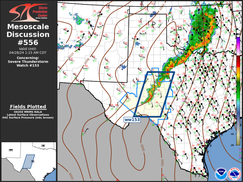
   Areas affected...parts of southern MS and eastern LA

   Concerning...Severe potential...Watch unlikely

   Valid 251406Z - 251530Z

   Probability of Watch Issuance...5 percent

   SUMMARY...A localized, marginal severe hail/wind threat may develop
   through late morning into midday along/east of a portion of the
   Lower Mississippi Valley.

   DISCUSSION...On the southern extent of a broad, generally broken
   convective plume from the Lower MS to Lower OH Valleys, a few deeper
   updrafts have persisted. 12Z observed soundings in this region
   sampled rich low-level moisture with moist-adiabatic lapse rates
   throughout the troposphere. Still, with 20-30 kt effective bulk
   shear, transient/weak mid-level updraft rotation remains possible
   with semi-discrete storms on the tail-end of the convective plume.
   With more robust insolation across southern LA, MLCAPE should
   gradually build ahead of these storms as they slowly move
   east-southeast through midday. Small to marginally severe hail is
   probably the main morning hazard, with strong gusts from wet
   microbursts possible as well. Longevity of this activity into the
   afternoon is uncertain given its development on the immediate
   backside of the weak mid-level impulse that may outpace the
   convection as it moves east into AL.

   ..Grams/Smith.. 04/25/2025

   ...Please see www.spc.noaa.gov for graphic product...

   ATTN...WFO...JAN...LIX...LCH...

   LAT...LON   31959149 31979080 31858992 31578924 31078940 30758977
               30669094 30759190 31049209 31409193 31959149

   MOST PROBABLE PEAK WIND GUST...UP TO 60 MPH
   MOST PROBABLE PEAK HAIL SIZE...UP TO 1.25 IN
|
|
|
Top/All Mesoscale Discussions/Forecast Products/Home |
|
Source link

