|
|
| Mesoscale Discussion 509 | |
| < Previous MD | |

|
|
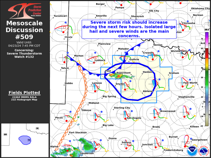
Mesoscale Discussion 0509 NWS Storm Prediction Center Norman OK 0954 PM CDT Sun Apr 20 2025 Areas affected...portions of northern Illinois Concerning...Tornado Watch 157... Valid 210254Z - 210430Z The severe weather threat for Tornado Watch 157 continues. SUMMARY...The severe threat continues across Tornado Watch 157. A couple of severe gusts are the main concern, though a tornado cannot be ruled out. DISCUSSION...A primary band of convection persists amid very strong forcing accompanying an approaching surface low and upper-level jet streak. Despite scant buoyancy, the latest LOT VAD shows a hodograph with impressive size and curvature, indicating strong low-level wind shear, driven by very strong flow just above the surface. While decreasing lightning trends suggest that storms are weakening, the intense low-level flow/shear suggests that damaging gusts may still occur wherever downward momentum transport may occur. A tornado also remains possible if a rotating updraft can ingest any remaining surface-based buoyancy. ..Squitieri.. 04/21/2025 ...Please see www.spc.noaa.gov for graphic product... ATTN...WFO...LOT...ILX...DVN... LAT...LON 40568839 40928885 41308911 41708931 41948922 41998888 41828838 41428803 40988774 40608769 40498805 40568839 MOST PROBABLE PEAK TORNADO INTENSITY...UP TO 95 MPH MOST PROBABLE PEAK WIND GUST...65-80 MPH MOST PROBABLE PEAK HAIL SIZE...UP TO 1.25 IN |
|
|
Top/All Mesoscale Discussions/Forecast Products/Home |
|
Source link

