|
|
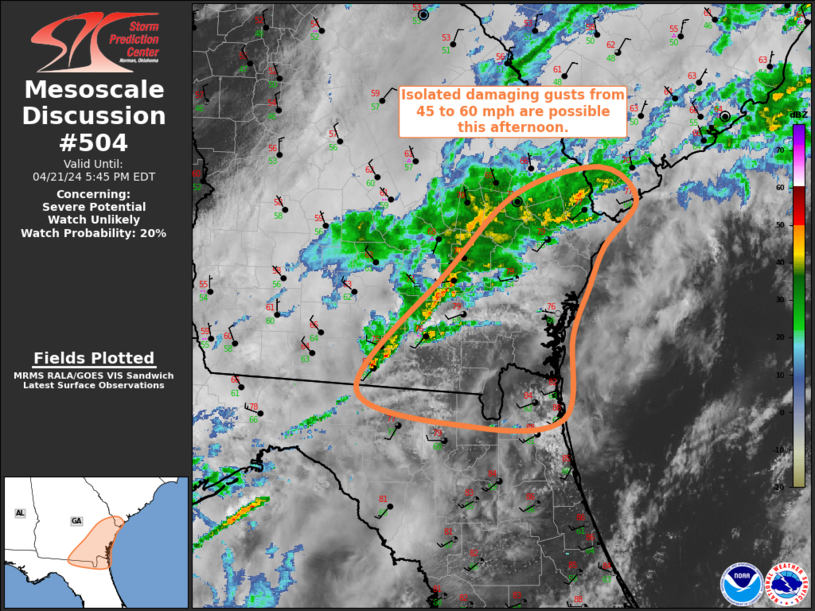
| Mesoscale Discussion 504 | |
| < Previous MD | |
|
|
Mesoscale Discussion 0504 NWS Storm Prediction Center Norman OK 0246 PM CDT Sun Apr 20 2025 Areas affected...Northwest/north-central Arkansas into southern Missouri Concerning...Tornado Watch 154... Valid 201946Z - 202115Z The severe weather threat for Tornado Watch 154 continues. SUMMARY...Storms moving into north-central Arkansas and southern Missouri will pose a risk of tornadoes--some strong--and damaging winds. There are signs of discrete storms within the line in northwest/west-central Arkansas. These storms would bring the greatest tornado risk. DISCUSSION...KSRX radar imagery shows a few semi-discrete storms in far western Arkansas. MRMS CAPPI data also shows these storms intensifying. Mid-level ascent with southern extent will remain more limited, but deep-layer shear vectors slightly more perpendicular to the cold front will also favor discrete storms. VAD data from KSGF/KLZK/KLSX all have shown an increase in low-level SRH over the past couple of hours. This trend should continue, particularly in Missouri. Supercell and QLCS tornadoes, some of which could be strong, are all possible in this environment. Additionally, the more linear convective elements will also pose a threat of wind damage. ..Wendt.. 04/20/2025 ...Please see www.spc.noaa.gov for graphic product... ATTN...WFO...LZK...SGF...TSA... LAT...LON 36229452 36709452 37129414 37419288 37379162 36929141 35529178 34889289 34619371 34509449 36229452 MOST PROBABLE PEAK TORNADO INTENSITY...120-150 MPH MOST PROBABLE PEAK WIND GUST...65-80 MPH MOST PROBABLE PEAK HAIL SIZE...1.00-1.75 IN |
|
|
Top/All Mesoscale Discussions/Forecast Products/Home |
|
Source link