|
|
| Mesoscale Discussion 485 | |
| < Previous MD | |

|
|
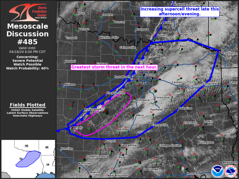
Mesoscale Discussion 0485 NWS Storm Prediction Center Norman OK 0421 PM CDT Sat Apr 19 2025 Areas affected...Portions of southwestern Texas Concerning...Tornado Watch 147... Valid 192121Z - 192215Z The severe weather threat for Tornado Watch 147 continues. SUMMARY...The severe threat continues across Severe Thunderstorm Watch 147. The highest tornado threat exists with supercells interacting with a boundary. DISCUSSION...Multiple supercells have become sustained across portions of southwestern Texas, with the lead supercell having a history of producing a tornado while interacting with a mesoscale baroclinic boundary. While severe gusts and hail will remain a concern with these storms over the next several hours, additional tornadoes remain possible with any of these storms if their updrafts can anchor to the boundary and effectively ingest locally higher SRH. ..Squitieri.. 04/19/2025 ...Please see www.spc.noaa.gov for graphic product... ATTN...WFO...SJT...MAF... LAT...LON 31080228 32170133 32850017 32939959 32569937 32029956 31550001 31220058 31040114 30940195 31080228 MOST PROBABLE PEAK TORNADO INTENSITY...120-150 MPH MOST PROBABLE PEAK WIND GUST...55-70 MPH MOST PROBABLE PEAK HAIL SIZE...2.00-3.50 IN |
|
|
Top/All Mesoscale Discussions/Forecast Products/Home |
|
Source link

