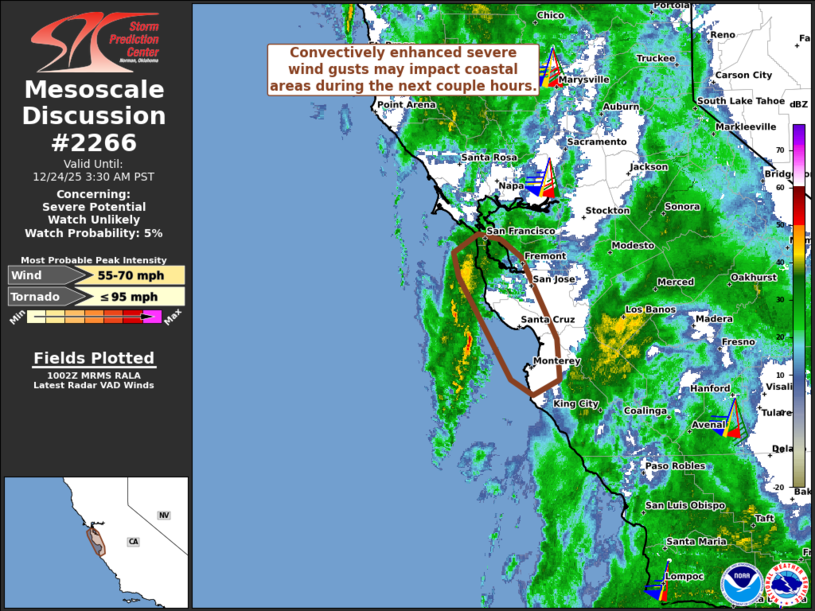
Mesoscale Discussion 2266 NWS Storm Prediction Center Norman OK 1141 PM CST Fri Dec 13 2024 Areas affected...parts of north central Missouri into southeastern Iowa Concerning...Freezing rain Valid 140541Z - 140945Z SUMMARY...Rain and embedded thunderstorms forming across western Missouri during the next few hours appear likely to continue developing northeastward and eastward overnight, supporting moderate freezing rain with potential for appreciable icing north-northwest of Kirksville MO through the Ottumwa IA vicinity by 2-4 AM CST. DISCUSSION...Downstream of a notable short wave trough progressing across the central Great Plains, moisture return within a developing area of large-scale ascent, rooted within lower/mid-tropospheric warm advection, is contributing to an ongoing gradual increase in precipitation northeast of the middle/lower Missouri Valley into eastern Oklahoma. From east of the Sioux Falls area into southeastern Iowa, this appears focused along a 700 mb baroclinic zone which is forecast to slowly develop northward toward the upper Mississippi Valley overnight. Southward across western Missouri into eastern Oklahoma, this appears generally aligned with better lower-level moisture return along one branch of a strong low-level jet (40-50 kt around 850 mb), which is forecast to slowly shift eastward toward the middle Mississippi Valley through 08-10Z. Models indicate that substantive further warming and moistening along the low-level jet will contribute to sufficient steepening of mid-level lapse rates to support weak CAPE above a slowly modifying, but still cold and stable near surface environment across much of Missouri into Iowa. Based on the latest NAM/Rapid Refresh, among other output, it appears that this may be accompanied by a blossoming band of convection and perhaps embedded weak thunderstorm activity north of Springfield MO through and north of Kirksville by 07-08Z, before continuing to spread northeastward and eastward. North/northwest of Kirksville, northeastward across the Ottumwa vicinity of southeastern Iowa, forecast soundings indicate that a pronounced warm nose will continue to develop above sub-freezing boundary-layer air, which may be maintained (aided initially by evaporative cooling of precipitation) as far south as portions of north central Missouri at least into the 10-11Z time frame. This may allow for appreciable ice accrual as developing convection supports a sustained period of moderate freezing rain, including rates occasionally on the order of 1/4+ inch per hour. ..Kerr.. 12/14/2024 ...Please see www.spc.noaa.gov for graphic product... ATTN...WFO...LSX...DVN...DMX...EAX... LAT...LON 40239343 41359317 41749235 41399167 40719191 40289234 40069292 40239343
Storm Prediction Center Mesoscale Discussion 2266
14
Dec