 |
| Mesoscale Discussion 2262 | |
| < Previous MD Next MD > | |

|
|
   Mesoscale Discussion 2262
   NWS Storm Prediction Center Norman OK
   0348 PM CST Thu Dec 18 2025

   Areas affected...Eastern Arkansas into northern
   Mississippi...western Tennessee...western Kentucky...and southern
   Indiana

   Concerning...Severe potential...Watch unlikely

   Valid 182148Z - 182345Z

   Probability of Watch Issuance...20 percent

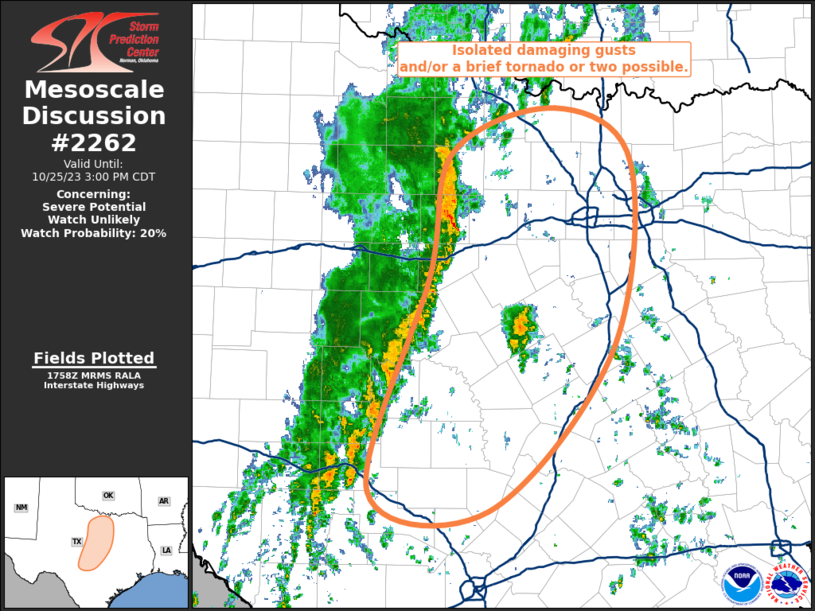
   SUMMARY...Sporadic damaging winds will be possible as convection
   along a strong cold front pushes east across the Mid-Mississippi
   River Valley and lower Ohio River Valley. Watch issuance is not
   expected.

   DISCUSSION...Convection along a strong cold front has started to
   show a gradual uptick in intensity across eastern AR into MS/TN per
   recent GOES IR imagery and lightning trends. This comes as the cold
   front begins to impinge on a narrow plume of returning moisture into
   the MS Valley characterized by dewpoints in the upper 50s and low
   60s. Latest RAP mesoanalyses estimate MLCAPE has increased to around
   500 J/kg as far north as the I-40 corridor in northeast AR/western
   TN, which should support further intensification over the next few
   hours. While thunderstorm intensity will generally be modulated by
   the meager buoyancy/poor lapse rates, a very strong low-level
   kinematic environment (40-50 knot winds are noted in regional VWPs
   within the 0-1 km layer) will support the potential for damaging
   gusts.

   One 50 knot gust was recently observed at KHKA in far northeast AR,
   but velocity imagery from KPAH and KNQA shows only embedded swaths
   of stronger winds within the line. This suggests that the wind
   threat should remain fairly localized to narrow corridors. While the
   potential for damaging winds will be greatest across AR/MS/TN within
   the axis of appreciable mixed-layer buoyancy, sporadic damaging
   winds are possible with northward extent into western KY and
   southern IN. Given the limited thermodynamic environment, the
   overall intensity of the developing QLCS should remain sufficiently
   low to preclude watch issuance.

   Additionally, weak convective cells within a pre-frontal trough
   across central/north-central MS are being monitored. These cells are
   developing within the axis of MLCAPE and where low-level SRH is
   fairly strong (approximately 350 m2/s2 0-1 km SRH). While confidence
   is low in whether these cells will intensify due to weaker forcing
   for ascent and the meager thermodynamic environment, a wind/tornado
   threat could materialize if sufficient intensification can take
   place.

   ..Moore/Gleason.. 12/18/2025

   ...Please see www.spc.noaa.gov for graphic product...

   ATTN...WFO...LMK...OHX...IND...HUN...PAH...ILX...MEG...JAN...
   LZK...

   LAT...LON   33688883 33048927 32938967 32969009 33039039 33489141
               33779182 33959198 34129205 35399048 37058912 38668799
               39198774 39418737 39368654 39268600 39028585 38628589
               38118594 37488620 37028653 33688883

   MOST PROBABLE PEAK TORNADO INTENSITY...UP TO 95 MPH
   MOST PROBABLE PEAK WIND GUST...UP TO 60 MPH
|
|
|
Top/All Mesoscale Discussions/Forecast Products/Home |
|
Source link

