|
|
| Mesoscale Discussion 2114 | |
| < Previous MD | |

|
|
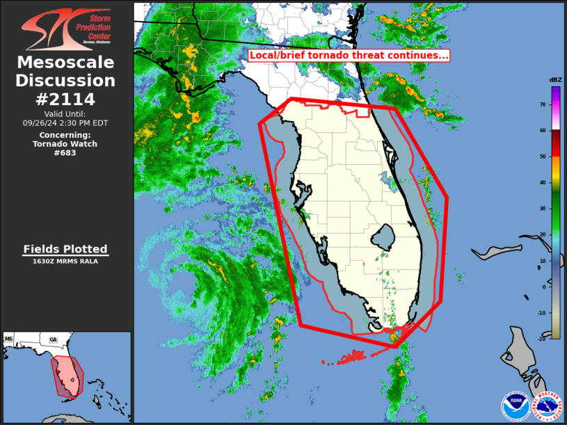
Mesoscale Discussion 2114 NWS Storm Prediction Center Norman OK 1132 AM CDT Thu Sep 26 2024 Areas affected...central and southern portions of the Florida Peninsula Concerning...Tornado Watch 683... Valid 261632Z - 261830Z The severe weather threat for Tornado Watch 683 continues. SUMMARY...Local/brief tornado risk continues across the Florida Peninsula and adjacent coastal waters. DISCUSSION...Latest radar loop shows a relative dearth of inland convection over central and southern Florida, despite the center of Helene only approximately 175 nm west of Naples Fl. With that said, additional/banded convection should affect the Peninsula over the next several hours as Helene moves slowly northward. Some hints of evolving/cellular convection are now noted over southern Florida from Lake Okeechobee south to the far southern Florida Coast, and cellular convection is also increasing near and just offshore from the Tampa Bay area. Given favorably strong/weakly veering low-level flow indicated across the area, risk for brief tornadoes continues with any cellular convection that evolves. ..Goss.. 09/26/2024 ...Please see www.spc.noaa.gov for graphic product... ATTN...WFO...MFL...MLB...KEY...TBW...JAX...TAE... LAT...LON 29108354 29608286 29418057 27697948 25727966 24868062 25278259 29108354 |
|
|
Top/All Mesoscale Discussions/Forecast Products/Home |
|


