|
|
| Mesoscale Discussion 1456 | |
| < Previous MD | |

|
|
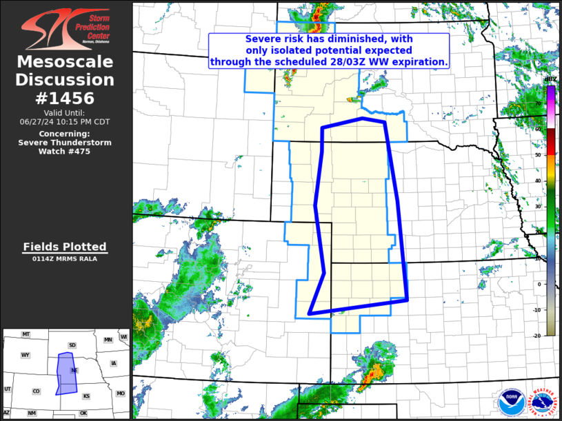
Mesoscale Discussion 1456 NWS Storm Prediction Center Norman OK 0816 PM CDT Thu Jun 27 2024 Areas affected...southern South Dakota southward to eastern Colorado/northwestern Kansas Concerning...Severe Thunderstorm Watch 475... Valid 280116Z - 280315Z The severe weather threat for Severe Thunderstorm Watch 475 continues. SUMMARY...Severe risk has diminished within WW 475 from far southern South Dakota southward, as existing/very isolated storms have decayed over the past hour. Very limited severe risk persists, given potential for an additional storm or two, but no appreciable increase in coverage/risk is anticipated at this time. DISCUSSION...Latest radar loop shows the few isolated/strong to severe cells which were ongoing from from western Nebraska to eastern Colorado/northwestern Kansas have diminished/dissipated over the past hour. A moist/unstable airmass persists east of the surface trough, but the boundary layer will continue to nocturnally cool, along with an associated increase in capping as depicted in the LBF 00Z RAOB. As such, any additional storm development in the next couple of hours should remain very isolated at best. ..Goss.. 06/28/2024 ...Please see www.spc.noaa.gov for graphic product... ATTN...WFO...GID...LBF...DDC...UNR...GLD...BOU... LAT...LON 38720273 39740228 41410260 42760240 43350240 43580103 43490028 41539988 39079962 38720273 |
|
|
Top/All Mesoscale Discussions/Forecast Products/Home |
|


