|
|
| Mesoscale Discussion 1386 | |
| < Previous MD | |

|
|
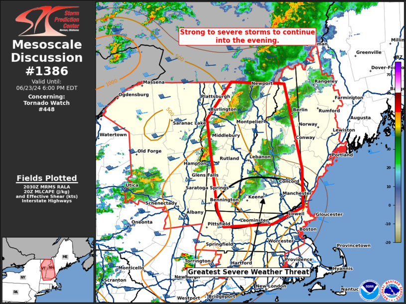
Mesoscale Discussion 1386 NWS Storm Prediction Center Norman OK 0332 PM CDT Sun Jun 23 2024 Areas affected...Vermont...New Hampshire...and far northern Massachusetts Concerning...Tornado Watch 448... Valid 232032Z - 232200Z The severe weather threat for Tornado Watch 448 continues. SUMMARY...Strong to severe storms should continue into the evening across Vermont and New Hampshire and perhaps northern Massachusetts. DISCUSSION...Isolated to scattered strong to severe storms have produced isolated wind damage across parts of eastern New York and Vermont this afternoon. The environment across the region has continued to improve with mid 70s dewpoints now into southern Vermont and New Hampshire and some stronger low-level flow across the same region. The ENX VWP shows over 200 m2/s2 0-1km SRH which will continue to support organizing low-level updrafts and some tornado threat into the evening. Several rounds of severe weather are possible with another round of storms near the NY/VT border which may intensify as they move east, and another cluster in central New York which may strengthen as it moves into the improving environment farther east this evening. ..Bentley.. 06/23/2024 ...Please see www.spc.noaa.gov for graphic product... ATTN...WFO...GYX...BOX...BTV...ALY... LAT...LON 42777300 44357326 45027267 44997137 43497095 42817093 42517167 42457284 42777300 |
|
|
Top/All Mesoscale Discussions/Forecast Products/Home |
|


