|
|
| Mesoscale Discussion 1057 | |
| < Previous MD | |

|
|
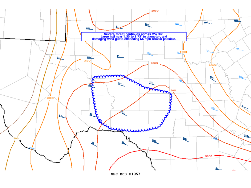
Mesoscale Discussion 1057 NWS Storm Prediction Center Norman OK 0615 PM CDT Tue May 28 2024 Areas affected...Portions of the Lower Trans-Pecos and Edwards Plateau Concerning...Severe Thunderstorm Watch 345... Valid 282315Z - 290045Z The severe weather threat for Severe Thunderstorm Watch 345 continues. SUMMARY...A severe threat of large hail and severe wind gusts will continue across portions of the Lower Trans-Pecos and Edwards Plateau DISCUSSION...A right moving supercell, along with another deepening updraft on its western flank, will continue to progress eastward into Crockett and Val Verde Counties over the next hour. The downstream convective environment will remain favorable for updraft organization, with deep effective shear around 45-55 kt, and steep mid level lapse rates contributing to around 3500 J/kg of MLCAPE. Large hail around 1.5 to 2.5" will remain the main severe threat with these thunderstorms. However, severe wind gust potential may increase through the evening hours as a deeper cold pool develops with merging updrafts. ..Barnes.. 05/28/2024 ...Please see www.spc.noaa.gov for graphic product... ATTN...WFO...EWX...SJT...MAF... LAT...LON 30010201 30150211 30780225 31100225 31150144 30840081 30700007 30280014 29900042 29820081 29800110 29850172 30060210 30010201 |
|
|
Top/All Mesoscale Discussions/Forecast Products/Home |
|


