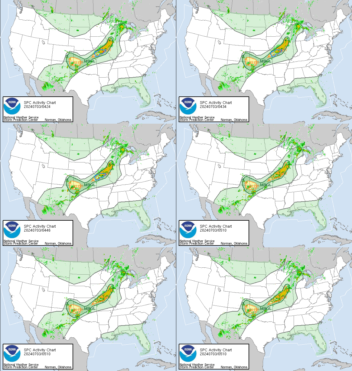
The Storm Prediction Center convective weather outlook is part of the National Weather Service (NWS) and the National Center for Environmental Prediction (NCEP). Their mission is to provide accurate forecasts and monitor the timing of thunderstorms and severe storms in the United States. The SPC provides convective outlooks on Day 1, Day 2, and Day 3 that reflect the overall level of severe weather hazard outlooks through a list of forecast statistics. This data identifies areas at risk of mild thunderstorms and severe thunderstorms. For more information on how to read this map, please see the bottom of this page.

Convective Outlook Day 1

SPC Day 1 Outlook Discussion
ACUS01 KWNS 260038 SWODY1 SPC AC 260037 Day 1 Convective Outlook NWS Storm Prediction Center Norman OK 0737 PM CDT Wed Mar 25 2026 Valid 260100Z - 261200Z ...NO SEVERE THUNDERSTORM AREAS FORECAST... ...SUMMARY... Severe thunderstorms are unlikely tonight. ...01z Update... Stubborn upper ridge is holding firm across the southwestern US/southern Rockies early this evening. As a result, stronger flow is forced across the northern tier of states along with most meaningful short-wave troughs. Midlevel height field is being suppressed a bit across the northern Rockies/high Plains and a few thunderstorms have developed across eastern MT where lapse rates are steep, but MUCAPE is very weak. This activity should become even more isolated with loss of daytime heating. Warm advection is expected to contribute to weak elevated convection across portions of the Midwest tonight as profiles gradually moisten in the 2-3km layer due to a modestly strong but veered LLJ. Forecast soundings suggest any hail that develops with this elevated activity should remain below severe levels. Isolated convection that is currently noted across portions of the central FL Peninsula should continue to weaken over the next few hours as the boundary layer cools. Lighting threat should focus offshore by mid evening. ..Darrow.. 03/26/2026 $$ |
Convective Outlook Day 2

SPC Day 2 Outlook Discussion
ACUS02 KWNS 251725 SWODY2 SPC AC 251723 Day 2 Convective Outlook NWS Storm Prediction Center Norman OK 1223 PM CDT Wed Mar 25 2026 Valid 261200Z - 271200Z ...THERE IS AN ENHANCED RISK OF SEVERE THUNDERSTORMS ACROSS PORTIONS OF NORTHERN AND CENTRAL ILLINOIS AND INDIANA INTO WESTERN OHIO... ...SUMMARY... Scattered severe thunderstorms are expected late Thursday afternoon and evening across parts of the Mid-Mississippi and Ohio Valleys. Very large hail, a few tornadoes, and severe wind gusts will be possible. ...Mid-MS/OH Valleys... Several shortwave impulses are expected to migrate through initially zonal/low-amplitude westerly flow across the Midwest/Great Lakes region through late afternoon. Stronger height falls will occur across the region after 00z as a midlevel shortwave trough deepens across the Upper Midwest and Great Lakes. Despite the low-amplitude nature of this regime, mid and upper-level flow will be somewhat strong, with most guidance showing 40-60 kt at 850-700 mb overspreading the Mid-MS/OH Valley/Great Lakes region by afternoon. At the surface, a warm front will be oriented across central IA, extending eastward along the IL/WI and IN/OH/MI border at midday. A weak surface low/frontal wave will propagate along this zone, with the front sagging southward as a cold front by late afternoon into the evening. By the end of the period, the front will be oriented from the northern Mid-Atlantic southwestward through the Lower OH valley and into the southern Plains. Forecast soundings indicate capping could preclude warm sector convection for much of the daytime hours. In the absence of stronger large-scale ascent and surface cyclogenesis, the region will experience a broad warm advection regime, while low-level forcing along the front increases as it begins to march southward. Deep-layer flow will largely remain boundary-parallel, though backing low-level flow is expected near the front across the warm sector, enhancing low-level SRH. Boundary-layer moisture will be somewhat modest, generally in the low 60s F, through some pockets of mid-60s F dewpoints are possible, especially immediately ahead of the front. A plume of steep midlevel lapse rates will already be in place over the region, and this will aid in moderate destabilization, with MLCAPE values reaching 1000-2000 J/kg by peak heating. Supercell wind profiles are evident in forecast soundings, with enlarged/favorably curved low-level hodographs along the front and 45+ kt effective shear magnitudes. Given strong deep-layer flow, hodographs also are elongated/straight. Supercells producing large to very large hail (greater than 2+ inch) are possible, even with potentially elevated convection to the cool side of the boundary. If any supercell can stay to the warm side of the surface front and maintain surface-based status, a tornado risk is also possible (possibly strong tornadoes). With time, convection is expected to develop into a line or bowing segments given orientation of deep-shear vectors to the surface boundary. Given strength of 850-700 mb flow and steep lapse rates, damaging winds gusts are possible. The severe risk should diminish with south and east extent during the nighttime hours as storms approach the Ohio River. ..Leitman.. 03/25/2026 $$ |
Convective Outlook Day 3

SPC Day 3 Outlook Discussion
ACUS03 KWNS 251853 SWODY3 SPC AC 251852 Day 3 Convective Outlook NWS Storm Prediction Center Norman OK 0152 PM CDT Wed Mar 25 2026 Valid 271200Z - 281200Z ...NO SEVERE THUNDERSTORM AREAS FORECAST... ...SUMMARY... Isolated thunderstorms are expected from the upper Ohio Valley into the Carolinas Friday morning into the afternoon, but severe thunderstorm potential appears limited. ...Synopsis... A midlevel shortwave trough will pivot across the eastern U.S. on Friday. At the surface, a cold front oriented from the Mid-Atlantic southwestward through the Ohio Valley and southern Plains early Friday will develop southward through the period, moving offshore by Saturday morning. Boundary-layer moisture will remain modest ahead of the front from the Ohio Valley into the Mid-Atlantic and Carolinas. However, strong heating and steep midlevel lapse rates will support weak destabilization. Isolated thunderstorms are possible near and just behind the front within a warm advection regime atop the boundary. Limited instability and modest vertical shear will preclude severe thunderstorms. ..Leitman.. 03/25/2026 $$ |
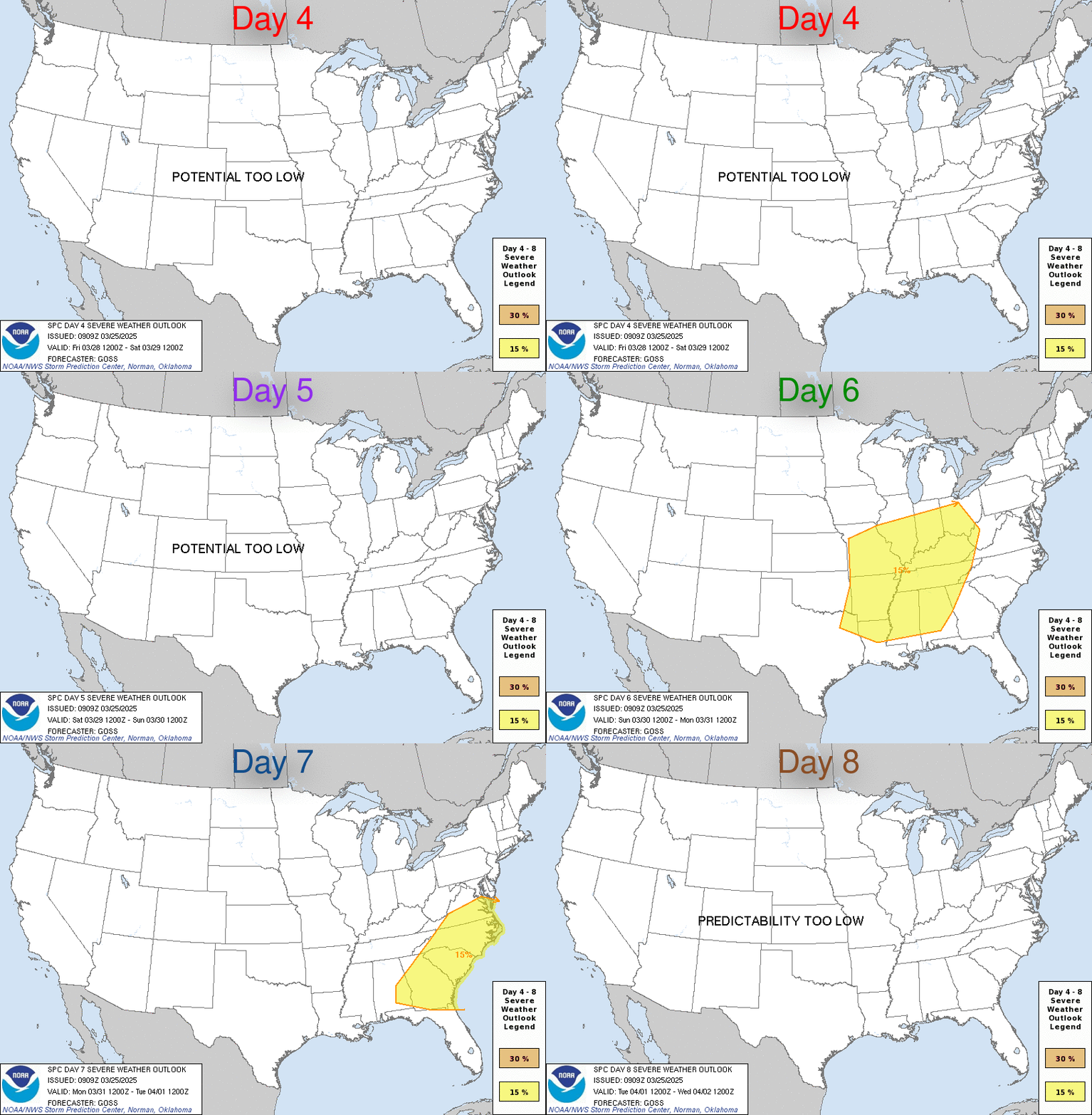
Convective Outlook Day 4-8

SPC Day 4-8 Outlook Discussion
ACUS48 KWNS 250846
SWOD48
SPC AC 250844

Day 4-8 Convective Outlook
NWS Storm Prediction Center Norman OK
0344 AM CDT Wed Mar 25 2026

Valid 281200Z - 021200Z

...DISCUSSION...
Severe thunderstorm potential remains limited for this weekend,
though a gradual increase in some severe threat is anticipated by
the middle of next week. In the wake of a cold frontal passage on
D3/Friday into D4/Saturday, surface high pressure building over the
eastern Plains and OH Valley will maintain dry and stable conditions
for most regions east of the Rockies. Concurrently, a slight
re-amplification of an upper-level ridge this weekend over the
Southwest/West Coast will maintain warm and dry conditions for the
southwestern CONUS. Long-range ensemble guidance continues to show a
reasonably consistent signal in the slow eastward migration of the
upper ridge through early next week. As this occurs, surface high
pressure will gradually shift off the East Coast and promote
moisture return into the Plains and MS Valley. Tight clustering of
GEFS members lends high confidence in the potential for a return of
slightly above seasonal moisture by the D6/Monday to D7/Tuesday time
frame. Thunderstorm chances should steadily increase through
mid-week as southwesterly flow aloft becomes increasingly
predominant and promotes ascent/lapse-rate advection over the
northwestern fringe of the returning moisture. Extended-range
guidance hints at severe thunderstorm potential through the
D6/Monday to D8/Wednesday time frame - mainly across the upper MS
Valley/Midwest within the warm conveyor region of an organizing
cyclone. While confidence in the overall synoptic evolution through
next week is high, notable run-to-run variability in the convective
environment forecast beyond D6 suggests predictability remains too
limited to warrant highlights at this time.

..Moore.. 03/25/2026
Convective Weather Outlook Legend Data
- TSTM (light green) – General or non-severe thunderstorms – Delineates, to the right of a line, where a 10% or greater probability of thunderstorms is forecast during the valid period.
- 1-MRGL (dark green) – Marginal risk – An area of severe storms of either limited organization and longevity, or very low coverage and marginal intensity.
- 2-SLGT (yellow) – Slight risk – An area of organized severe storms, which is not widespread in coverage with varying levels of intensity.
- 3-ENH (orange) – Enhanced risk – An area of greater (relative to Slight risk) severe storm coverage with varying levels of intensity.
- 4-MDT (red) – Moderate risk – An area where widespread severe weather with several tornadoes and/or numerous severe thunderstorms is likely, some of which should be intense. This risk is usually reserved for days with several supercells producing intense tornadoes and/or very large hail. Or an intense squall line with widespread damaging winds.
- 5-HIGH (magenta) – High risk – An area where a severe weather outbreak is expected from either numerous intense and long-tracked tornadoes. Also, a long-lived derecho-producing thunderstorm complex that produces hurricane-force wind gusts and widespread damage. This risk is reserved for when high confidence exists in widespread coverage of severe weather with embedded instances of extreme severe. (i.e., violent tornadoes or very damaging convective wind events).
This data is courtesy from the Storm Prediction Center

