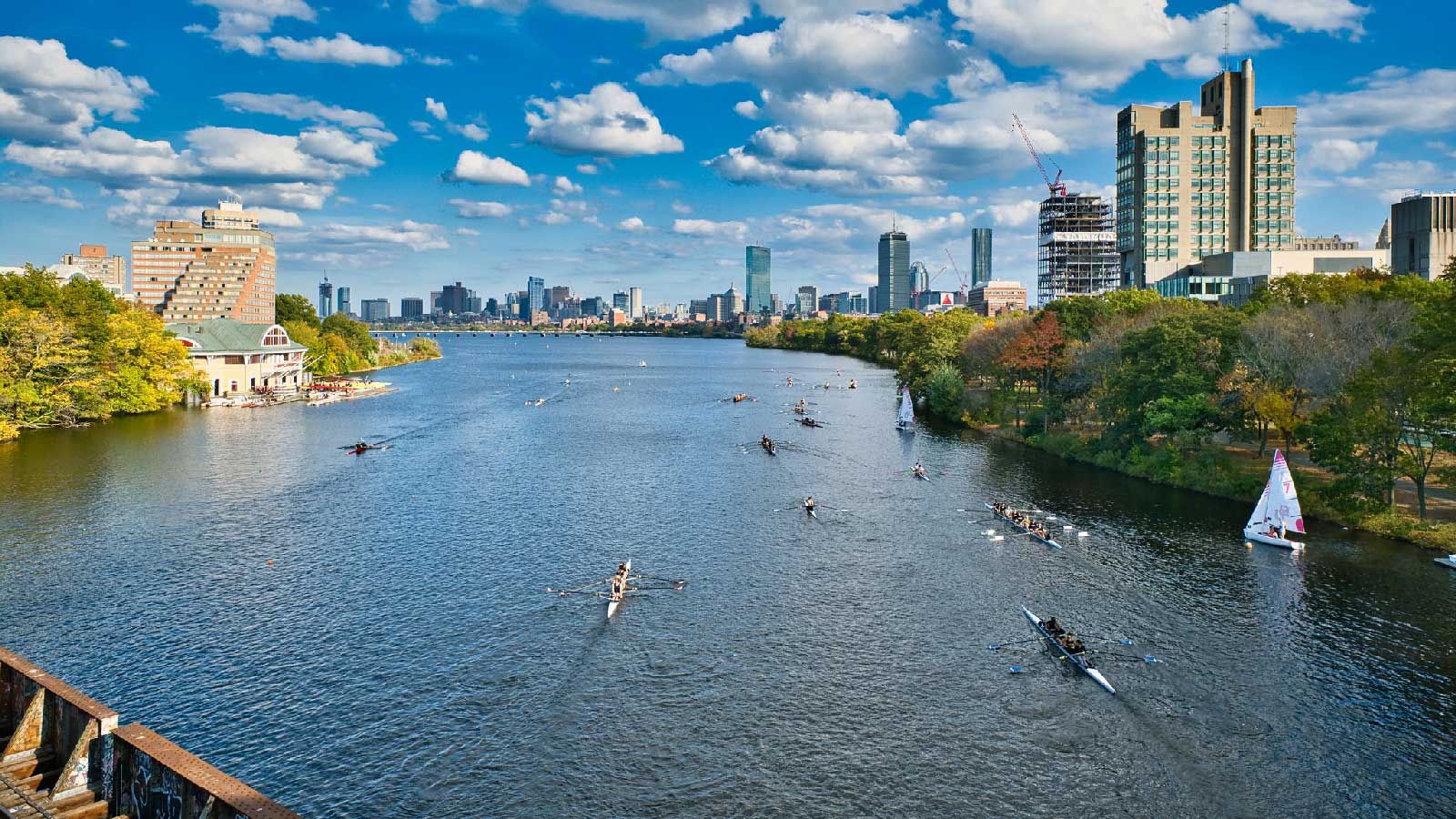
The Charles River meanders through more than 20 towns and cities in eastern Massachusetts on its way to Boston Harbor.
And when heavy rain falls in one of those communities, it can contribute to flooding in others.
“The water is running from the headwaters of your river down to the mouth of your river,” says Julie Wood of the Charles River Watershed Association. “So what’s happening upstream will impact what’s happening downstream.”
The nonprofit commissioned a computer model that simulates the impact of extreme weather in the watershed. It shows which areas face the greatest flood risk as the climate changes.
The group also leads a coalition of 28 municipalities working together on solutions.
For example, they identified upstream locations where restoring wetlands could help soak up stormwater, and help reduce downstream flooding.
“If you’re not looking at that holistic picture, one, you’re not really going to understand the problem correctly and, two, you’re not going to have the full toolbox of solutions,” Wood says.
So upstream and downstream communities must work together to prepare for extreme weather.
Reporting credit: Sarah Kennedy/ChavoBart Digital Media
Source link


