Goosed by extreme one-day rainfall – a phenomenon getting worse with human-caused climate change – floods tore through towns and rural landscapes across eastern Kentucky late this week. At least 16 deaths had been reported in four Kentucky counties as of midday Friday, according to a statement from Kentucky governor Andy Beshear. In an afternoon press briefing, Beshear added that the total is “going to get a lot higher” as rescuers move into hard-to-access areas. More than 300 people were in Red Cross and independent shelters, and power outages were affecting some 23,000 customers.
U.S. President Joe Biden declared the Kentucky flooding a major disaster on Friday, paving the way for federal assistance.
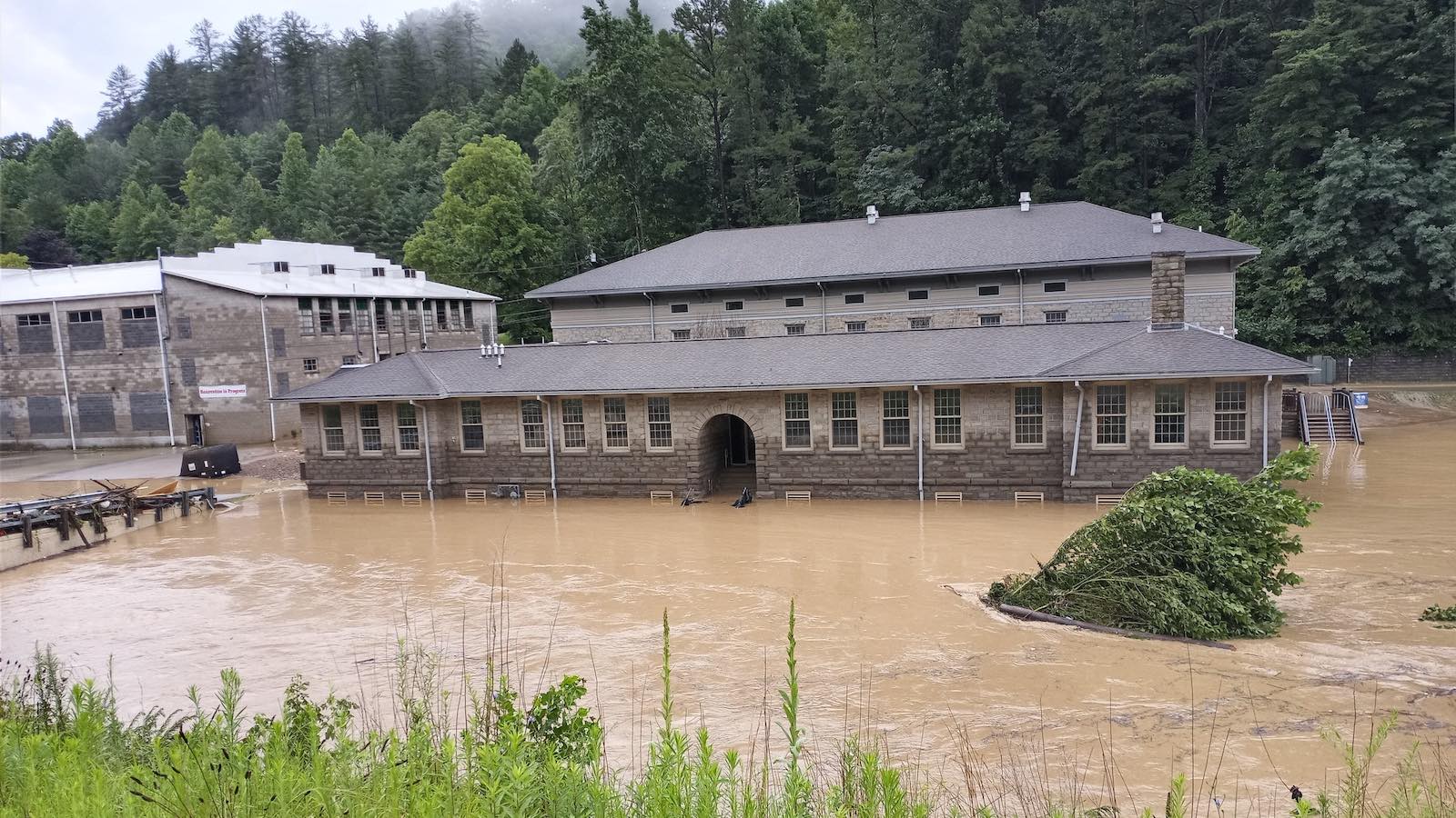
While some of the worst multi-day river floods in U.S. history have struck parts of northern western Kentucky bordering the Ohio River, the rugged hills, mountains, and “hollers” of east and southeast Kentucky are notoriously prone to smaller-scale flash floods that can play out over broad areas.
The region’s place names alone – including Troublesome Creek and the city of Hazard – convey the sense of perennial risk.
The rains produced by a stationary front draped from west to east across the Ohio Valley (the same front that generated the record-smashing St. Louis rains of Tuesday) were exceptional, falling atop soils that were already saturated from rains earlier in the month.
As noted by meteorologist Meghan Dahaney, the highest 24-hour totals in eastern Kentucky as of midday Thursday – including 7.71” at Hazard, 8.48” at Oneida, 9.27” at Pippa Passes, and 10.40” at Buckthorn Lake – weren’t far from the all-time state 24-hour rainfall record of 10.48” set in Louisville on March 1, 1997.


Yet another round looming
The stationary front began pushing south on Friday, giving the region a much-needed chance to begin recovering. More heavy rain is possible on Sunday and Monday, as the front pushes north yet again. These rains are expected to be more progressive, so local totals should be considerably less than the highest observed this week, but saturated soils will still keep the potential for flooding significant.
On Friday morning, the NOAA Weather Prediction Center kept eastern Kentucky in a moderate risk of excessive rains through Saturday morning. A much larger slight-risk area for Sunday into Monday morning extends from the mid-Mississippi Valley to the Mid-Atlantic, with additional flooding potential in eastern Kentucky and Tennessee through Monday.

A painful blow to regional arts
The close-knit world of Appalachian music and crafts has several outposts in eastern Kentucky, and the flooding took a grievous toll on them. In the hard-hit town of Hindman, the historic Appalachian School of Luthiery (the making of stringed instruments) also houses the Museum of the Mountain Dulcimer.
“The Dulcimer Museum was destroyed,” said Eye on the Storm moderator Holly Cartier, who has close ties to Hindman. “This destroyed the life’s work of 20 or so people and left them without income.”
The photo tweeted below is from the ravaged school.
Jeff Masters contributed to this post.
Website visitors can comment on “Eye on the Storm” posts (see comments policy below). Sign up to receive notices of new postings here.
Source link