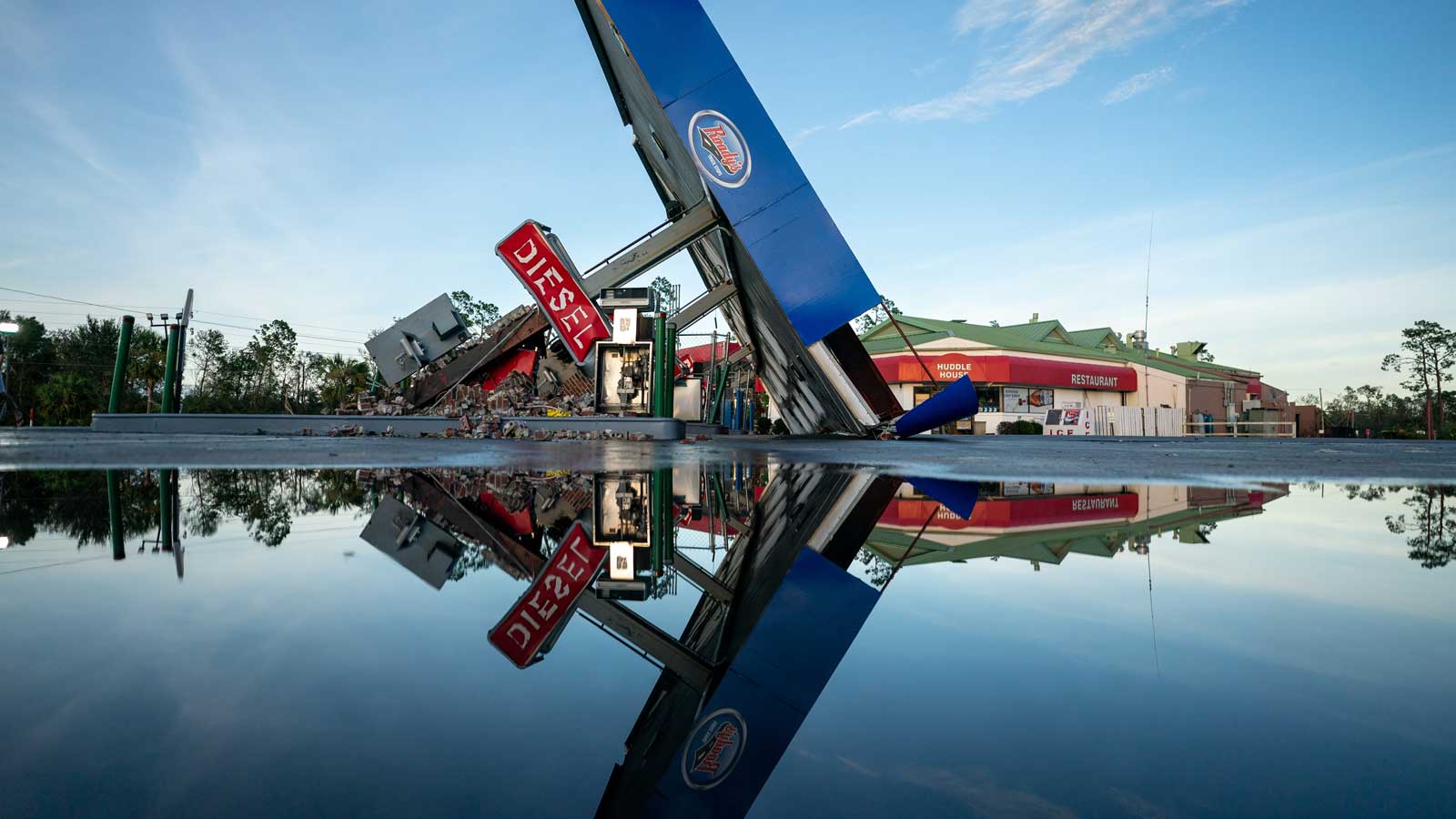
In the 24 hours before it made landfall in Florida on Wednesday, Hurricane Idalia underwent what Yale Climate Connections meteorologist Jeff Masters described as “a very impressive burst of rapid intensification.” The storm’s winds increased from 75 mph to 130 mph, exponentially increasing its potential to wreak havoc to property and people’s lives.
That intensification is “to be expected with hotter ocean temperatures,” Masters told NBC News:
Most of the eastern Gulf of Mexico has been 2 to 4 degrees Fahrenheit warmer than average, with isolated spots along the coast, near where Idalia made landfall, up to 5 degrees above average, according to analyses of sea surface temperatures by tropical cyclone forecaster Levi Cowan on his website, Tropical Tidbits.
Masters pointed to a spate of hurricanes since 2017 that have intensified rapidly.
“We’ve seen this movie a lot,” he said. “We saw this with Hurricane Ian last year, though it did weaken a little bit right before landfall. We saw this with Hurricane Ida the year before that in Louisiana. We saw it with Laura. We saw it with Harvey. So a lot of rapid intensifiers right before landfall.”
…
Masters said that hotter oceans will set the stage for more rapidly intensifying storms in the future.
“We’re continuing to warm the ocean,” he said, “so you ain’t seen nothing yet.”
Read: Climate change is causing more rapid intensification of Atlantic hurricanes
What does the rest of the 2023 Atlantic hurricane season have in store?
Yale Climate Connections meteorologist Bob Henson spoke with Slate about the chaotic hurricane season so far:
Another interesting phenomenon at play is the current El Niño season that we’re experiencing. That’s a natural climate pattern that produces weaker surface winds across the entire tropical Pacific and pushes ocean temperatures in the central and eastern tropical Pacific Ocean to be warmer than average — which is what likely drove Hurricane Hilary, which hit the West Coast just a week ago.
El Niño typically reduces Atlantic hurricane activity by increasing wind shear.
But the Atlantic waters are so hot right now that El Niño’s inhibiting effects are being stifled. “So what do you conclude when you have one factor, like the warm waters, saying it will be a very busy season, and a pretty strong El Niño saying it’s actually a quiet season?” said Henson. “It’s hard to know which of those is going to win out.”
Henson believes it boils down to both factors creating a unique hurricane season. “Oceans warm some years, and we’re going to see spikes,” said Henson. “And it’s just one of those years where the long-term warming trend in oceans driven by climate change is making itself known.”
Source link


