The National Hurricane Center announced today that Hurricane Ian of 2022 attained category 5 status with 160 mph sustained winds and a central pressure of 937 mb for a few hours before weakening slightly and hitting Florida as a devastating Cat 4. Note that the uncertainties in the final “best-track” estimates of hurricane intensities are around ±10%, and there is very little practical difference between a 160-mph category 5 and a 155-mph category 4 hurricane, which was its peak intensity as initially assessed.
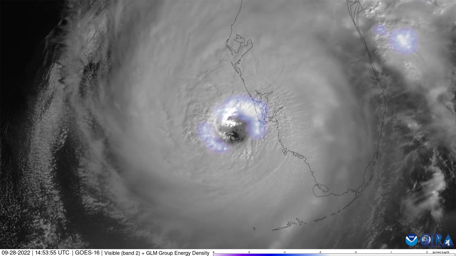
Ian made a total of five landfalls: in western Cuba as a Cat 4 with 125 mph winds on Sept. 27; in the Dry Tortugas as a Cat 3 with 125 mph winds on Sept. 28; on Florida’s Cayo Costa Island as a Cat 4 with 150 mph winds on Sept. 28; near Fort Myers Beach as a Cat 4 with 145 mph winds on Sept. 28; and as a Cat 1 with 80 mph winds on Sept. 30 near Georgetown, South Carolina.
The highest sustained wind reported near the landfall location was 94 knots (108 mph) from a WeatherSTEM station at Iona, Florida; the anemometer height is unknown. Multiple stations near the path of Ian’s center went out of service before or during the strongest winds. For more on the multiple factors that explain why there are seldom surface-based wind observations as high as the officially estimated wind speeds at landfall, see our 2018 deep-dive post, Hurricane Winds at Landfall: A Measurement Challenge.
Total damages from Ian are estimated at $112.9 billion, making it the third-most expensive weather disaster in world history. Only Hurricane Katrina of 2005 ($190 billion) and Hurricane Harvey of 2017 ($151 billion) were more expensive.


An unusually deadly hurricane
Ian had a very high death toll, with 66 direct deaths, all in Florida. This makes Ian the seventh-deadliest U.S. hurricane of the past 60 years for direct deaths. Storm surge was the deadliest hazard, claiming 41 lives, with 36 of the 41 surge fatalities occurring in Lee County, Florida. There were 12 direct fatalities attributed to freshwater flooding in central and eastern Florida, eight were categorized as marine fatalities, four were related to wind, and one was due to rough surf. A boat carrying a reported 27 migrants traveling from Cuba to the United States capsized just off the coast of the Florida Keys in rough waters generated by Ian. Though four passengers swam to shore and five were rescued, only seven bodies were recovered (accounting for seven of the eight marine deaths). The 11 other people missing from the boat are not represented in the total fatalities. A couple living on a separate boat that was set adrift from the Florida Keys is also still missing.
Ian’s direct plus indirect death toll was also very high: 166. Most of the victims (84 in total) were located in Florida, with five in North Carolina and one in Virginia. This toll makes Ian the fourth-deadliest U.S. hurricane of the past 60 years for total deaths. Five Ian-related deaths also occurred in Cuba.
Storm surge
Water-related factors caused all but four of the 66 direct deaths, as noted above. Chief among those factors was storm surge. Ian produced a peak storm surge of 8-10 feet above ground level in Cuba, and 10-15 feet in Fort Myers Beach and Estero Island, Florida. Storm surge was 9-13 feet above ground level in eastern Sanibel Island, 6-9 feet in Naples, 4-6 feet in Marco Island, 3-5 feet in northeastern Florida, and up to 6 feet along the South Carolina coast.
Rainfall
The highest storm total rainfall from Ian was 26.95 inches in Grove City, Florida, located just north of the landfall location on the western side of the state. Counties north of the track of Ian’s center (including Charlotte, Sarasota, Hardee, DeSoto, Polk, and Manatee) experienced significant flooding when the Peace, Myakka, and Alafia Rivers, and Horse Creek all crested to record levels. In central and eastern Florida, rainfall totals of 10-20 inches caused major river flooding. Rainfall totals reached a secondary peak as Ian neared the Atlantic Ocean, with 21.49 inches recorded at Daytona Beach.
Rainfall totals in coastal regions of the Carolinas, Virginia, and Maryland ranged from 3 to over 10 inches, adding fresh water to the storm surge (in Horry and Georgetown counties in South Carolina). In Charleston, South Carolina, 10.75 inches of rain was observed.
Maximum rainfall totals of over 20 inches (over 500 mm) occurred in the western portion of Cuba; in the Bahamas, over 9 inches of total rainfall were recorded on both Great Abaco and Bimini Islands.
Tornadoes
Ian’s outer rain bands produced 15 tornadoes, 14 of them in Florida and one in North Carolina. The magnitude of the tornadoes ranged from EF0-EF2. Notably, an EF2 tornado with a 7-mile track in Palm Beach County injured two when it caused the roof of a house to collapse, and an EF1 tornado hit the North Perry Airport in Pembroke Pines, damaging several buildings and aircraft, causing an estimated $2 million in property damage.

2022: a below-average year for Cat 5 storms
With Hurricane Ian’s upgrade to Cat 5 status, the tally of Cat 5s observed globally in 2022 has risen to three. Super Typhoon Hinnamnor (160 mph winds on Sept. 1) and Super Typhoon Noru (160 mph winds on Sept. 25) both attained category 5 status in 2022, according to ratings by the Joint Typhoon Warning Center. Typhoon Hinnamnor made landfall in South Korea on Sept. 5 as a category 2 storm with 100 mph winds, killing 11 and causing over $1.2 billion in damage. Typhoon Noru made landfall in the Philippines as a Cat 4, and in Vietnam as a Cat 2, killing 22 and causing at least $60 million in damage.
The 1990-2022 average for an entire calendar year is 5.3 Cat 5 storms, according to ratings by the National Hurricane Center and Joint Typhoon Warning Center. Two other 2022 storms fell just 5 mph short of attaining category 5 strength, topping out with 155 mph winds: Super Typhoon Nanmadol south of Japan on Sept. 17, and Cyclone Darian west of Australia on Dec. 23.
There have been two category 5 storms so far in 2023: Cyclone Freddy, which peaked with 165 mph winds on Feb. 16 east of Madagascar, and Cyclone Kevin, which peaked with 160 mph winds on March 4 southeast of Vanuatu, after hitting the nation as a category 3 storm.
Bob Henson contributed to this post.
Website visitors can comment on “Eye on the Storm” posts (see comments policy below). Sign up to receive notices of new postings here.
Source link