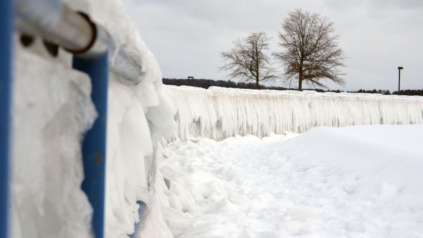
In the Great Lakes region, a forecast of lake-effect snow can mean several feet of the white stuff.
When cold air blows over warm, open lake water, the water evaporates. And when it’s cold enough, that moisture can fall as snow.
“So in November, December, January, you see very large lake-effect events,” says Ricky Rood of the University of Michigan. “And that’s because you have air that is cold enough to snow and you still have the water being warm. Once the water freezes over, then the evaporation is largely reduced and then there’s a reduction of lake-effect snow.”
Rood says that as the climate changes, the lakes are getting warmer and staying ice-free for longer. That can lead to more evaporation — and sometimes heavier lake-effect snow.
“Individual snowstorms can actually be larger in terms of the amount of snow in an individual storm,” he says.
But before snow lovers rejoice, a caveat: As the climate warms, more and more of that lake-effect precipitation is falling as rain instead.
So eventually, winter activities, from snowmobiling to snowball fights, could be harder to experience.
Read: ‘How is climate change affecting winter in my region?’
Reporting credit: ChavoBart Digital Media
Source link