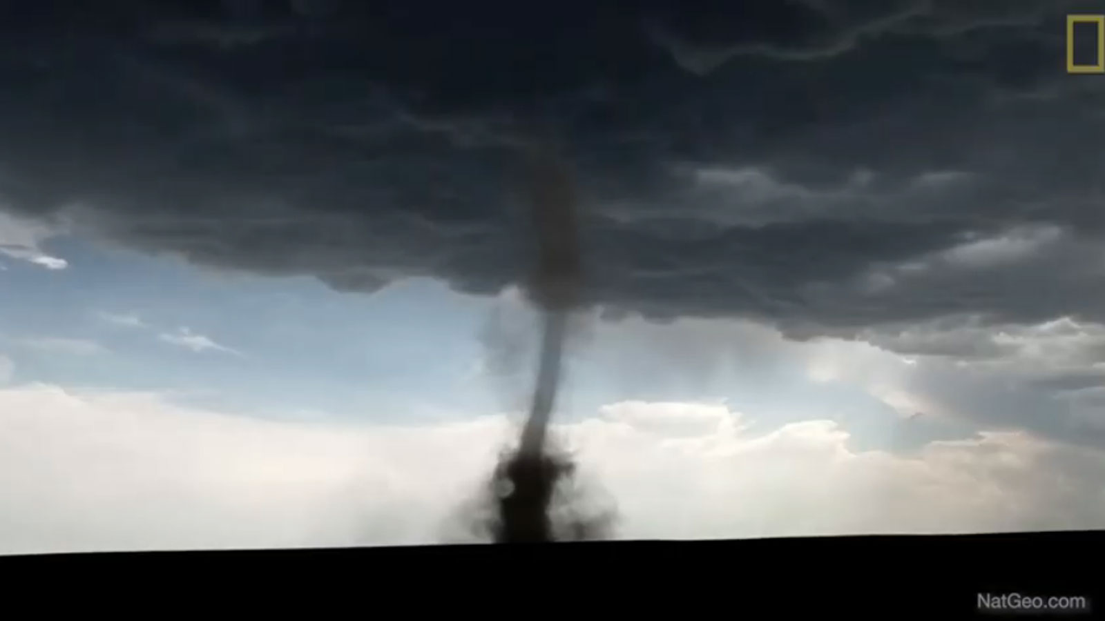
Think back to mid-December. It’s not easy.
But for the moment forget things like the Christmas, Hannukah, and New Years holidays. And set-side briefly the frightening wind-blown fire that ravaged parts of Colorado near Boulder; the sudden early January heavy snowfall that blanketed the Mid-Atlantic and left hundreds (including U.S. Senator and one-time Vice-Presidential candidate Tim Keane) abandoned on one of the nation’s most heavily travelled interstates – I 95 from Washington, D.C., area south to Fredericksburg, Virginia; the sub-zero temperatures in Montana and parts of the upper Midwest.
Fuhgeddaboudit. Though only for long enough to check independent videographer Peter Sinclair’s new Yale Climate Connections video on the “first-ever” extreme tornadic activity that grabbed national headlines and prime-time network and cable coverage for days in – get this – in December, no less.
Superlatives abound in this fast-moving video, with most of the commentary coming from local broadcast meteorologists in places unfamiliar with the glare of national attention: Dodge City, Kansas; Cedar Rapids, Des Moines, and Lawton, Iowa; Rochester and the Twin Cities in Minnesota.
“First time.” “Unprecedented.” “All at the exact same time.” “Never, ever in this area before.” “Largest ever.” “Unprecedented derecho.”
Those are among the terms local and a few nationally well-known experts use to describe the weather extremes that tortured several midwestern states in mid-December. Helping to explain the “why” of it all is Washington Post weather editor Jason Samenow and Penn State University climate and weather expert Michael Mann.
And – one last time for emphasis – all this is before the hellish Boulder County, Colorado, Marshall fire that leveled some 1,000 homes and residences virtually overnight to start the New Year. Take a look. These are a set of tornadic extremes that won’t be soon-forgotten or their impacts across much of the U.S. just short-lived.
Source link


