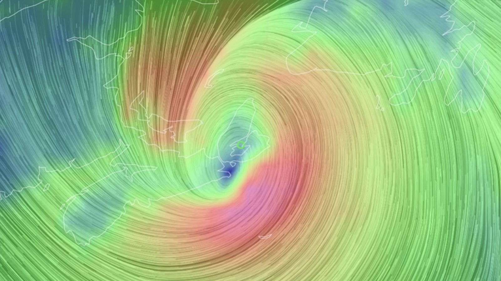
By 8 a.m. EDT Saturday, Fiona had already raced through Nova Scotia and emerged off the north coast of the province’s Cape Breton Island. Its top sustained winds were still estimated at 81 mph, equivalent in strength to a category 1 hurricane. Fiona continues to slow down during its post-tropical phase, much like an occluding winter storm, and its center will not reach Newfoundland and Labrador until late Saturday night or early Sunday. Along the way, Fiona will continue to fling tropical-storm-force winds across much of Atlantic Canada.
Tropical Storm Ian on track to become a Caribbean/Gulf powerhouse
Tropical Depression 9 became Tropical Storm Ian at 11 p.m. EDT Friday night, kicking off what could be an intense few days for residents of the western Caribbean and the eastern U.S. Gulf Coast.
Satellite imagery early Saturday afternoon showed Ian bringing heavy rain showers to Jamaica, southern Haiti, and the southern Dominican Republic, but the storm was disorganized and had only a modest amount of heavy thunderstorms. At 11 a.m. EDT Saturday, Ian was in the central Caribbean about 270 miles south-southeast of Kingston, Jamaica, with top winds of 45 mph, headed west at 15 mph.
Intensity forecast for Ian
The high wind shear from Fiona’s upper-level outflow that was impeding development of Ian on Friday has abated, and wind shear analyses from the SHIPS model and the University of Wisconsin showed moderate wind shear of 10-15 knots affecting Ian on Saturday morning. This shear was tilting Ian’s vortex so that the upper-level center was south of the surface center. A tilted configuration does not allow for much intensification.
Wind shear is predicted to continue to fall through Sunday, which should allow Ian to become aligned vertically so that it is no longer tilted. When vertical alignment occurs, Ian will have very favorable conditions for development through Monday night: very warm water of 30-31 degrees Celsius (86-88°F) with a high heat content, light wind shear, excellent outflow channels aloft, and a moist atmosphere (a mid-level relative humidity of 70%). Late Monday night or early Tuesday morning, passage over western Cuba will likely interrupt the intensification process.
The 11 a.m. EDT Saturday NHC forecast for Ian was aggressive, explicitly predicting rapid intensification. Beginning on Sunday morning, when Ian will be south of Jamaica, NHC predicts Ian will go from a tropical storm with 65-mph winds to a category 2 hurricane with 100-mph winds in 24 hours, meeting the minimum definition of rapid intensification, (a 35-mph increase in winds in 24 hours).
Continued intensification is predicted on Monday, when Ian will be passing through the Cayman Islands and approaching western Cuba. Crossing Cuba is likely to interrupt the intensification process, and it is possible Ian’s core will be significantly disrupted, with the storm taking a day or more to recover and resume intensifying. It’s more likely, though, that the few hours Ian spends over Cuba will not be enough to disrupt its core, and the hurricane will resume intensifying once over the warm waters of the southeastern Gulf of Mexico on Tuesday.
At that point, a southerly flow of upper-level winds to the west of Ian may bring an increase in wind shear over the storm; the 12Z Saturday run of the SHIPS model predicted a moderate 15-20 knots of wind shear would affect Ian on Wednesday, when the storm is expected to be near the western coast of Florida. With dry air to the west of Ian at that time, the higher wind shear and drier air may cause a weakening of the storm beginning on Wednesday. However, any such weakening may not be significant, as Ian could be a large and powerful category 4 hurricane at that time, as the HWRF and HMON models were predicting with their 6Z Saturday runs.
NHC currently has Ian topping out as a category 3 hurricane with 120 mph winds on Wednesday morning near the coast of Florida. This forecast should be regarded as highly uncertain: Ian could plausibly be as weak as a category 2 hurricane, or as strong as a category 4, when it nears Florida on Wednesday.
It would not be a surprise if Ian rapidly intensifies at a greater rate than NHC is predicting: The western Caribbean is a notorious breeding ground for major hurricanes, and the 12Z Saturday run of the SHIPS model gave a 67% chance that Ian would intensify by 75 mph in 72 hours, going from a tropical storm with 45 mph winds Saturday morning to a category 3 hurricane with 120 mph winds by Tuesday morning. The top two intensity models for making 4- and 5-days forecast in 2021, the HMON and the HWRF (Figure 2 below), predicted with their 6Z Saturday runs that Ian would reach category 4 strength with 130-140 mph winds on Wednesday, near the coast of Florida.


The HWRF model was by far the best intensity model for making 4- and 5-day forecasts for Hurricane Fiona (Figure 3 above), outperforming the official NHC forecast by a large margin. It is concerning that the HWRF model – our second-best intensity model from 2021, and best for Hurricane Fiona of 2022 – has been predicting in multiple runs over the past day that Ian will reach category 4 strength.
Track forecast for Ian
The spread in model track solutions for Ian continues to be large, though the models have increasingly been shifting westward with their solutions, which significantly reduces the chances of a direct landfall near Miami or the western Bahamas, but significantly increases the odds of a landfall in the Florida Panhandle or west coast of Florida. The westward shift also lessens the chances of significant impacts in Jamaica, the Cayman Islands, and Havana, Cuba, but increases the chances that Mexico’s Yucatan Peninsula and the western tip of Cuba will see impacts. Mexico’s Yucatan Peninsula is not in the NHC cone, but a few of the members of the 6Z Saturday GFS ensemble forecast showed Ian crossing the northeastern tip of the peninsula.


The eventual track of Ian will depend heavily on what happens during the coming 24 hours, when the storm will be weak and subject to considerable shifts in position. Until Ian manages to put itself in vertical alignment and establish a vigorous circulation, the track forecasts will have a large uncertainty. The Sunday morning suite of model runs should see significantly less spread, since Ian is likely to have a well-established circulation by then.
The threat to Florida will still be unclear, though, since the timing of Ian’s turn toward Florida will depend upon the strength and orientation of the trough of low pressure pulling the storm northwards. There are significant model differences on this. For example, the 12Z Saturday run of the GFS model brought Ian onshore in the western Florida panhandle, near Alabama. Now is a good time to remember that hurricanes stray outside the boundary of the “cone of uncertainty” about one-third of the time. Residents as far west as Louisiana should pay close attention to Ian over the next several days until we gain more confidence in its track.
With the arrival of both Ian and Hermine (see below) on Friday, the National Hurricane Center was monitoring four tropical cyclones at once for the first time since 2020. Hurricane watchers took quick note that Hermine formed first, leaving the Gulf system to take Ian. Since the current naming system for Atlantic hurricanes began in 1953, more names starting with I have been retired – twelve – than for any other letter of the alphabet.
Tropical Storm Gaston dying near the Azores in central Atlantic
Tropical Storm Gaston, barely a tropical cyclone at 11 a.m. EDT Saturday, is expected to become post-tropical on Saturday night as it heads west-southwest at 9 mph away from the Azores Islands. Gaston is expected to bring a storm total amount of rainfall of 2 – 6 inches to the Azores, which will likely cause isolated flash flooding.
Tropical Storm Hermine forms in far eastern Atlantic
Tropical Storm Hermine formed in the far eastern Atlantic late Friday afternoon, tracking northward just off the African coast between the Cabo Verde Islands and Canary Islands. Hermine is destined for oblivion soon because of quickly increasing wind shear, cooler ocean temperatures, and drier air. By Sunday night, Hermine is predicted to become post-tropical cyclone, but its rains will potentially cause damaging flooding over the weekend in Canary Islands, where 3 -6 inches of rain are predicted.
One other wave to watch: 99L
A tropical wave in the central Atlantic, several hundred miles west-southwest of the Cabo Verde Islands, was designated Invest 99L by NHC. The wave is in a dry environment (mid-level relative humidity of 50%), but sea surface temperatures are warm and wind shear is moderate, which could allow some slow development. Satellite imagery showed that 99L had developed a broad surface circulation, but had a limited amount of disorganized heavy thunderstorm activity. The wave has only limited model support for development as it wanders mostly northwest at less than 5 mph, far from any land areas. In its 8 a.m. EDT Saturday Tropical Weather Outlook, NHC gave 99L 2-day and 5-day development odds of 20% and 30%, respectively.
Also see: Studying hurricanes at sea to save lives on shore and Warming climate makes extreme hurricane rains more likely for Puerto Rico
Website visitors can comment on “Eye on the Storm” posts (see comments policy below). Sign up to receive notices of new postings here.
Source link