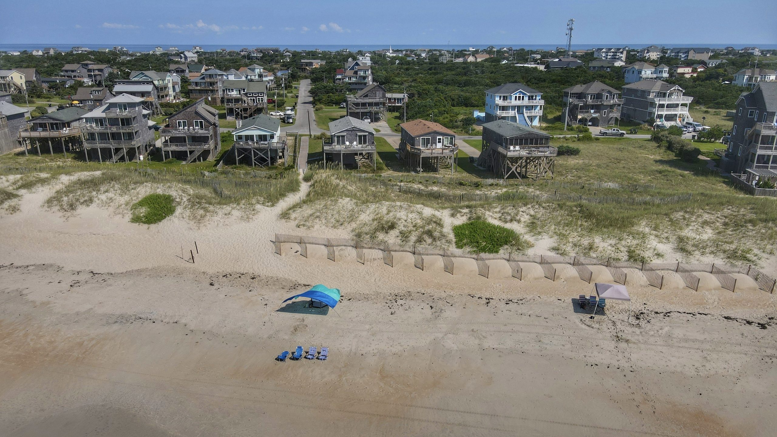
North Carolina’s Highway 12 is the only road to the beach towns on Hatteras Island, part of the state’s Outer Banks.
But in recent years, storms have repeatedly pushed seawater and sand across the road — blocking some parts and isolating these communities.
Outten: “Everything that goes on or off Hatteras Island has to go down Highway 12.”
Bobby Outten is the county manager for Dare County, North Carolina.
In 2011, Hurricane Irene cut the highway in two spots, forcing Hatteras residents to depend on a ferry to reach the mainland for nearly two months.
Subsequent storms have also blocked parts of the road for days.
As the climate changes, stronger storms and rising seas will increase the risk of flooding and erosion.
So two years ago, the state opened a bridge to divert the highway around an area prone to storm damage.
And now, a task force has recommended building bridges at other vulnerable spots too.
Building these bridges is expensive, but the island has few other options.
Outten: “Unless you’re going to abandon everybody and everything on Hatteras Island … then you have to have access somehow. And the most feasible access is to build these bridges around the areas that are in peril.”
Reporting credit: Ethan Freedman/ChavoBart Digital Media
Source link


