Florida Marine Forecast Interactive Clickable Zone Map
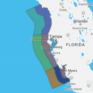
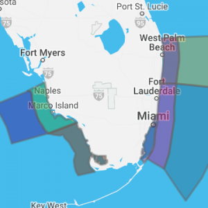
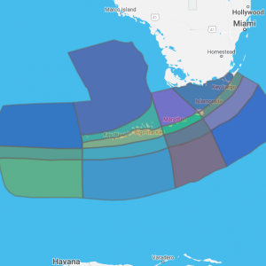
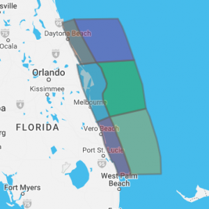
Florida NOAA marine forecasts zones for the Gulf of America, coastal waters, bays and offshore. Marine data below are from the following Florida offices listed below. Use links to view a detailed zone map or browse the interactive marine map below.
- Tampa Bay, from Bonita Beach to Suwannee River
- Miami, from Cape Sable to Bonita Beach including Jupiter Inlet to Ocean Reef
- Florida Keys, from Keys coastal waters to Dry Tortugas
- Melbourne, from Flagler Beach to Jupiter Inlet
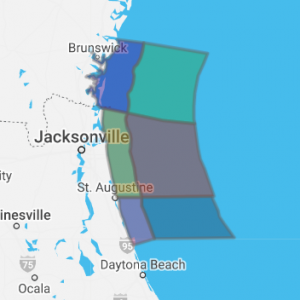
- Jacksonville, from Altamaha Sound GA to Flagler Beach
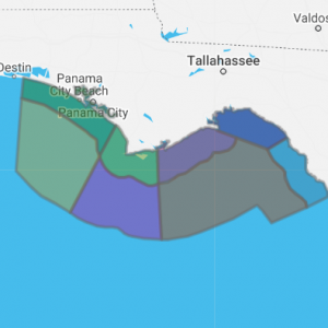
- Tallahassee, from Suwannee River to Okaloosa-Walton County Line including the Florida Big Bend and eastern Panhandle
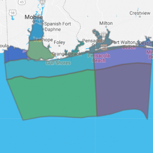
- Mobile, from Okaloosa Walton County Line To Pascagoula and western Panhandle
Click any zone on the map below to retrieve forecast
Coastal marine forecasts from NOAA National Weather Service. Marine forecasts are issued at least four times a day. Advisories, watches and warnings for marine areas are issued as required. Internet forecasts should never be relied upon to obtain the latest forecast and warning data. Use other means such as NOAA Weather Radio to obtain the latest forecasts and warnings.
Florida Marine Forecast Zones By Office Location
For more Florida marine forecast information visit the following office websites:
NOAA Miami Marine Office website
NOAA Tampa Bay Marine Office website
NOAA Florida Keys Marine Office website
NOAA Melbourne Marine Office website
NOAA Jacksonville Marine Office website


