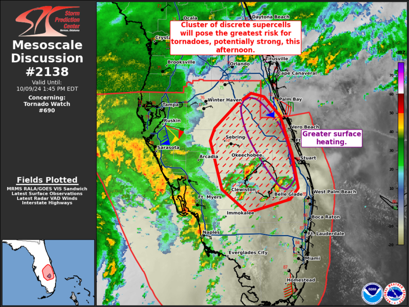
|
|
| Mesoscale Discussion 2138 | |

|
|
   Mesoscale Discussion 2138
   NWS Storm Prediction Center Norman OK
   0542 AM CDT Mon Oct 06 2025

   Areas affected...Southeast Louisiana into southern Mississippi.

   Concerning...Severe potential...Watch unlikely

   Valid 061042Z - 061215Z

   Probability of Watch Issuance...5 percent

   SUMMARY...A few rotating showers/thunderstorms may persist for a few
   more hours.

   DISCUSSION...Moderate instability has pushed inland across southeast
   Louisiana and vicinity with tropical mid 70s dewpoints present. In
   addition, the low-level jet has strengthened to around 35 knots per
   KHDC VWP. This has resulted in a few showers and occasional
   thunderstorm development near the frontal zone along the Gulf Coast.
   RAP forecast soundings show very weak deep layer/effective shear,
   but some supercell characteristics have been observed on radar over
   the past hour with 2 observed TDSs. Therefore, the stronger shear
   between the LCL/EL (35 knots) must be sufficient for some updraft
   rotation. Transient rotating updrafts and clockwise turning winds in
   the lowest km have been apparently sufficient for a few brief
   tornadoes. In addition, the low-level jet is significantly stronger
   than forecast by most guidance. This low-level jet has weakened
   slightly over the past hour on the KHDC VWP and should continue to
   slowly weaken through the morning. Given the already borderline
   environment these showers/storms have developed within, expect this
   modest reduction in the low-level jet to bring an end to the threat
   by daybreak.

   ..Bentley/Mosier.. 10/06/2025

   ...Please see www.spc.noaa.gov for graphic product...

   ATTN...WFO...JAN...LIX...

   LAT...LON   29669092 30359099 30789079 31179030 31038983 30528974
               30038971 29558979 29238995 29179034 29239067 29309078
               29669092

   MOST PROBABLE PEAK TORNADO INTENSITY...UP TO 95 MPH
|
|
|
Top/All Mesoscale Discussions/Forecast Products/Home |
|
Source link

