Headlines
- Quiet Atlantic basin for another week.
- Signs of change continue to persist in early August.
- Mid-August could be quite busy.
Happening in the Atlantic
It’s quiet out there again today.
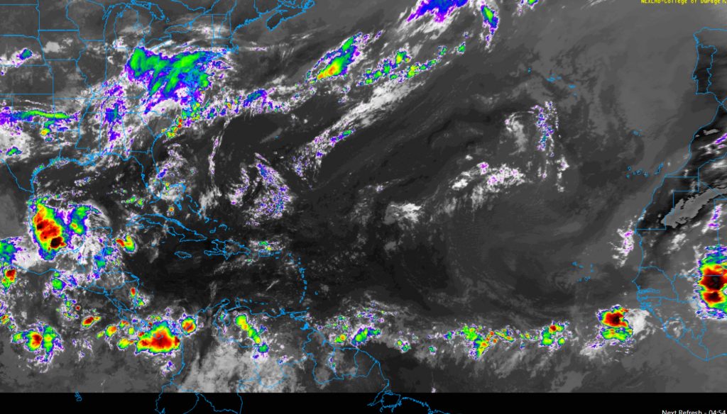
There is a smattering of showers across the Atlantic but no organized waves. The Caribbean is quiet. The Gulf is mostly quiet. There is an area of thunderstorms in the Bay of Campeche. Nothing is expected to come of that area, but with thunderstorms pestering the Gulf Coast all week and this down there, you just don’t like to totally take your eyes off this area during hurricane season. Just in case.
But in general, the next 5 to 7 days look to be void of any organized tropical activity in the Atlantic, Caribbean, or Gulf.
When will this change?
The short answer: Probably after the first few days in August.
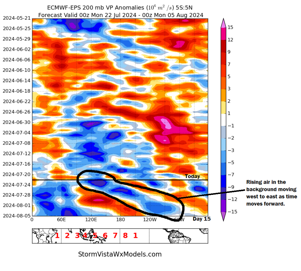
The longer answer: Let’s dive into the weeds a bit. If we look at the background state of the atmosphere in the Atlantic, it’s dominated by sinking air, which is indicated on the chart below by orange and red coloring. However, as we go into early August, I’ve circled an area of migrating rising air. You can match it to the global map below. Notice how over the next two weeks, that area of rising air in the background maneuvers its way from Indonesia to about Central America.

As this rising air moves in, it will gradually tinge the background state of the Atlantic to be more hospitable to tropical systems. Sinking air tends to suppress storm development, whereas rising air promotes it, and as this rising air passes, it will help seed the Atlantic to get ready for action as August progresses.
Could this change? Of course, but in general, this makes sense meteorologically, and this gives us some confidence that it will get busy. And given the current absurdly warm water temperatures across the entire basin, it could get quite busy.
For now, enjoy another week of general calm, and once we see signs of something we’ll address it. Look for our next update on Wednesday or Thursday.
Source link


