Headlines
- The Atlantic will remain quiet for the foreseeable future.
- Though there are no specific risks, if you had to watch somewhere through month’s end, it would be close to home, in the Gulf or off the Southeast as a wetter, cooler weather pattern takes shape.
Atlantic dormancy
As noted last week, post-Beryl, things are quiet now in the Atlantic. I’ll point you to Michael Lowry’s daily newsletter today to explain why, but in a nutshell, we’re in a hostile background state to tropical activity right now.
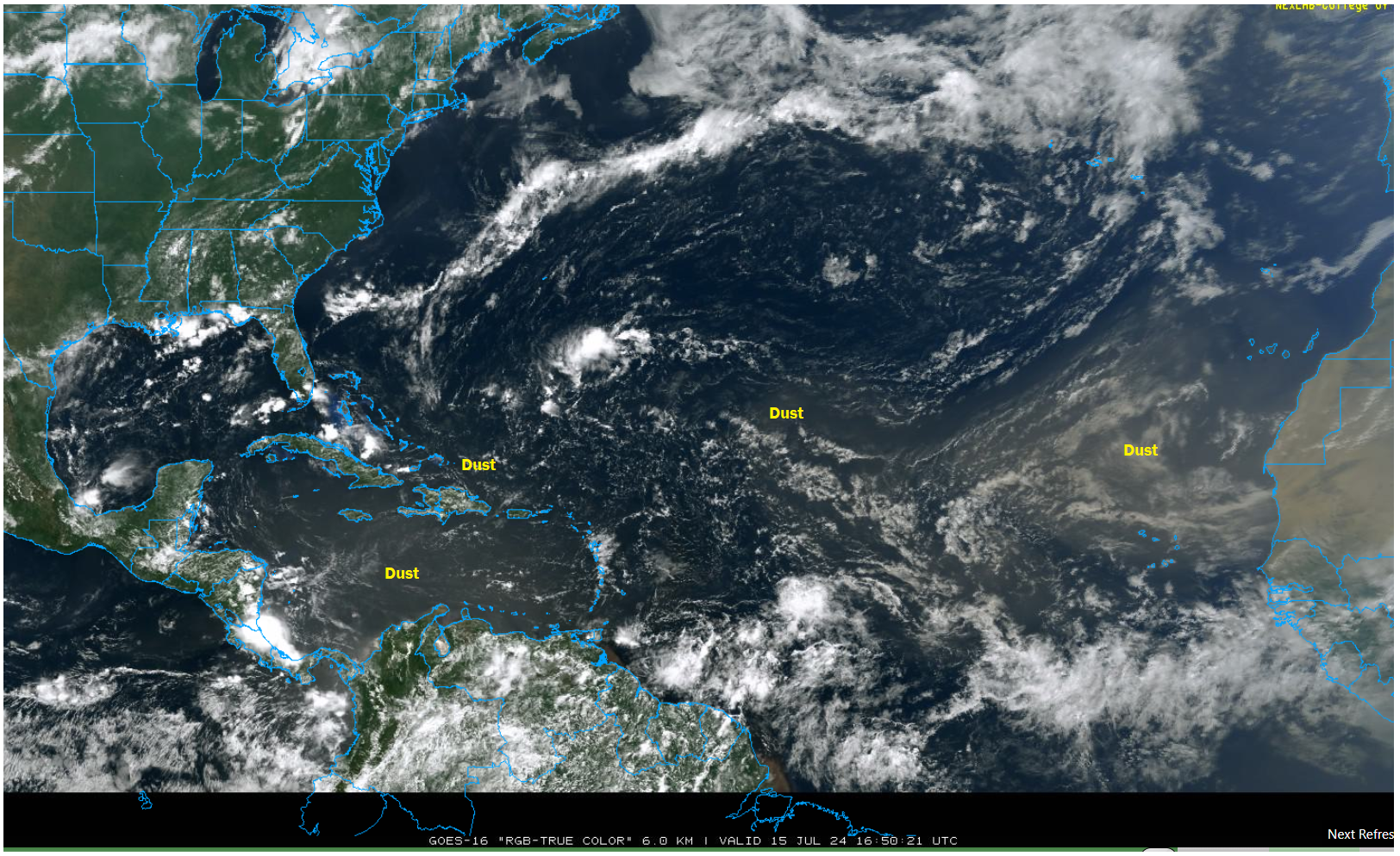
The Atlantic is dealing with plentiful Saharan dust and dry air, which tends to inhibit tropical development, in addition to the hostile background state of generally broad sinking air.
If you had to watch for something…
What should we watch for over the next week or two? We have to ask the question, right? The answer is nothing in particular. I always tell people to never just ignore the tropics in summer because stuff can sneak up on you. To that end, I would say it’s probably best to keep at least a side eye on the Gulf or off the Southeast coast in case something homegrown could develop, be it from a cluster of thunderstorms or a tail end of a cool front. That isn’t an uncommon way to spin something up, and in fact the overall weather pattern looks conducive to cooler and wetter weather near the Gulf Coast over the next week or two.

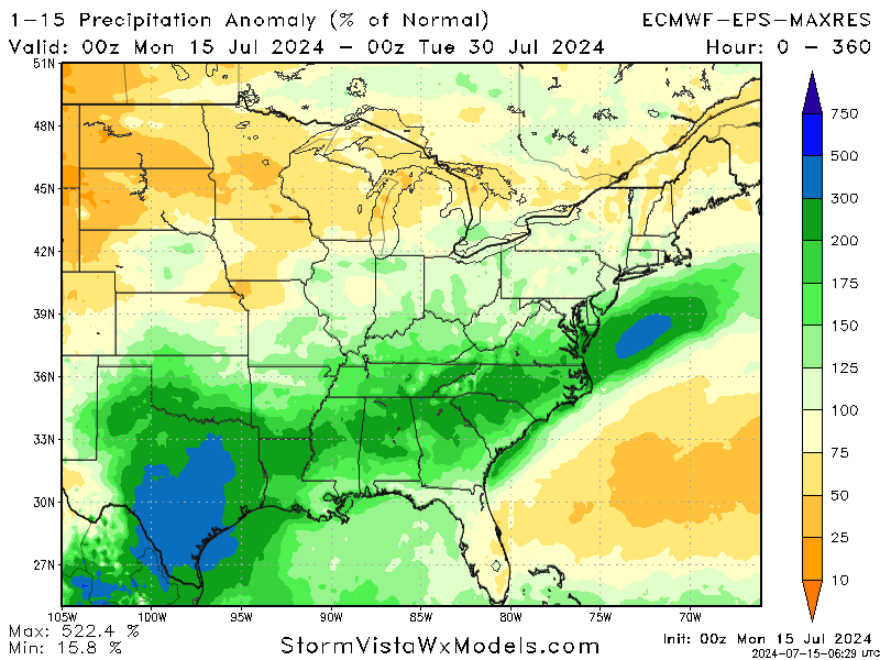
That’s some impressive rainfall across a lot of the South, including north of 300 percent of normal in Texas. To be abundantly clear, above normal rain near the Gulf does not mean anything from a tropics standpoint, but if I were watching one thing in particular over the next couple weeks, that would be it. A very low risk to be sure, but never quite zero.
I’ll stop it here for today. Our next update will be Wednesday. As long as time allows, we’ll also talk a bit about water temperatures and La Niña development, and I also want to go back to Beryl and touch on the obvious fallacy of “it’s only a category one.”
Source link