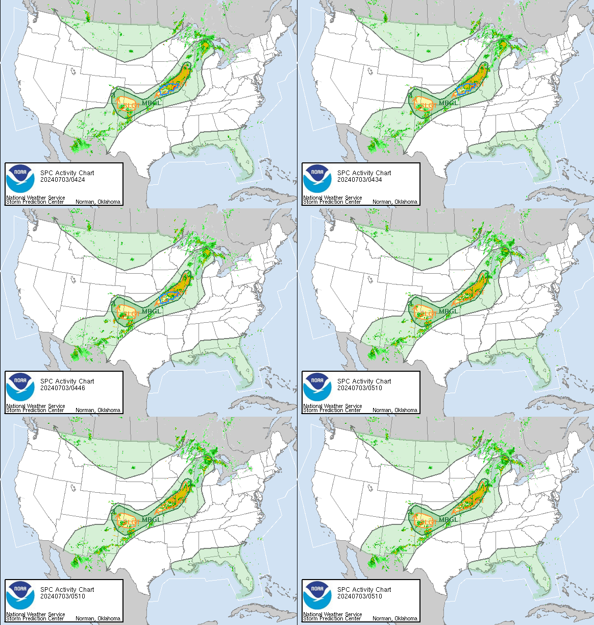
The Storm Prediction Center convective weather outlook is part of the National Weather Service (NWS) and the National Center for Environmental Prediction (NCEP). Their mission is to provide accurate forecasts and monitor the timing of thunderstorms and severe storms in the United States. The SPC provides convective outlooks on Day 1, Day 2, and Day 3 that reflect the overall level of severe weather hazard outlooks through a list of forecast statistics. This data identifies areas at risk of mild thunderstorms and severe thunderstorms. For more information on how to read this map, please see the bottom of this page.

Convective Outlook Day 1

SPC Day 1 Outlook Discussion
ACUS01 KWNS 280548 SWODY1 SPC AC 280546 Day 1 Convective Outlook NWS Storm Prediction Center Norman OK 1246 AM CDT Sat Mar 28 2026 Valid 281200Z - 291200Z ...NO SEVERE THUNDERSTORM AREAS FORECAST... ...SUMMARY... Isolated thunderstorms will be possible this afternoon across the southern Florida Peninsula and Florida Keys, but no severe threat is forecast. ...DISCUSSION... Northwest mid-level flow will continue across much of the central and eastern U.S. today, as a cold front advances southward across Florida. Isolated thunderstorms will be possible south of the front within a moist airmass across parts of south Florida and the Florida Keys this afternoon. No severe threat is forecast, and no thunderstorms are expected over the remainder of the continental U.S. ..Broyles/Chalmers.. 03/28/2026 $$ |
Convective Outlook Day 2

SPC Day 2 Outlook Discussion
ACUS02 KWNS 280547 SWODY2 SPC AC 280545 Day 2 Convective Outlook NWS Storm Prediction Center Norman OK 1245 AM CDT Sat Mar 28 2026 Valid 291200Z - 301200Z ...NO SEVERE THUNDERSTORM AREAS FORECAST... ...SUMMARY... Isolated thunderstorms are possible across the southern Florida Peninsula and portions of southern Arizona/southwest New Mexico Sunday afternoon and evening. Severe thunderstorms are not expected. ...Synopsis... Surface high pressure is gradually building across the central CONUS in the wake of a recent cold frontal passage. Aloft, broad-scale ridging will gradually shift east from the Southwest towards the lower MS Valley over the next 24 hours. The combination of dry conditions behind the front and broad subsidence/height rises will preclude thunderstorms for most regions. Exceptions to this will likely be the southern Florida peninsula and portions of Arizona and New Mexico. 00z soundings from south FL sampled sufficient low-level moisture for surface-based buoyancy, and further moistening is anticipated over the next 48 hours. While poor lapse rates and weak deep-layer shear will modulate thunderstorm intensity, a few thunderstorms appear possible given negligible capping and localized ascent within a residual frontal zone. Across southern AZ/NM, an influx of mid-level Pacific moisture coupled with strong heating/deep mixing will likely support around 250 J/kg SBCAPE by late afternoon. Weak ascent ahead of a mid-level disturbance and/or localized orographic ascent may support a few thunderstorms. Deep inverted-V profiles may support strong downburst winds, but thunderstorm coverage will likely be too sparse to warrant highlights. ..Moore.. 03/28/2026 $$ |
Convective Outlook Day 3

SPC Day 3 Outlook Discussion
ACUS03 KWNS 280720 SWODY3 SPC AC 280719 Day 3 Convective Outlook NWS Storm Prediction Center Norman OK 0219 AM CDT Sat Mar 28 2026 Valid 301200Z - 311200Z ...THERE IS A MARGINAL RISK OF SEVERE THUNDERSTORMS PORTIONS OF THE UPPER MISSISSIPPI RIVER VALLEY AND LAKE MICHIGAN VICINITY... ...SUMMARY... Isolated strong to severe thunderstorms are possible across portions of the upper Mississippi River Valley and Lake Michigan vicinity late Monday night into early Tuesday morning. ...Synopsis... Zonal flow over the central to northern Rockies is forecast to increase over the next 48-72 hours as an upper ridge shifts towards the Southeast and a low-amplitude upper wave begins to translate along the U.S./Canadian border. Lee cyclone development is anticipated across the northern High Plains by early Monday with steady intensification expected as it migrates east ahead of the upper wave. The deepening surface low will promote northward moisture return through the MS Valley and into the upper Great Lakes region while eastward advection of 7-8 C/km mid-level lapse rates takes place aloft. Thunderstorm development appears probable overnight across the upper MS Valley and upper Great Lakes region as isentropic ascent increases along the tightening warm frontal zone of the cyclone. Elsewhere, more isolated thunderstorms are possible along the western FL Gulf coast where sea-breeze ascent within a moist and weakly capped environment should support a few thunderstorms. Similarly, isolated convection is possible across parts of the lower MS Valley within a plume of rich low-level moisture. Another day of isolated, high-based thunderstorms is expected across portions of the Southwest. Weak deep-layer wind shear across these regions will limit severe thunderstorm potential. ....Upper MS Valley/Lake Michigan... The combination of low-level moistening and steepening lapse rates aloft will support steady destabilization through Monday and into Monday night. Model consensus is that 1500-2000 J/kg MUCAPE should be in place by Monday evening across the southern WI region. Initially dry and capped low-level profiles will likely preclude thunderstorm development during the day, though increasing ascent within the 925-850 mb warm frontal zone should increase thunderstorm chances during the 00-06 UTC period. While elevated convection appears likely, hodograph elongation through the CAPE-bearing layer should support storm organization, including the potential for a supercell or two. Although storm motions along the frontal zone hint that some degree of clustering is probable, at least a localized hail threat should materialize given the favorable buoyancy/shear environment. ..Moore.. 03/28/2026 $$ |
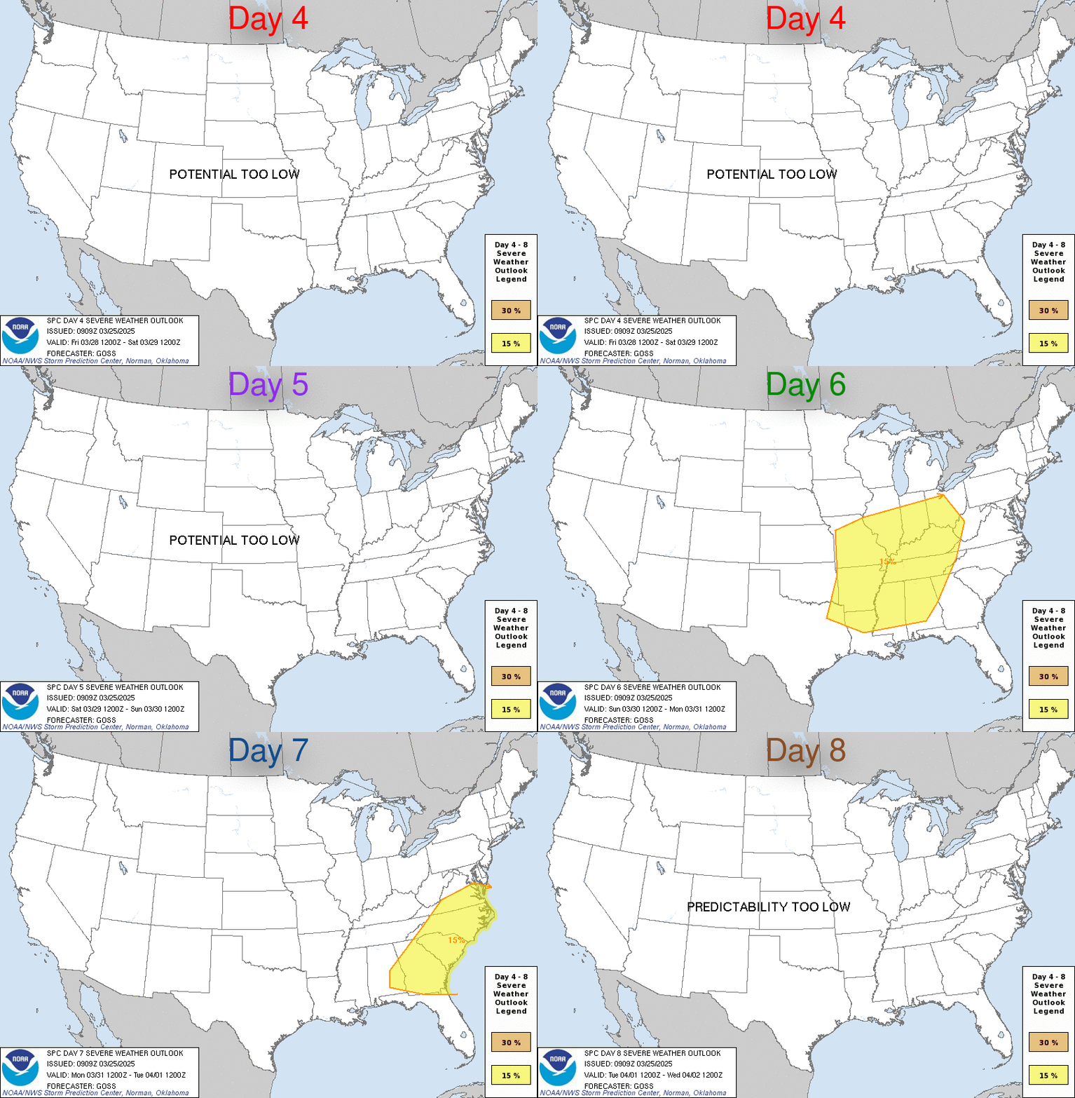
Convective Outlook Day 4-8

SPC Day 4-8 Outlook Discussion
ACUS48 KWNS 270855
SWOD48
SPC AC 270853

Day 4-8 Convective Outlook
NWS Storm Prediction Center Norman OK
0353 AM CDT Fri Mar 27 2026

Valid 301200Z - 041200Z

...DISCUSSION...
An uptick in severe thunderstorm potential is expected through the
upcoming work week and heading into next weekend. Long-range
ensemble guidance continues to show a strong signal for a return to
mean troughing across the western to central CONUS as a long-wave
ridge gradually de-amplifies and shifts east. This upper-level flow
regime will promote steady lee troughing/cyclogenesis along the High
Plains, which in conjunction with the placement of a surface high
off the East Coast, will promote moisture return northward into the
Plains and MS Valley. Strong to severe thunderstorms appear possible
multiple days next week as ascent associated with upper disturbances
embedded within the mean flow regime overspread the moisture plume.

...D4/Monday - Upper Mississippi Valley...
A low-amplitude upper wave is forecast to traverse the U.S./Canadian
border during the D4/Monday to D5/Tuesday time frame. As this
occurs, surface cyclogenesis is expected across the northern Plains.
A broad swath of isentropic ascent with in the warm conveyor of the
developing cyclone will likely support showers and isolated to
scattered thunderstorms across portions of the upper MS Valley late
Monday. A few deterministic solutions, notably the recent 00z ECMWF,
hint that the convective environment will be conducive for organized
convection, including the potential for elevated supercells.
However, ensemble agreement regarding this potential is limited.

...D5/Tuesday - Lake Michigan Vicinity...
Confidence is gradually increasing in a regional severe weather
threat across parts of the upper Great Lakes for D5/Tuesday. Over
the past 24 hours, model guidance has come into somewhat better
agreement regarding the timing and evolution of the northern Plains
surface low through as it translates east and intensifies across the
Great Lakes region Tuesday into early Wednesday. Above-seasonal
moisture return northward into the Great Lakes region is anticipated
by late Tuesday, which should support adequate buoyancy for deep
convection. Thunderstorm development appears likely along a trailing
cold front as it pushes southeast into the Midwest and MS Valley.
Based on ensemble guidance, the best convective environment may
reside across the Lake Michigan vicinity where mid/upper-level flow
should be stronger in vicinity to the upper jet and may be more
orthogonal to the front and supportive of more robust convection
compared to locations further south.

Despite the trend towards a more consolidated solution, notable
discrepancies remain pertaining to the propagation speed of the
upper wave and surface low, which introduces uncertainty in how
favorably timed the strongest ascent will be with peak
heating/destabilization and potential storm modes. These
uncertainties preclude probabilities at this time, but highlights
will likely be introduced as model consensus improves.

..Moore.. 03/27/2026
Convective Weather Outlook Legend Data
- TSTM (light green) – General or non-severe thunderstorms – Delineates, to the right of a line, where a 10% or greater probability of thunderstorms is forecast during the valid period.
- 1-MRGL (dark green) – Marginal risk – An area of severe storms of either limited organization and longevity, or very low coverage and marginal intensity.
- 2-SLGT (yellow) – Slight risk – An area of organized severe storms, which is not widespread in coverage with varying levels of intensity.
- 3-ENH (orange) – Enhanced risk – An area of greater (relative to Slight risk) severe storm coverage with varying levels of intensity.
- 4-MDT (red) – Moderate risk – An area where widespread severe weather with several tornadoes and/or numerous severe thunderstorms is likely, some of which should be intense. This risk is usually reserved for days with several supercells producing intense tornadoes and/or very large hail. Or an intense squall line with widespread damaging winds.
- 5-HIGH (magenta) – High risk – An area where a severe weather outbreak is expected from either numerous intense and long-tracked tornadoes. Also, a long-lived derecho-producing thunderstorm complex that produces hurricane-force wind gusts and widespread damage. This risk is reserved for when high confidence exists in widespread coverage of severe weather with embedded instances of extreme severe. (i.e., violent tornadoes or very damaging convective wind events).
This data is courtesy from the Storm Prediction Center

