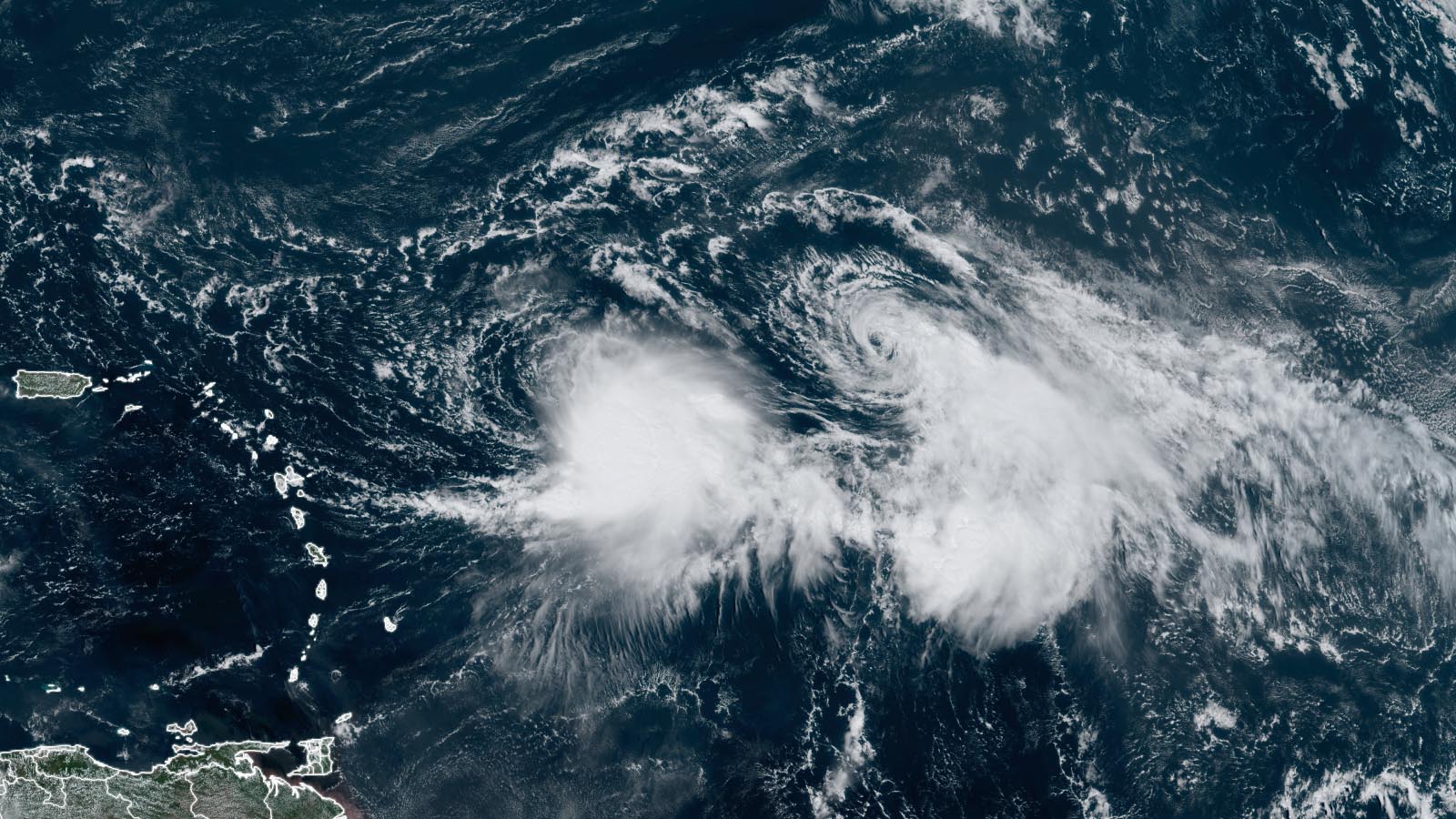
It’s double trouble for forecasters in the Atlantic waters a few hundred miles east of the Leeward Islands, where two tropical storms, Rina and Philippe, were spinning in close proximity, complicating the forecast for both storms. At 11 a.m. EDT Friday, Tropical Storm Philippe was located about 510 miles east of the northern Leeward Islands, headed west-southwest at 2 mph, with top sustained winds of 45 mph and a central pressure of 1003 mb. Tropical Storm Rina was located about 550 miles to Philippe’s east, headed north-northwest at 6 mph, and also had top sustained winds of 45 mph and a central pressure of 1003 mb. Neither storm is predicted to be a threat to the Leeward Islands, but residents there should continue to monitor forecasts for these two hard-to-predict tropical storms.
A tough forecast
The interaction between Philippe and Rina has resulted in huge forecast errors for the National Hurricane Center. Their forecast point for Philippe for 8 a.m. EDT Monday, October 2, shifted over 600 miles from Wednesday to Friday: The Wednesday forecast called for a post-tropical system over Puerto Rico, while the Friday forecast predicted a intensifying storm approaching hurricane strength on Monday as it moves northward into the central Atlantic, over 600 miles to the east of Puerto Rico.
The interaction between two storms in close proximity is caused by the Fujiwhara effect, where two tropical cyclones rotate counter-clockwise around a common center between them. In a case like Philippe and Rina, this would tend to push Philippe more southwestward and Rina more northwestward, and this is pretty much what is being predicted by the National Hurricane Center.

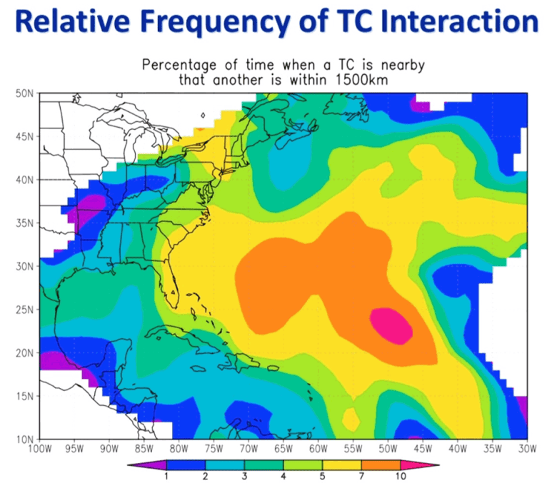
There is no accepted maximum distance for triggering Fujiwhara interaction, but according to the Hong Kong Observatory, the outer limit is no more than about 1,350 kilometers (850 miles). On Friday morning, Philippe and Rina were within 550 miles of each other. The current expectation is that the Fujiwhara interaction will be unfavorable for Rina, which will weaken to a tropical depression by Sunday night and become post-tropical a few days later. Philippe, though, is predicted to become a long-lasting storm that could be a hurricane for multiple days in the remote central Atlantic.
King tides and Ophelia’s remains deliver coastal and urban flooding, especially in NYC area
Friday’s full moon is a “super moon” – when the moon is near perigee (its closest approach to the Earth). This configuration brings much of the U.S. East Coast “king tides” – some of the highest high tides of the year. The high tides are coming during strong onshore winds caused by a combination of high pressure over Atlantic Canada and low pressure from the remains of Tropical Storm Ophelia that have merged with another low pressure system, located offshore of the mid-Atlantic coast.
The high astronomical tides and onshore winds led to “minor” to “moderate” coastal flooding during the Thursday night and/or Friday morning high tide cycles at many sites along the U.S. East Coast, from Georgia to New York City; “major” flooding was observed at Charleston, South Carolina. Minor to moderate high tide flooding is expected to continue through the weekend at many locations along the East Coast, with major flooding predicted on Sunday morning along the North Carolina Outer Banks at Duck.
In the New York City region, only minor coastal flooding from the high tides has been occurring, but extremely dangerous flash flooding hit the region on Friday because of torrential rainfall exacerbated by moisture from the remains of Ophelia. These rains exceeded six inches in Brooklyn by late morning, and several more inches are possible into Friday night. Central Park reported 5.37 inches of rainfall from Thursday night through 11:51 a.m. EDT, with more rains in store. This gave New York City 13.72 inches of rain so far in September, making it the city’s fifth-wettest month in 155 years of recordkeeping and its second-wettest September behind only 16.85 inches in 1882.
Live blogs on the NYC-area flooding were posted by the New York Times, Guardian, and BBC, among other national and global news outlets.
Source link


