Seldom does an entire season turn on a dime the way this past winter did for the contiguous United States. The regime that prevailed before New Year’s was starkly different, and much more violent, than the one that took hold with the start of 2022.
NOAA’s winter 2021-22 summary, released on March 8, found that the winter as a whole (December through February) ranked as the 18th warmest in 127 years of recordkeeping.
However, what’s much more telling is the monthly breakdown:
- December 2021: warmest December on record
- January 2022: 62nd-warmest January on record
- February 2022: 63rd-warmest February on record
As we covered in our year-end post, December 2021 was astonishingly warm over large areas, especially the Southern Plains and lower Mississippi Valley, where many locations had multiple days soar well above 70°F and even 80°F. Wichita Falls rocketed to 91°F on Christmas Eve (December 24), one of the hottest readings ever observed anywhere on Earth that far north in late December.
The same upper-level pattern that led to the record warmth spawned a mind-boggling amount of severe weather, including two historic tornado outbreaks that saw record number of twisters and fatalities for December. As the pattern began to shift on December 30, extreme winds blowing atop the drought-desiccated Colorado Front Range stoked a catastrophic wildfire that destroyed more than 1,000 homes between Boulder and Denver.
Then, as if a switch got flipped, the pattern changed around New Year’s to one largely dominated by a cold upper-level trough in the central United States. Repeated intrusions of cold air kept the central third of the nation unusually chilly in both January and February, while the Southwest mountains lurched from huge amounts of snow in December to one of the driest January-February periods ever observed.
Two examples of the sudden and drastic shift:
- From the start of autumn through December 30, Denver reported a mere 0.3 inches of snow, the lowest on record for that time period in 140 years of data. Then, from December 31 through February 28, Denver racked up 33.7 inches of snow—the second most on record for that time period, behind only 36.3 inches in 1959.
- In downtown San Francisco, October through December produced 16.16 inches of rain, the sixth most for that time period in 172 years of record-keeping. But from January through February, downtown San Francisco only mustered 0.65 inches of rain—the least on record for those two months.
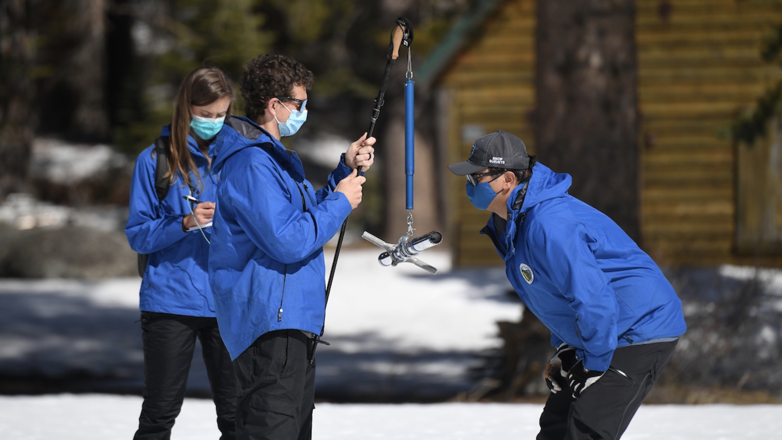
For California as a whole, January and February were each the second driest on record, with a snowpack that was bountiful in late December falling far behind by the end of February. The amount of water in the snowpack at the benchmark Phillips Station, near Echo Summit in the Sierra Nevada, was a mere 68% of average on March 1, putting the state on track for a third consecutive year of well-below-average snowpack.
As if on cue, a research team reported on February 14 that the years 2000 through 2021 ranked as the Southwest’s driest 22-year span in more than 1,200 years of paleoclimate data, inferred via tree-ring analysis. The scientists estimate that 42% of the drought’s severity in the tree data was the result of human-produced climate change, mainly through the desiccating effects of higher temperatures.
Along with the Western warmth, mildness also swept up the East Coast toward late winter. It was a top-10 warmest February in South Carolina and in California (see Figure 1 above).
The winter as a whole placed in the top 10 for warmth in Georgia, Mississippi, and South Carolina, and readings were near or above average in every contiguous state when averaged for December through February.
Dryness intensified its grip on much of the U.S. in February. Nationally, it was the 23rd driest February on record, which help put the season as a whole into a tie with 1975-76 as 12th driest on record. It was a top-10 driest February for California, Idaho, Iowa, Nebraska, Nevada, Oregon, Utah, and Wyoming, as well as Florida.
Not all places were parched, though: it was a top-10 wettest February in Indiana, Massachusetts, Ohio, Rhode Island, and Tennessee.
All told, it was a top-10 driest winter for Kansas, Nebraska, Louisiana, and Texas, and (perhaps somewhat surprisingly) a top-10 wettest winter for Minnesota.
Jeff Masters contributed to this post.
Website visitors can comment on “Eye on the Storm” posts. Comments are generally open for 30 days from date posted. Sign up to receive email announcements of new postings here. Twitter: @DrJeffMasters and @bhensonweather
Source link


