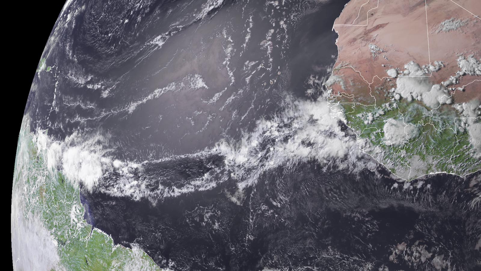
A tropical wave about to emerge from Africa on Thursday was moving west to west-northwest at 15-20 mph. Although it is very early in the season to be watching such waves for development, the record-warm ocean temperatures present across much of the tropical Atlantic give this system a chance of development next week. Recent runs of the European model ensemble (ECMWF) have a number of members that develop the wave into a tropical cyclone as it approaches the Leeward Islands late next week (see Tweet by Philip Klotzbach below), and the 6Z Thursday operational run of the GFS model predicted development of a tropical storm in the June 23-24 period, a few hundred miles northwest of the Leeward Islands (though the 12Z Thursday run of the model did not develop the system). Tropical cyclones that form from westward-moving tropical waves that emerge from the coast of Africa have traditionally been referred to as Cape Verde-type storms; they are more properly called Cabo Verde-type storms now, since the island nation off the coast of Africa that they are named for is now called Cabo Verde.
In their 2 p.m. EDT Thursday Tropical Weather Outlook, the National Hurricane Center gave the wave 2-day and 7-day odds of development of 0% and 20%, respectively. The next name on the Atlantic list of storms is Bret. If Bret does form, it will be the third Atlantic storm of the year, following the formation of Tropical Storm Arlene on June 2 and an unnamed subtropical storm on January 16. The typical formation date of the season’s third storm is Aug. 3. The record-earliest formation date of the season’s third named storm came on June 2, 2020, when Tropical Storm Cristobal formed. That year had a record 30 named storms, and holds 26 of the 30 earliest formation date records.
Updates on this system will occur within this post daily.
Website visitors can comment on “Eye on the Storm” posts (see comments policy below). Sign up to receive notices of new postings here.
Source link